Skip to content
BB IN THE WILD
  • Travels
  • Canoé
  • Blog
  • BB
  • About Us
  • Contact
  • Instagram
  • Youtube

Bryce

  • April 18, 2012March 26, 2020

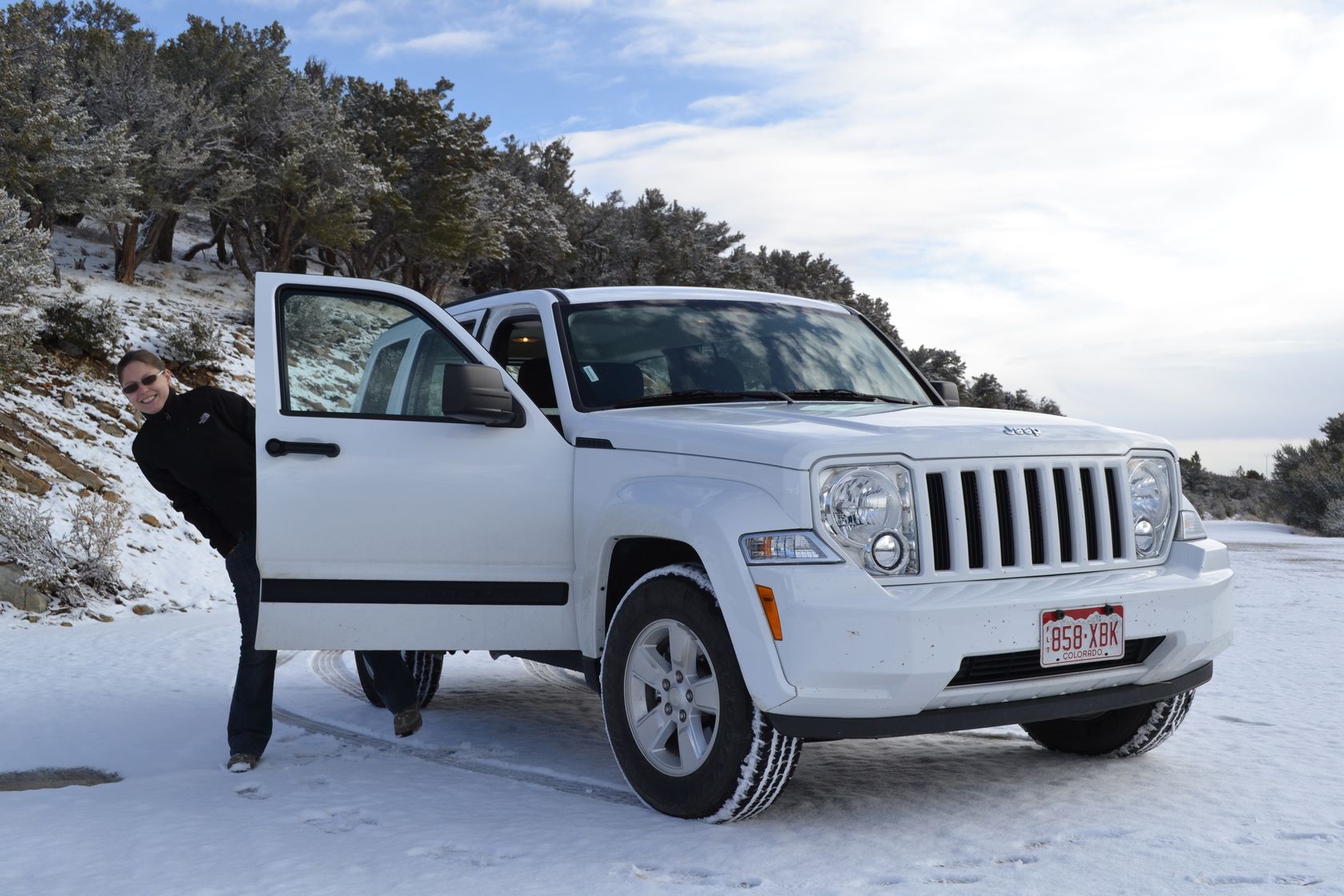
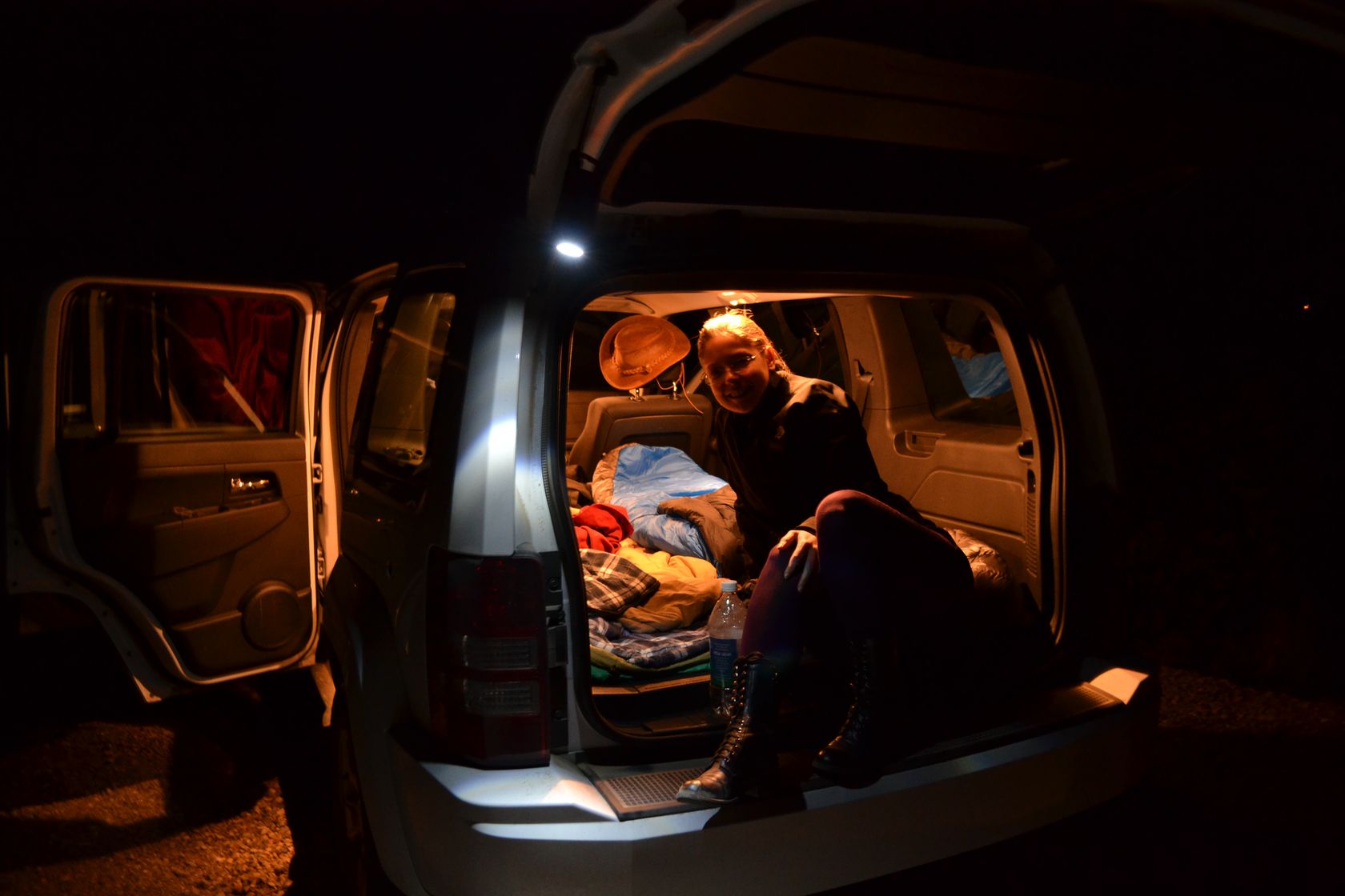
We never slept so well in a car! The night was warm and quiet. First thing in the morning, we take a shower, pack up everything, and head towards the start of the shuttles for Zion inner canyon.

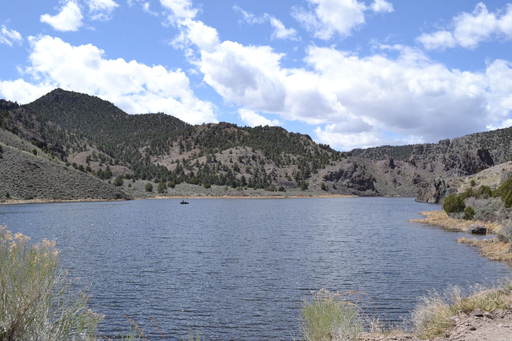
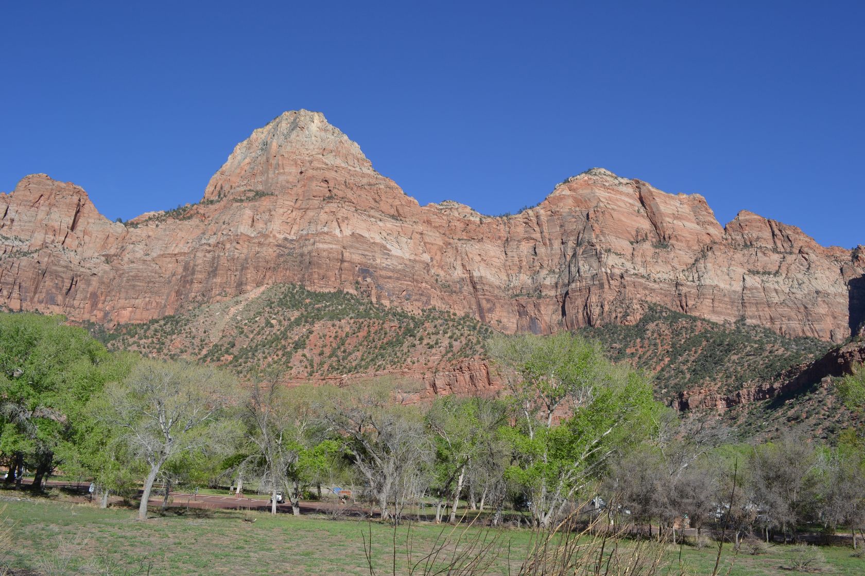
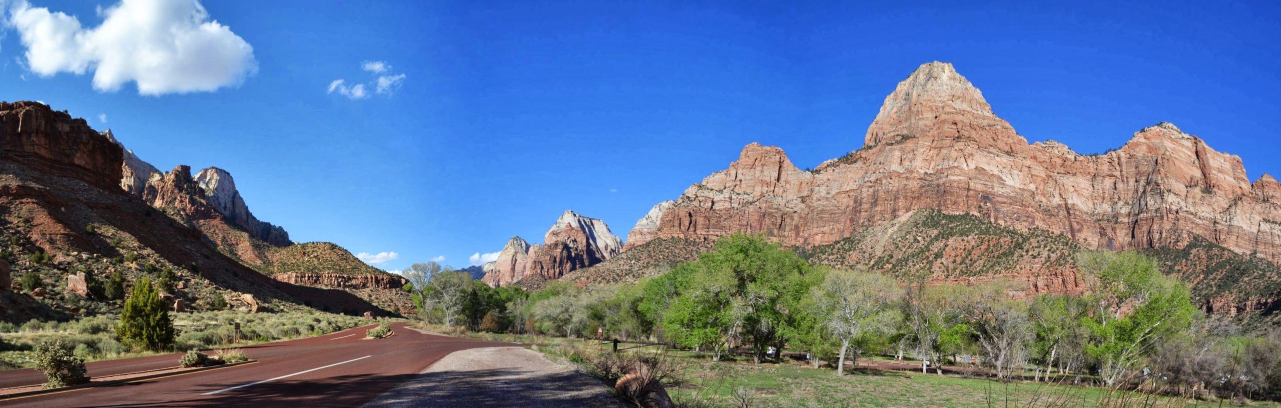
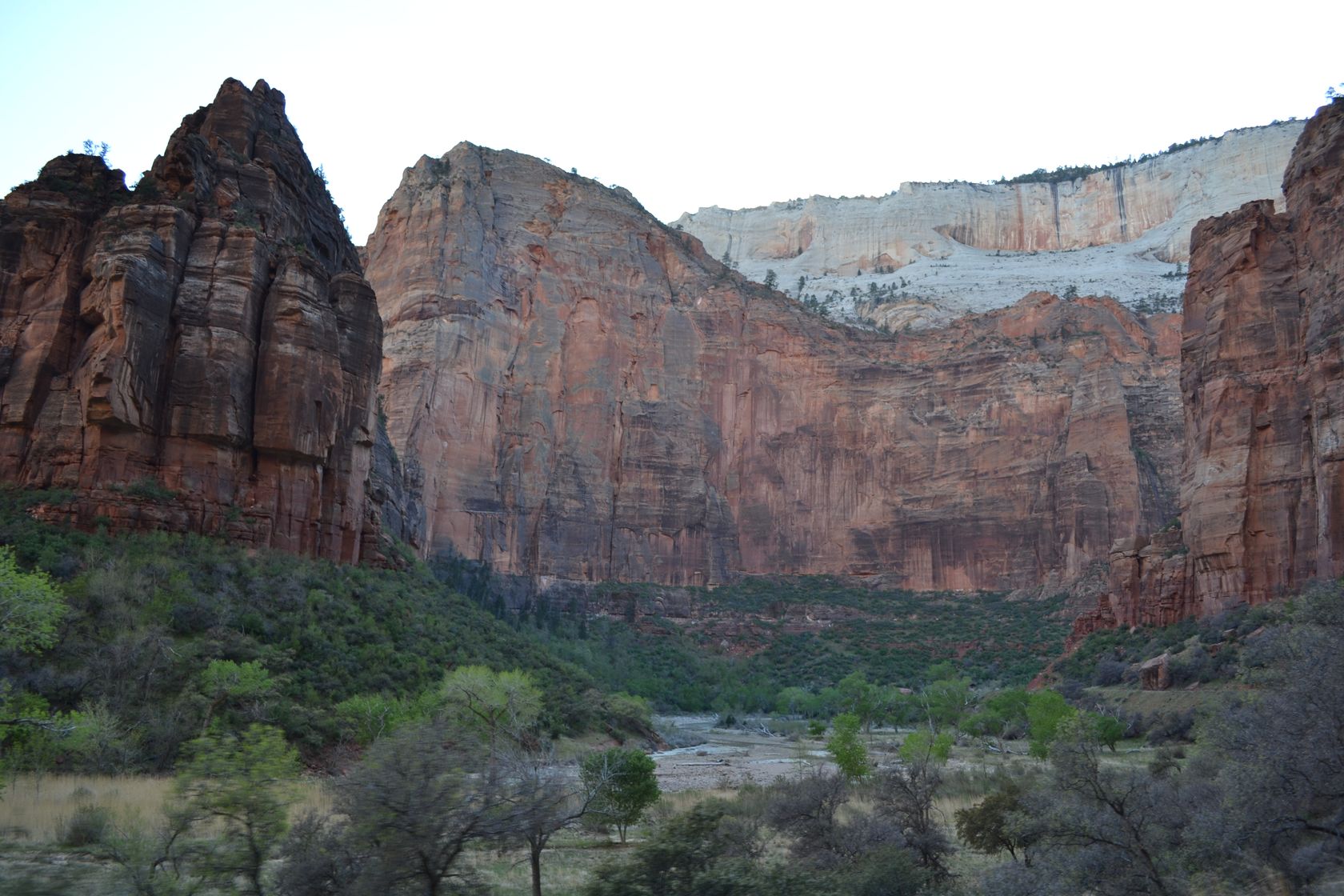
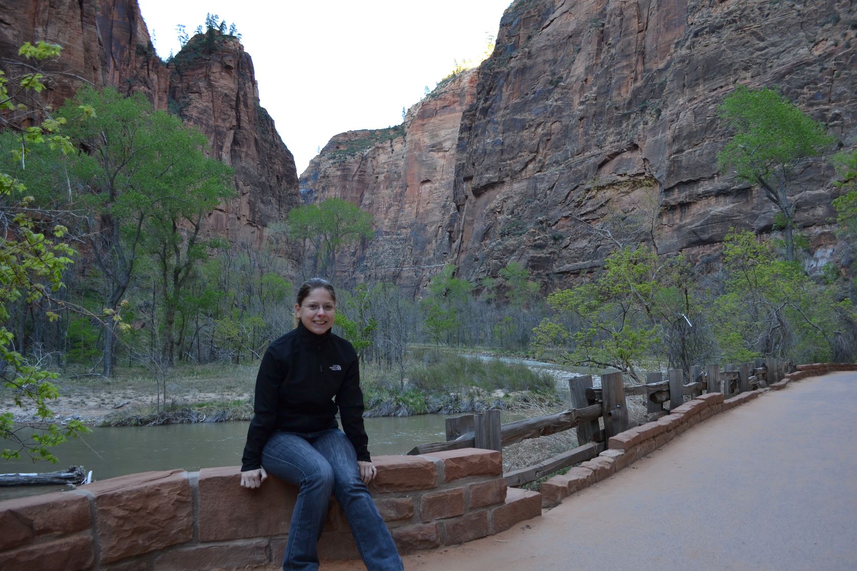
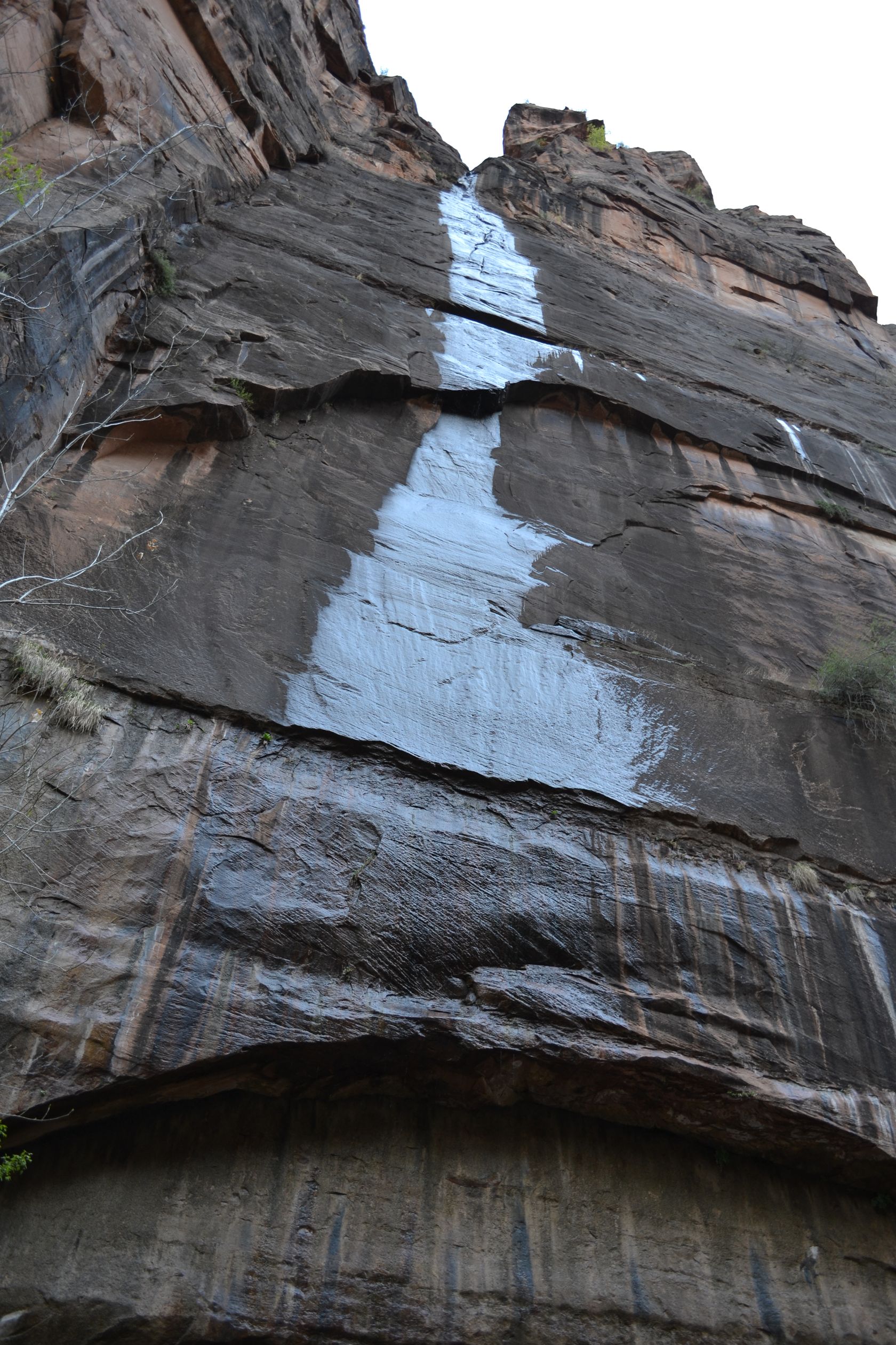
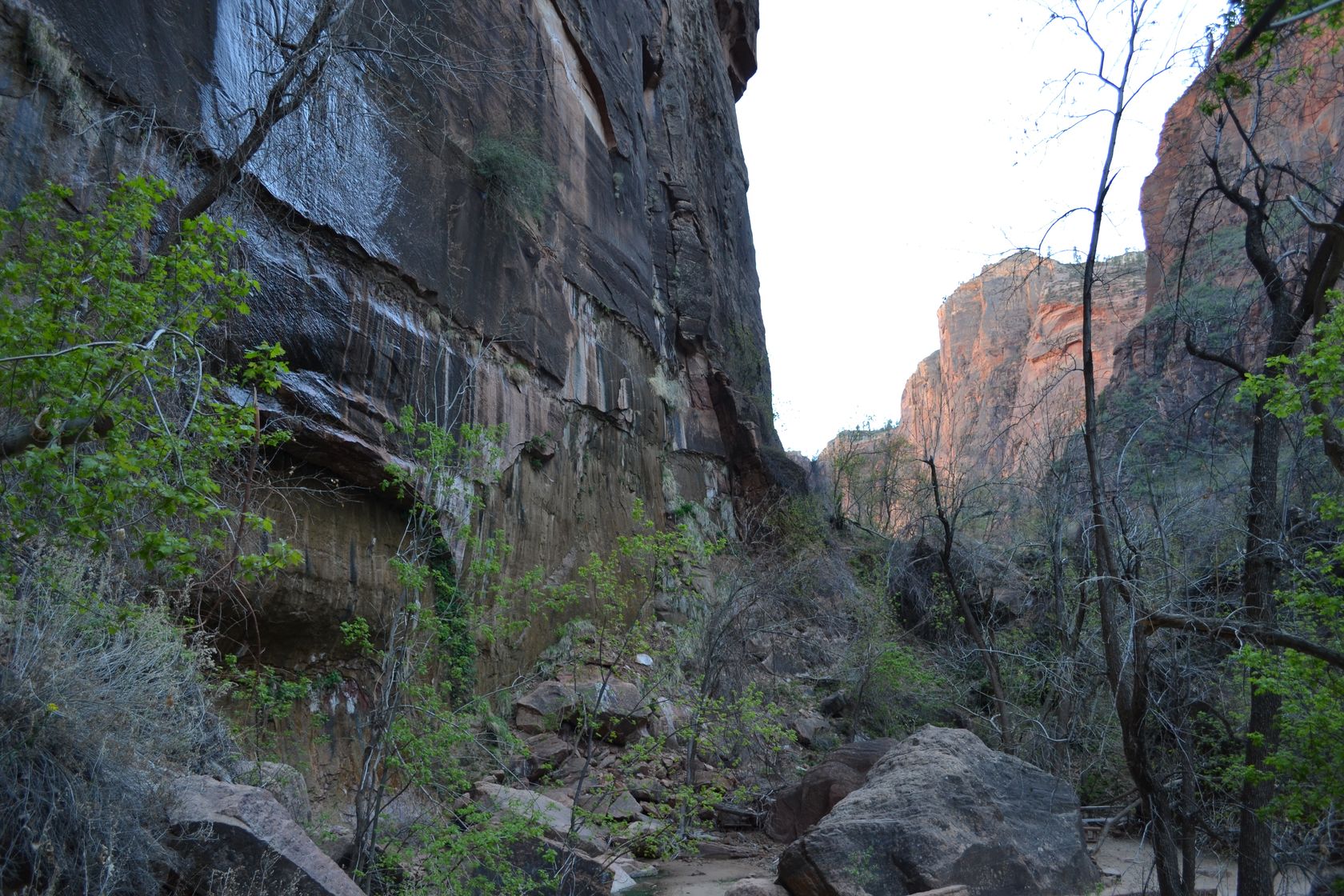
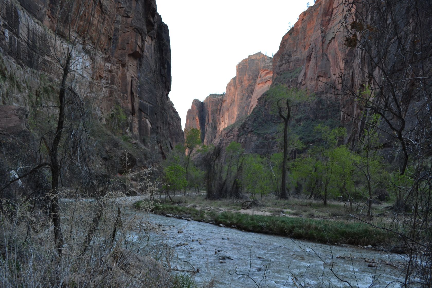
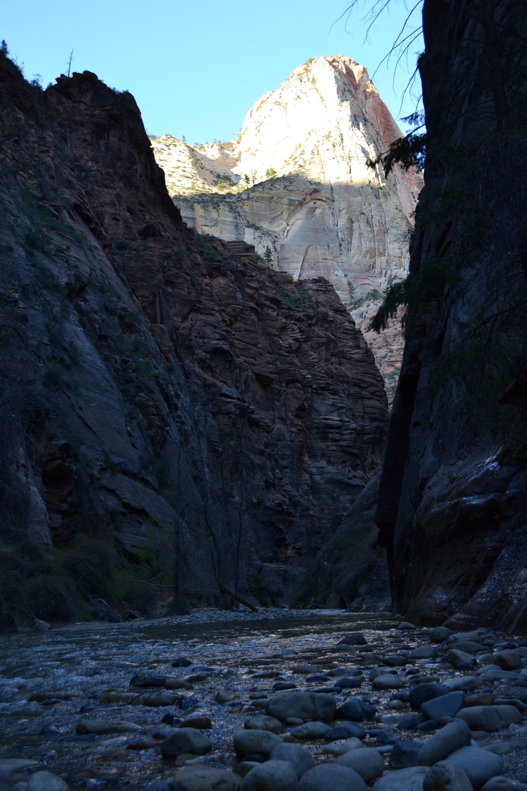
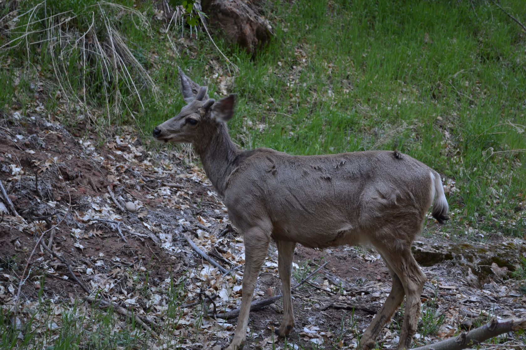
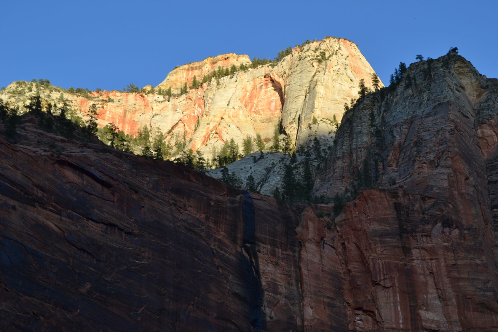
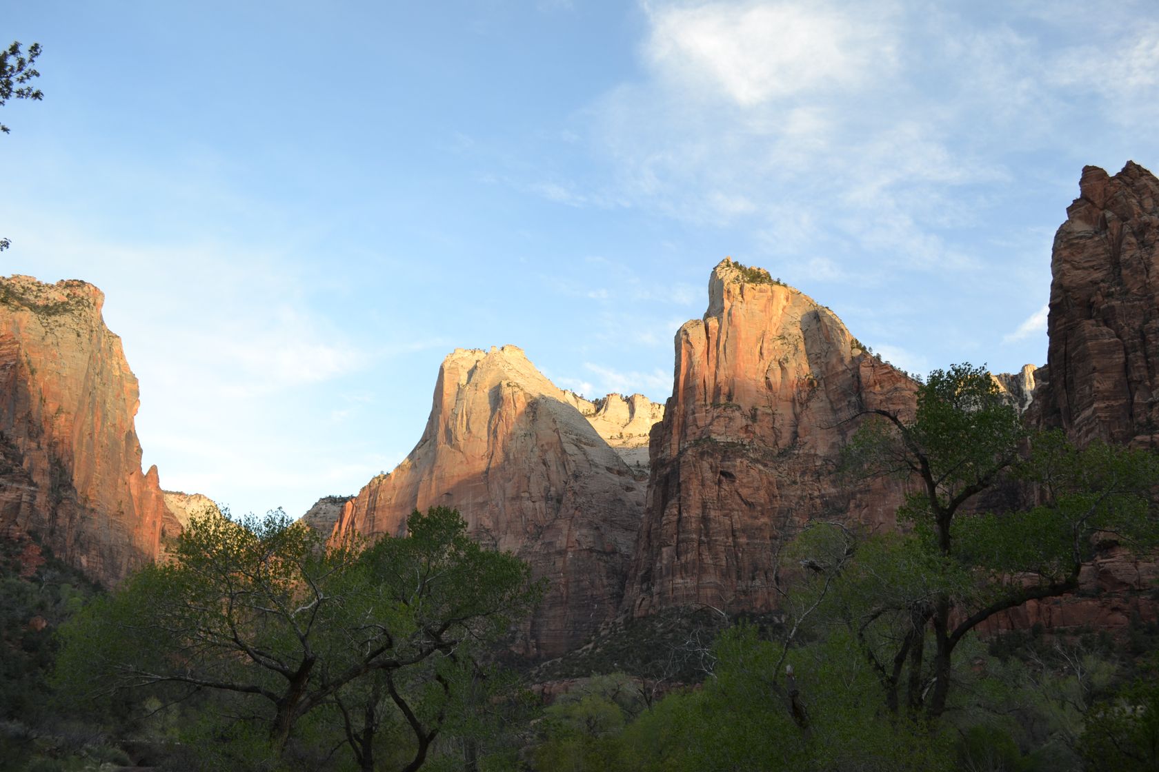
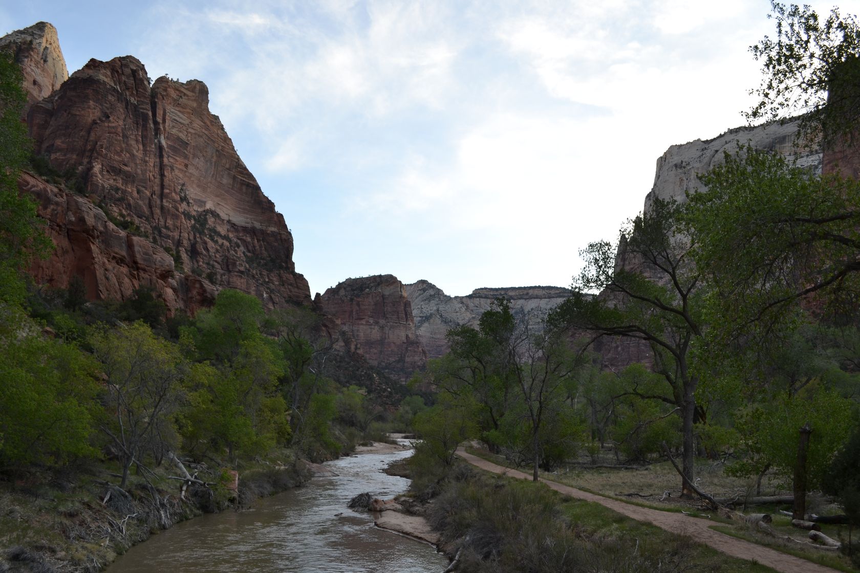
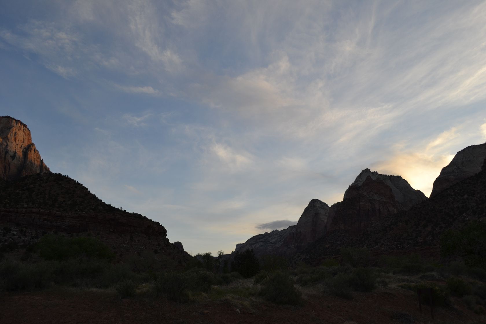
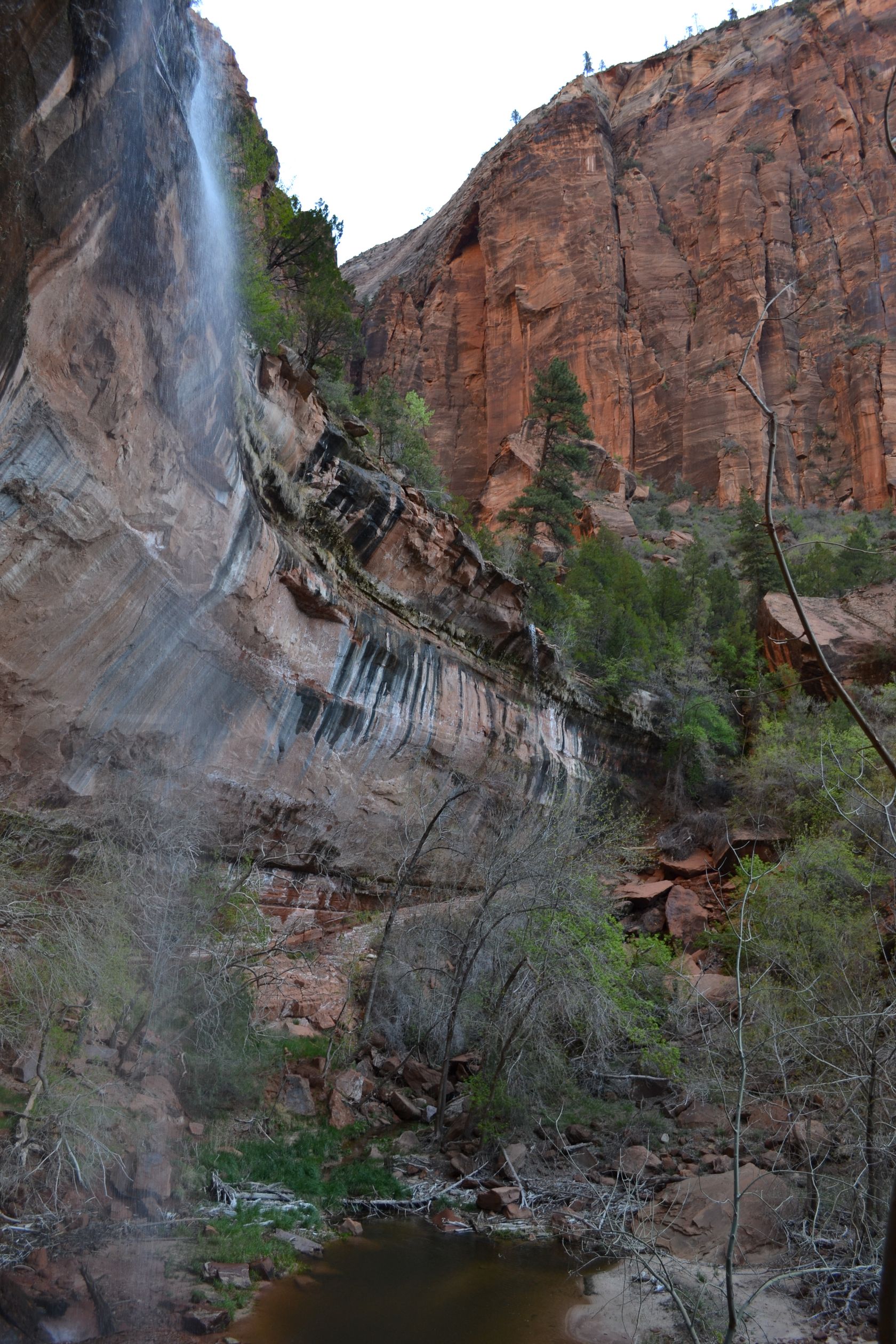
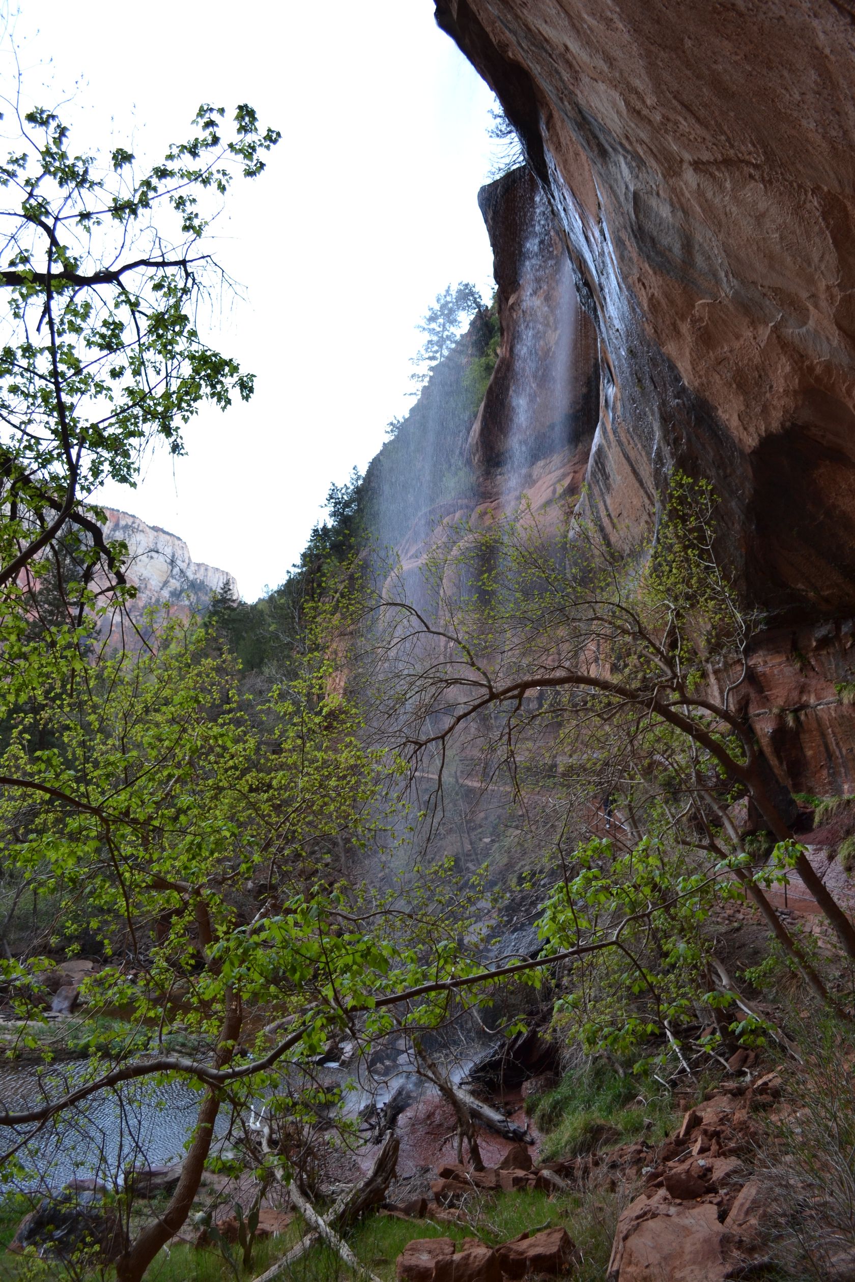
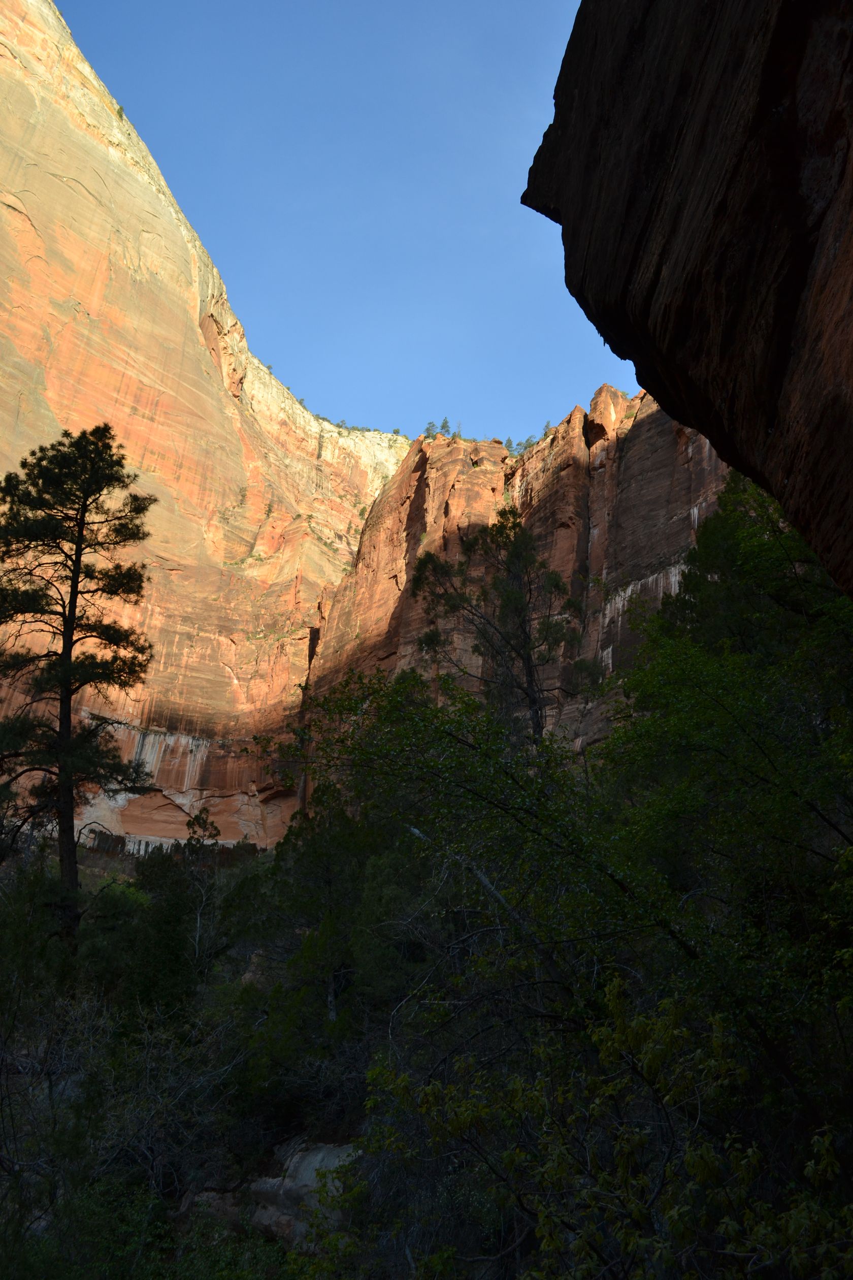
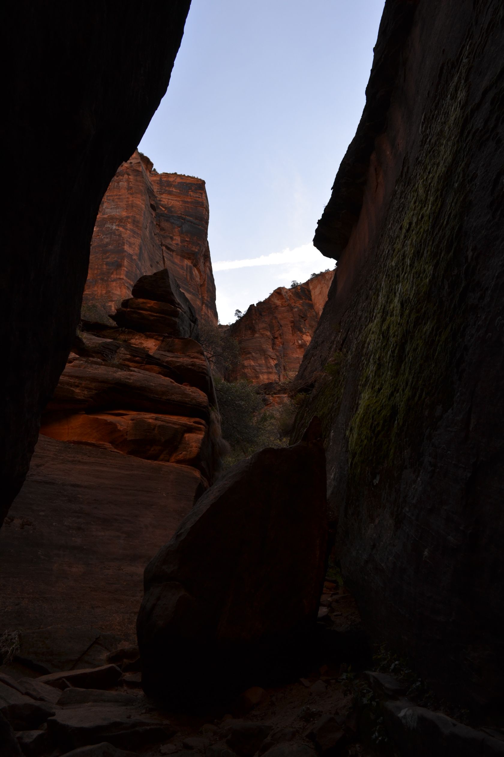
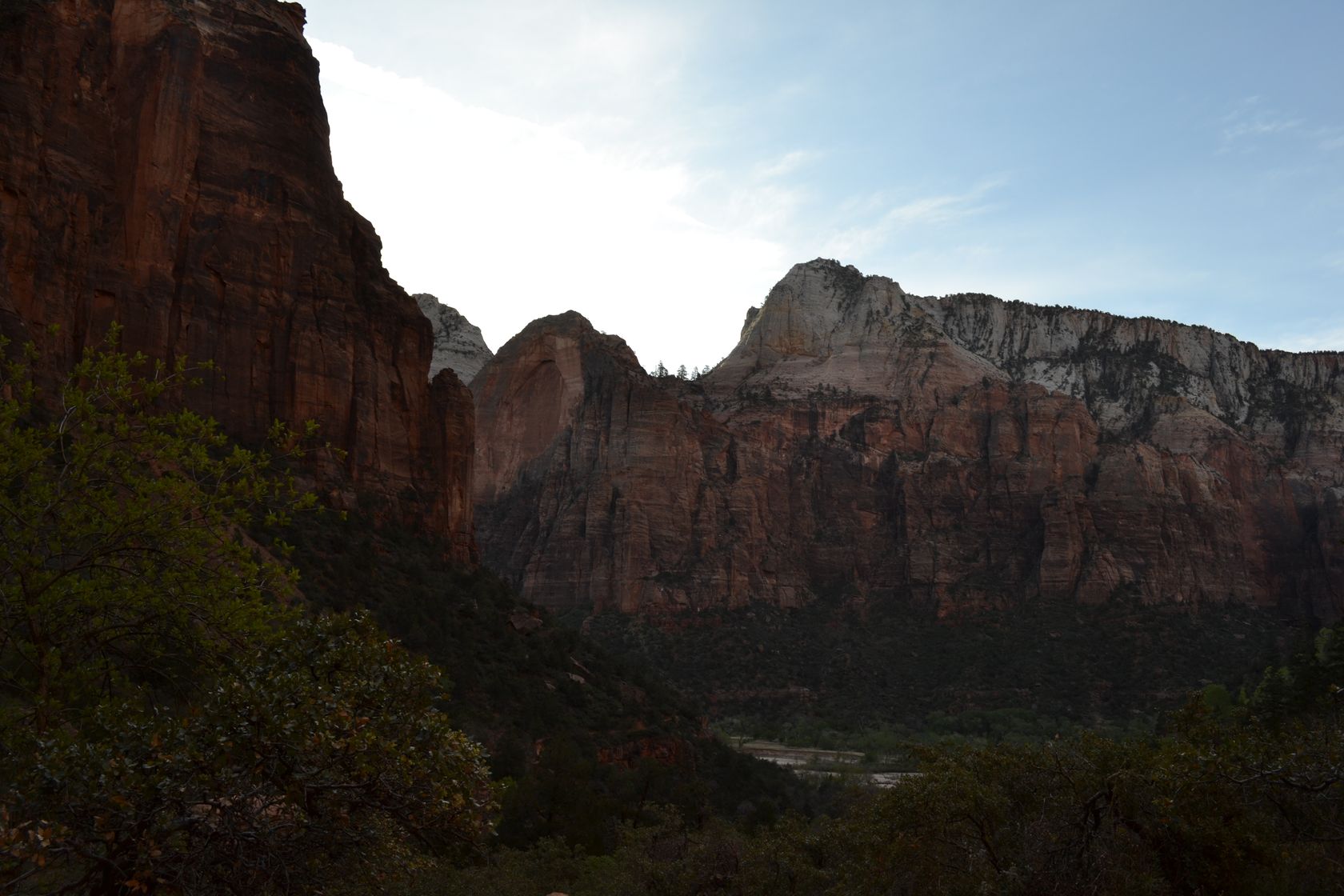
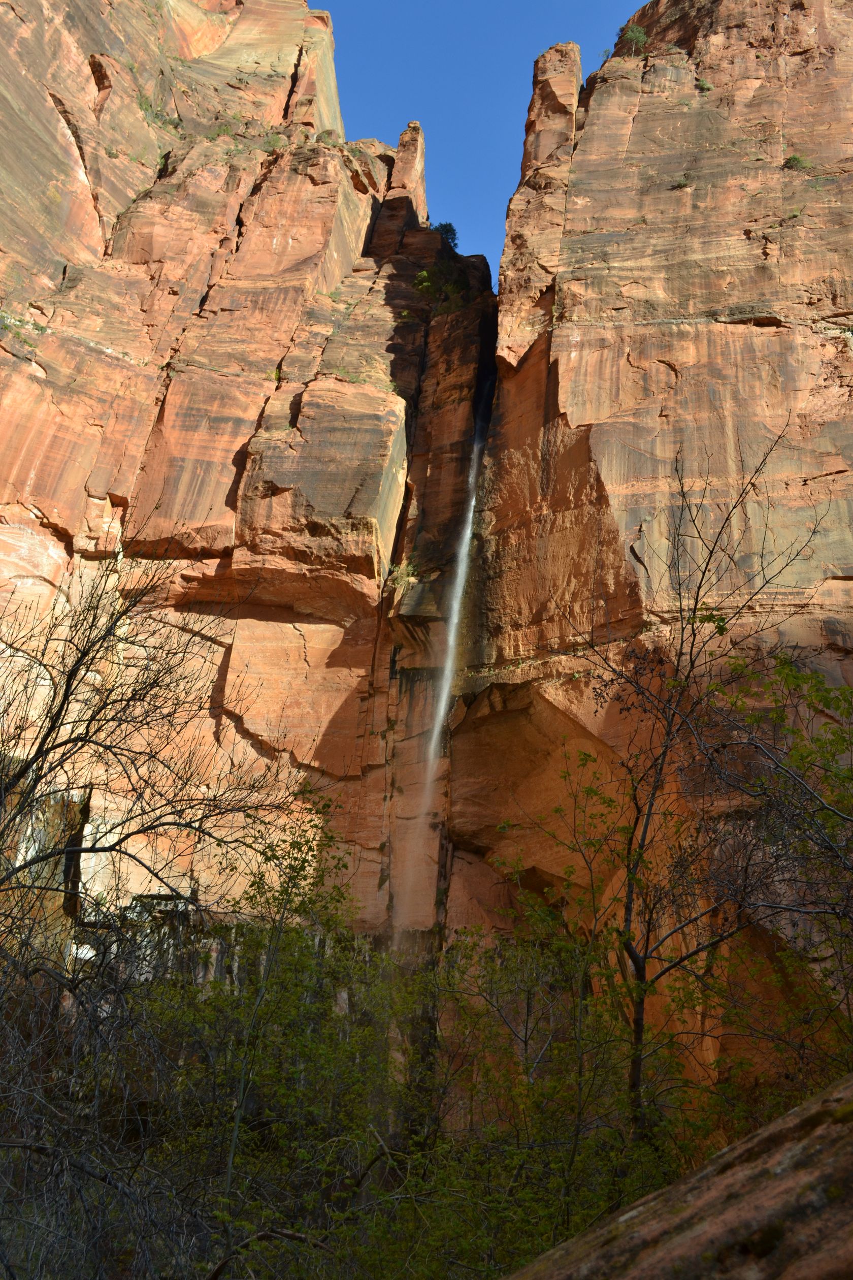
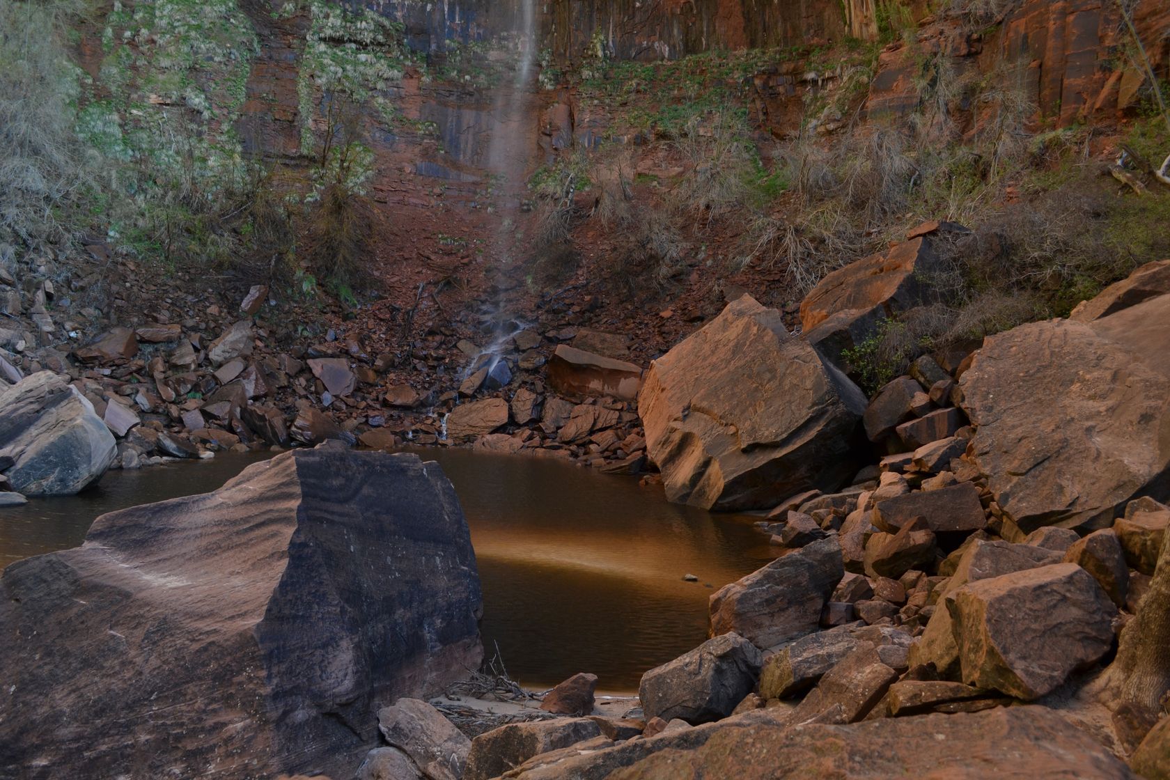
30 minutes later we are at the Zion lodge (look at previous page to see the map), and start hiking the Emerald Pools trail. The sun is still low and the light is perfect for pictures!

DSC_3274
DSC_3277
DSC_3283
DSC_3286
DSC_3287
DSC_3296
DSC_3298
DSC_3301
DSC_3304
DSC_3308

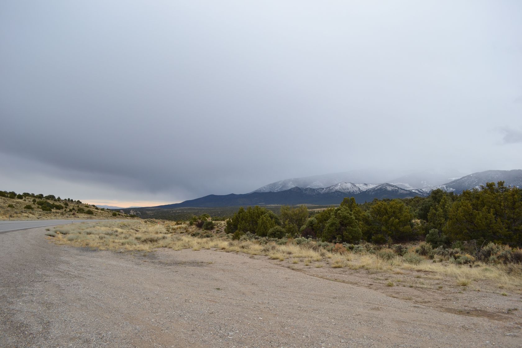
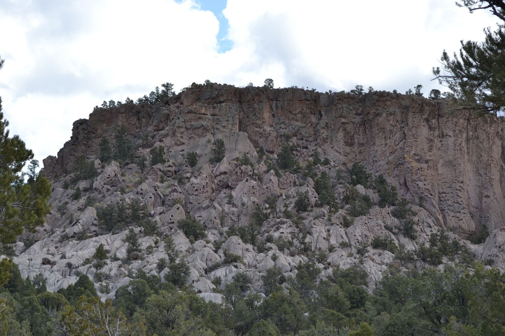
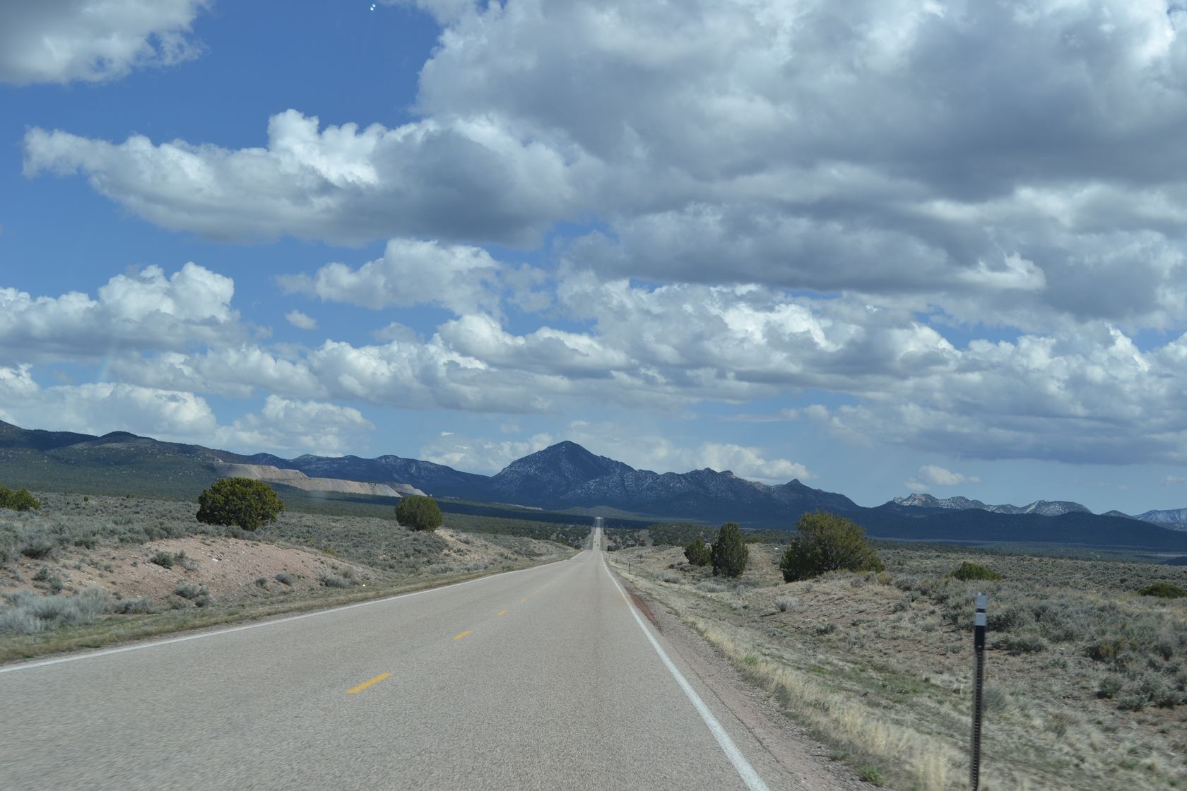
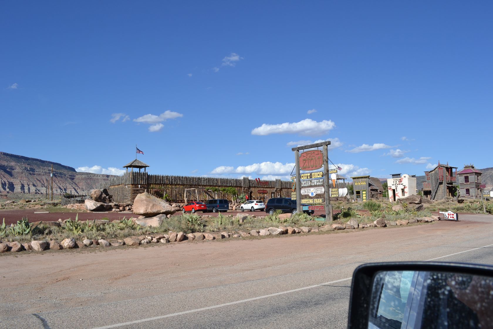
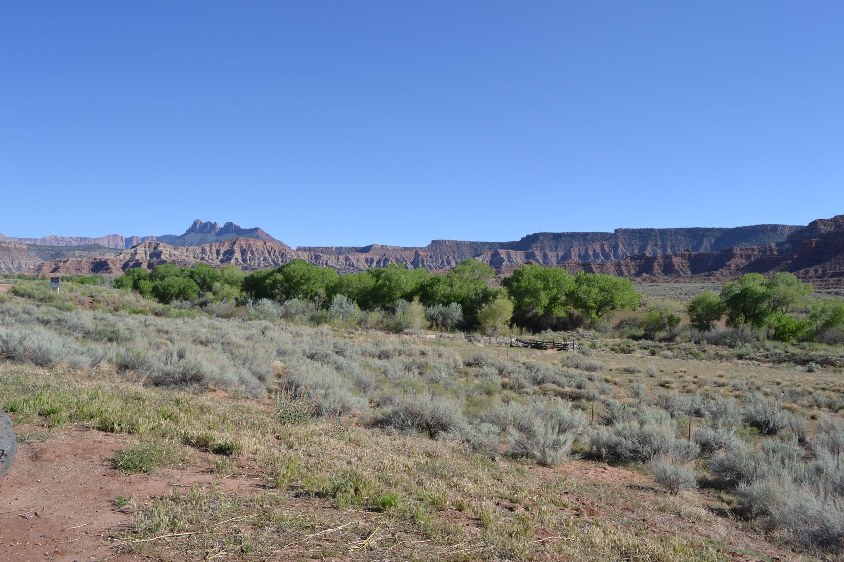
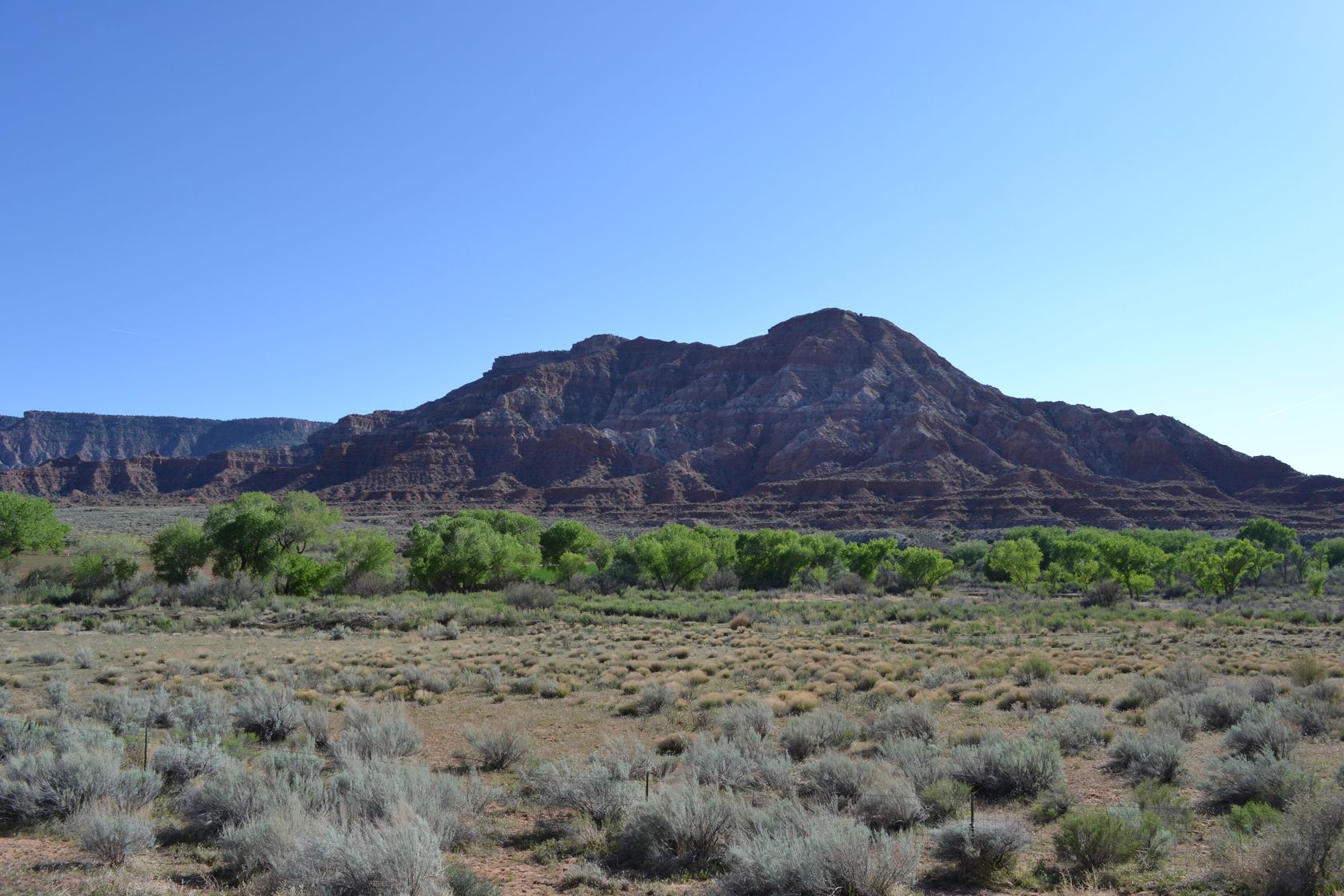
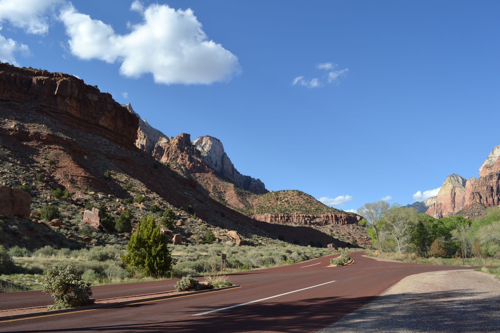
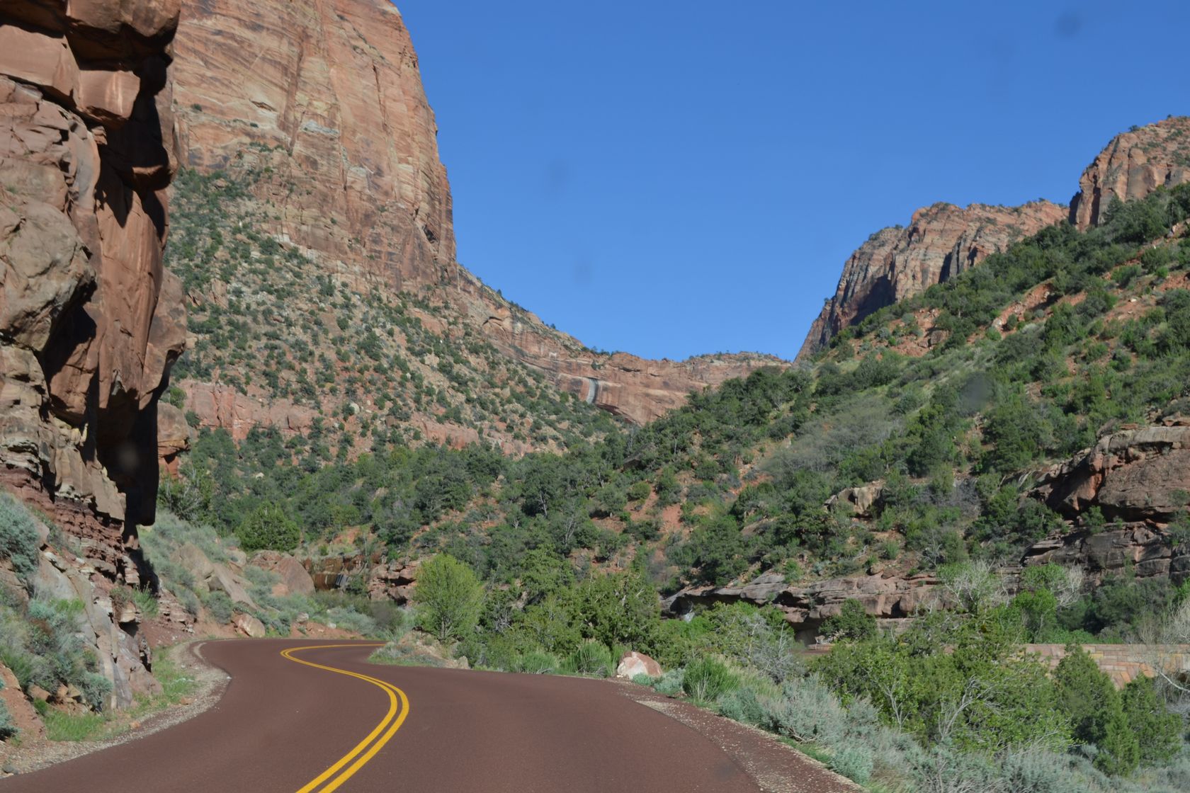
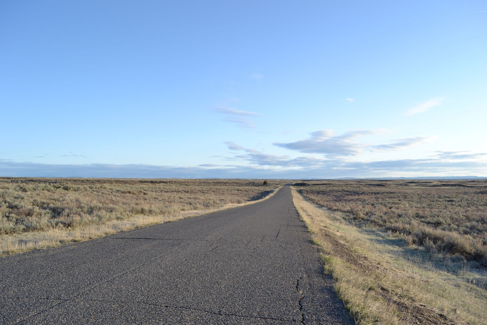
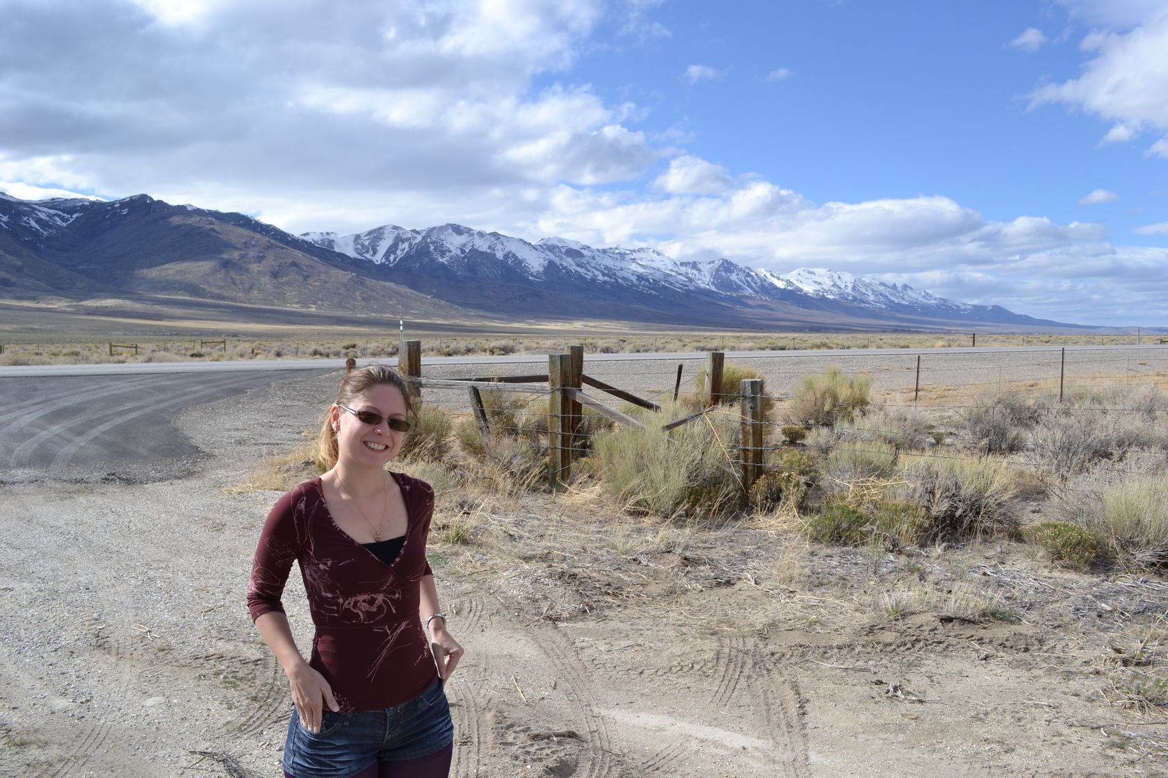
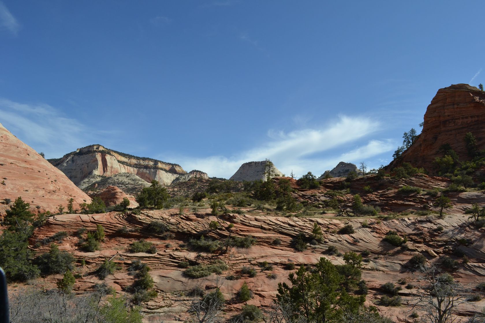
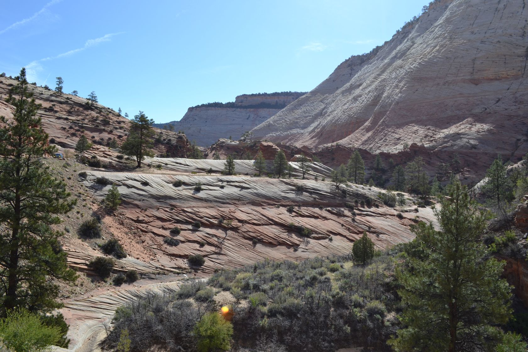
We finish the walk at around 9AM, and stop again at the lodge to get coffee and tea. The coffee is a wonder! We start our journey towards Bryce Canyon. The road from Zion starts by a dark tunnel which leads to a rocky plateau, with colors in the reds and yellows.

DSC_3312
DSC_3313
DSC_3314

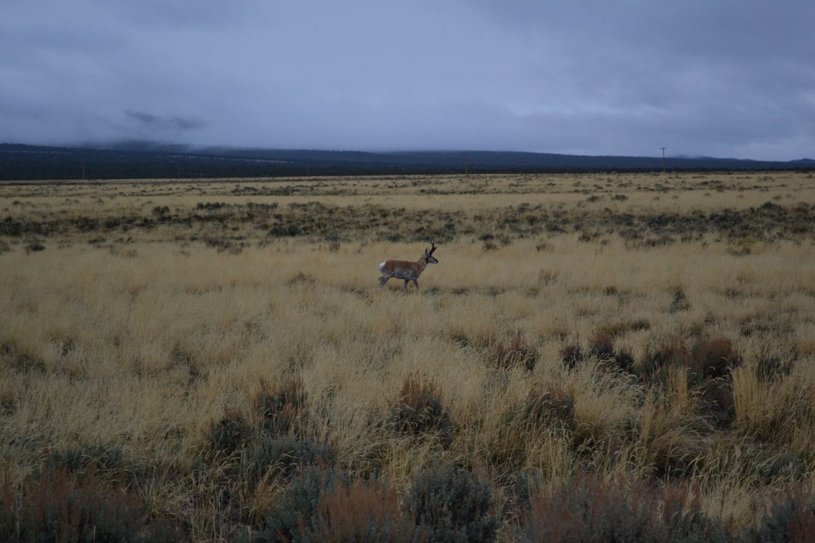
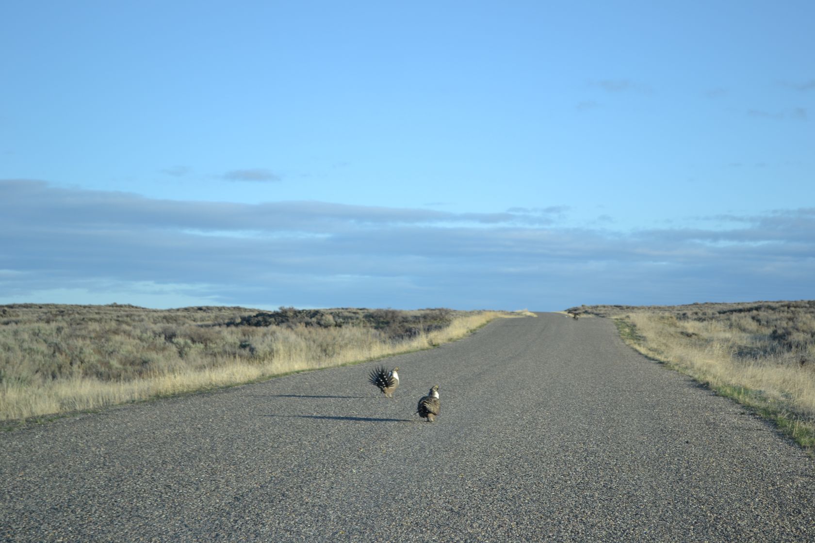
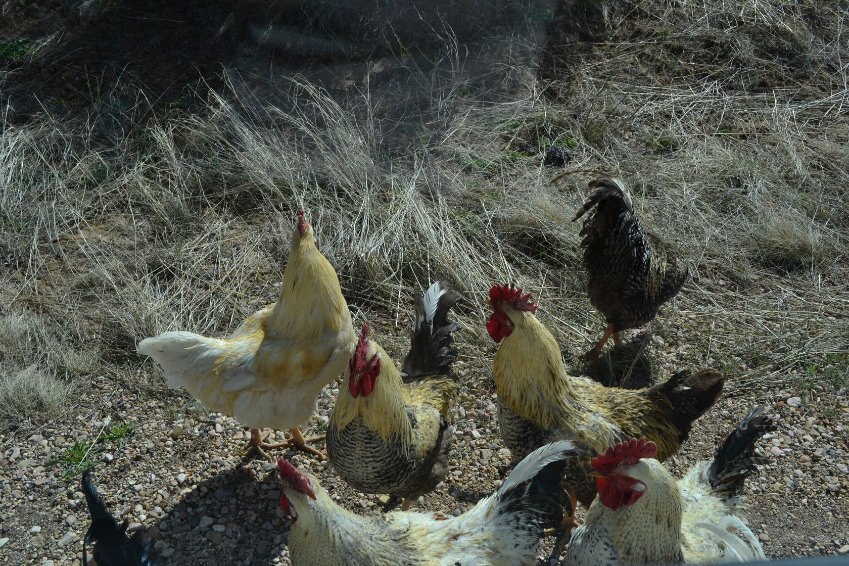
At some point we park on the side of the road to look at the map, and we are almost attacked by wild chickens! There are at least 20 around the car! The picture is taken from the car, we don’t dare to get out, they look very agressive…

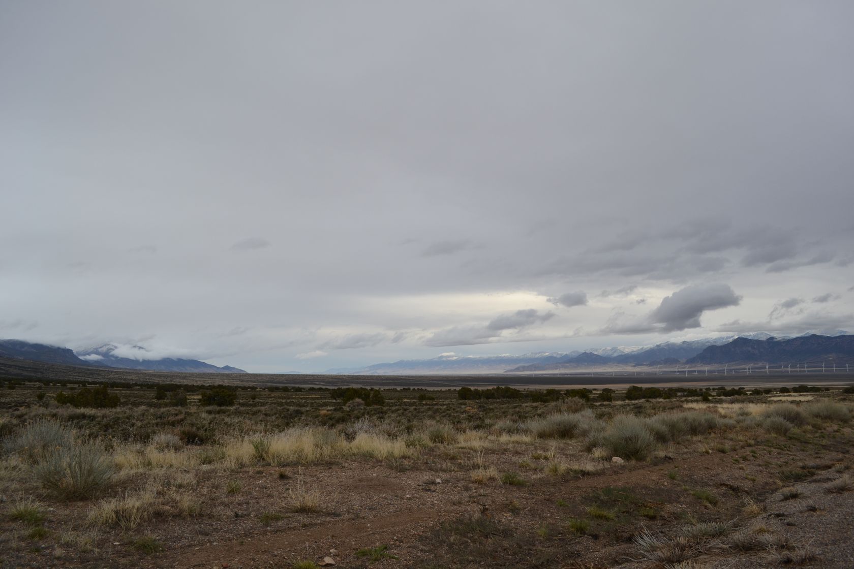
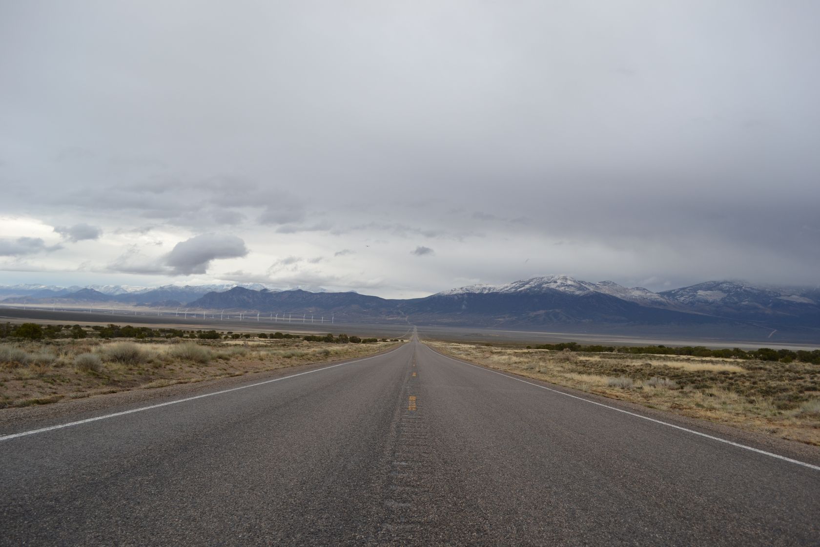
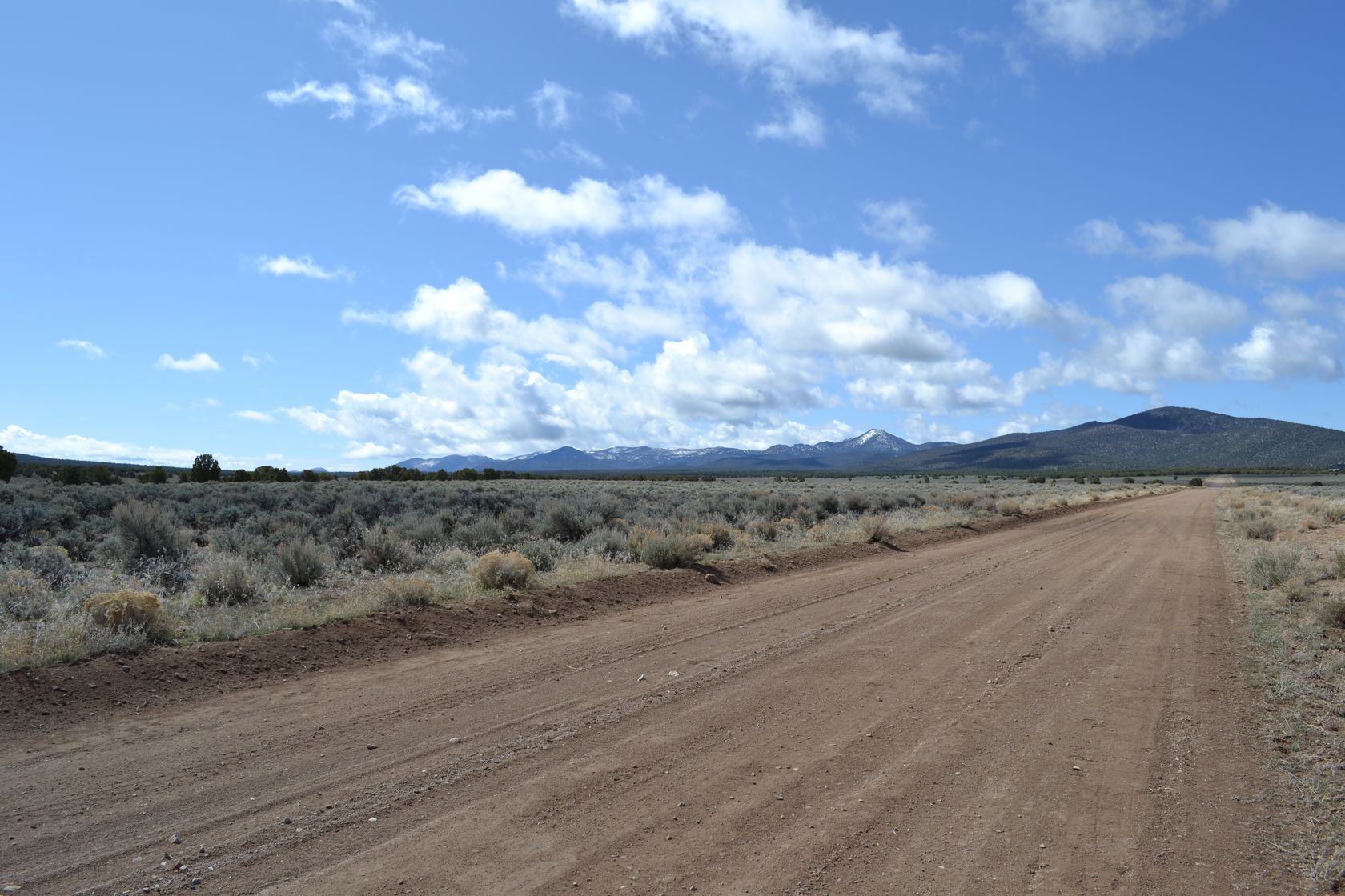
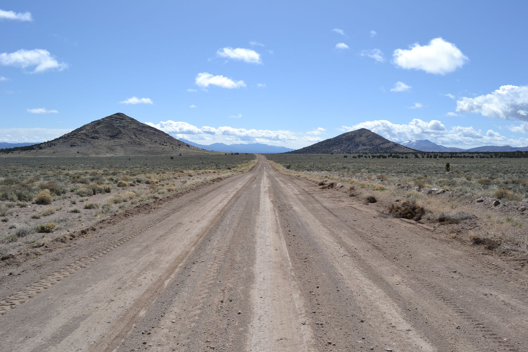
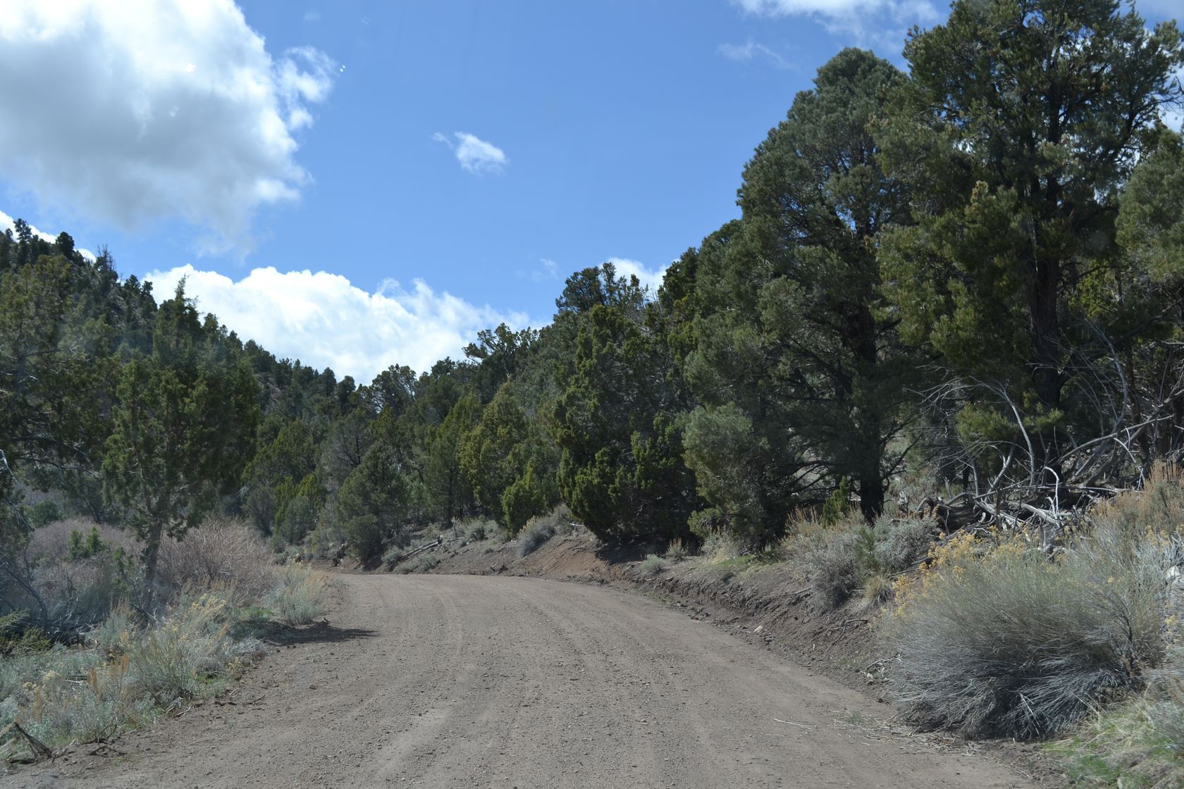
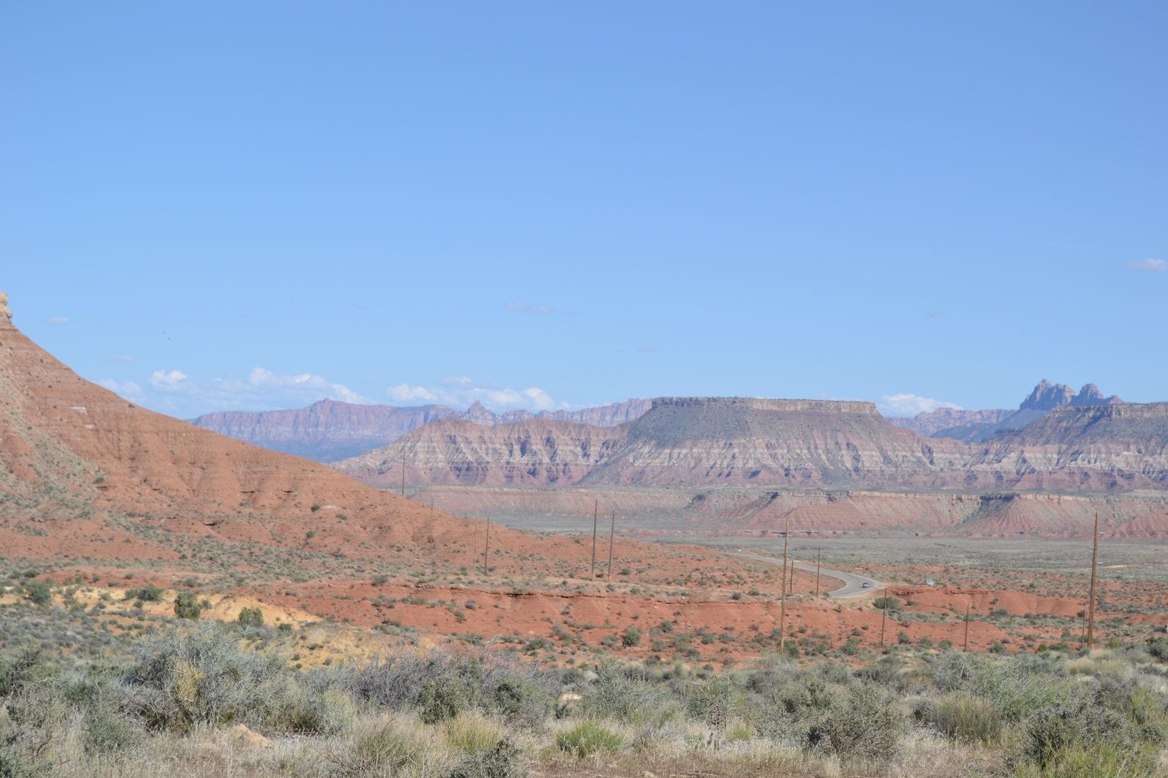
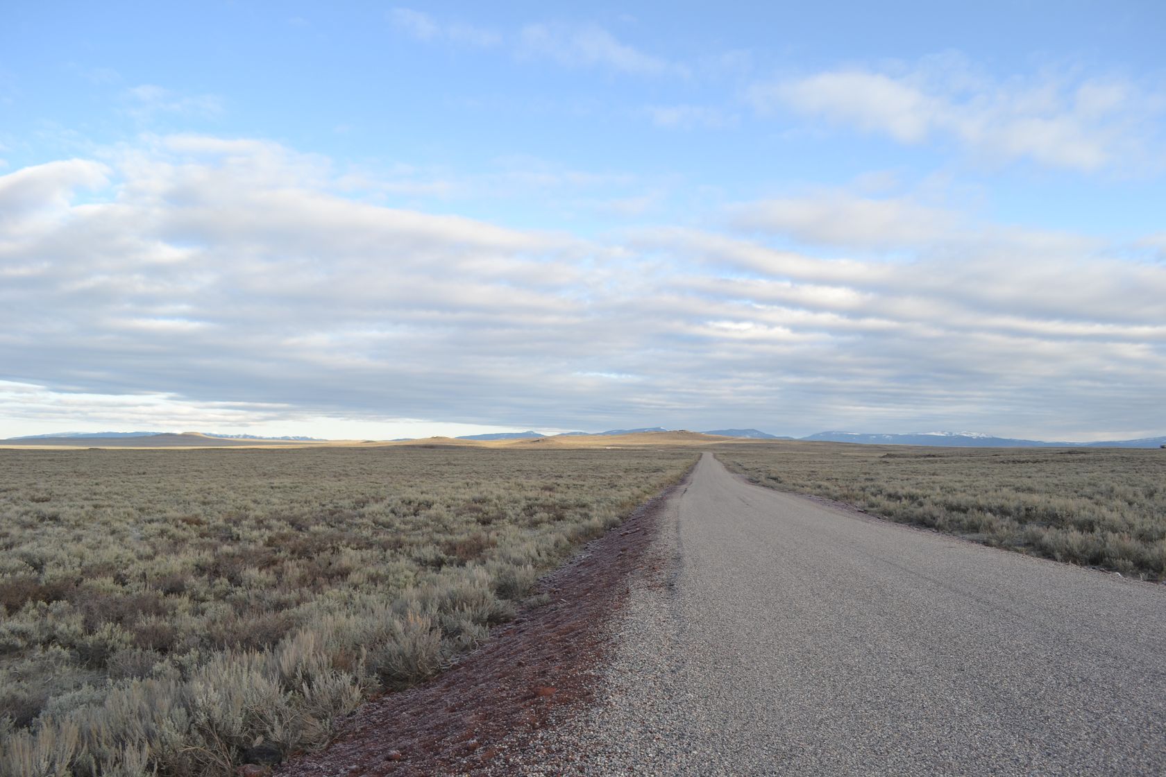
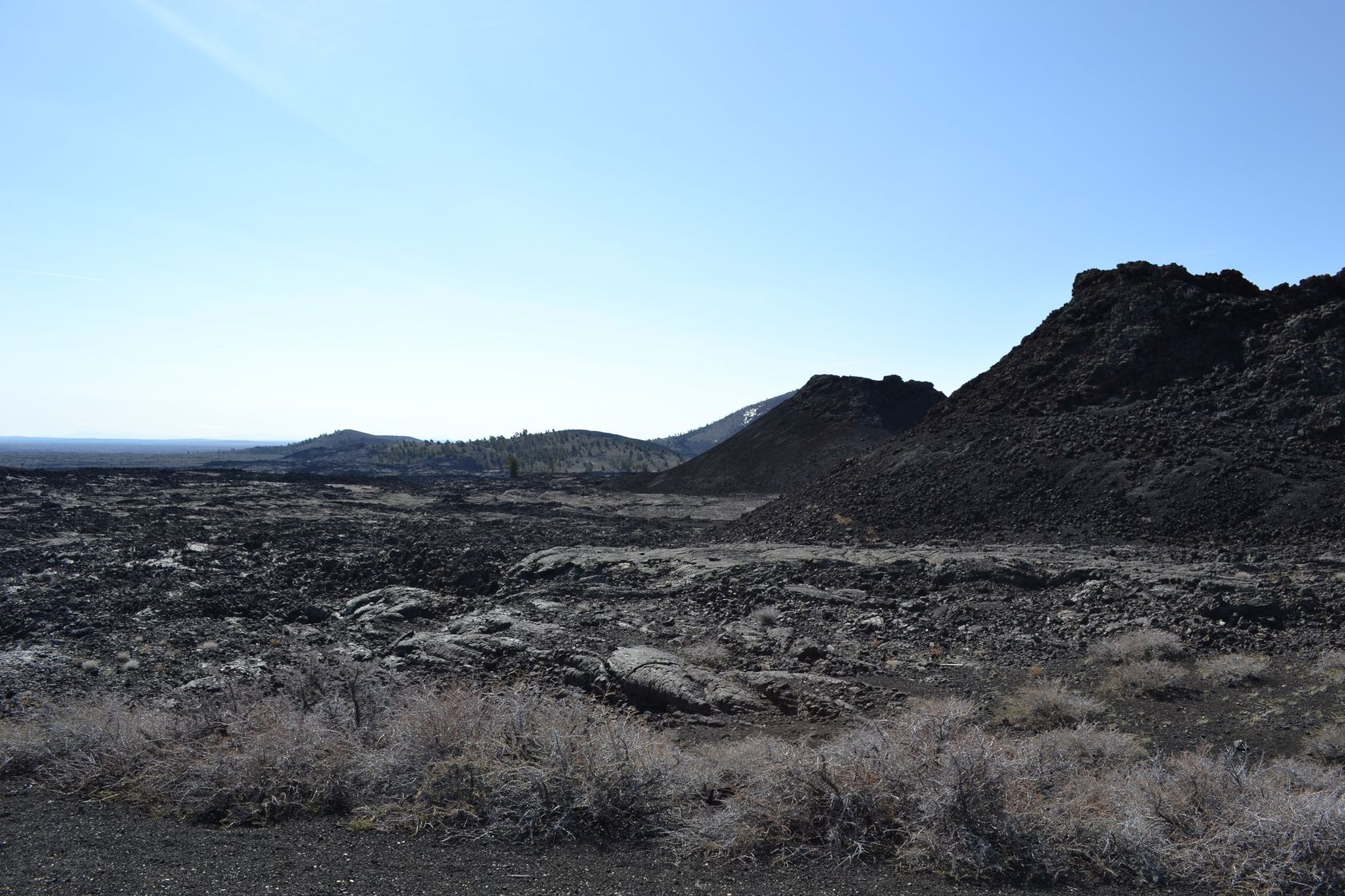
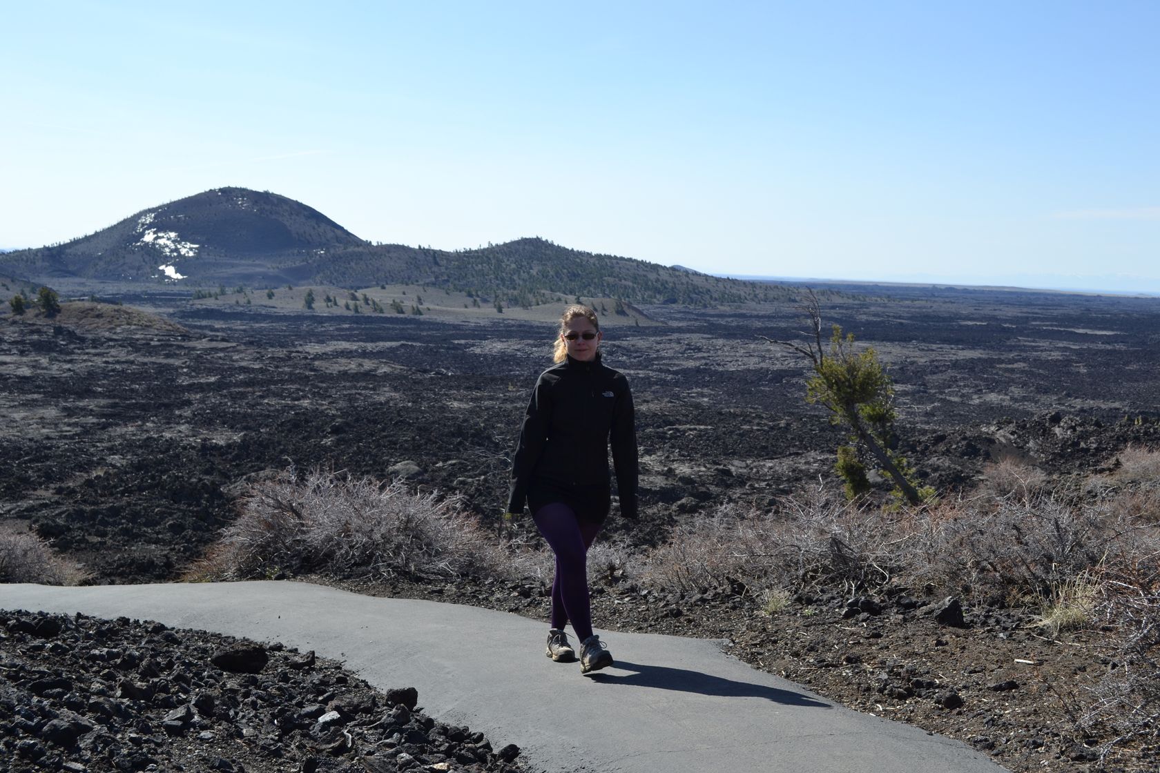
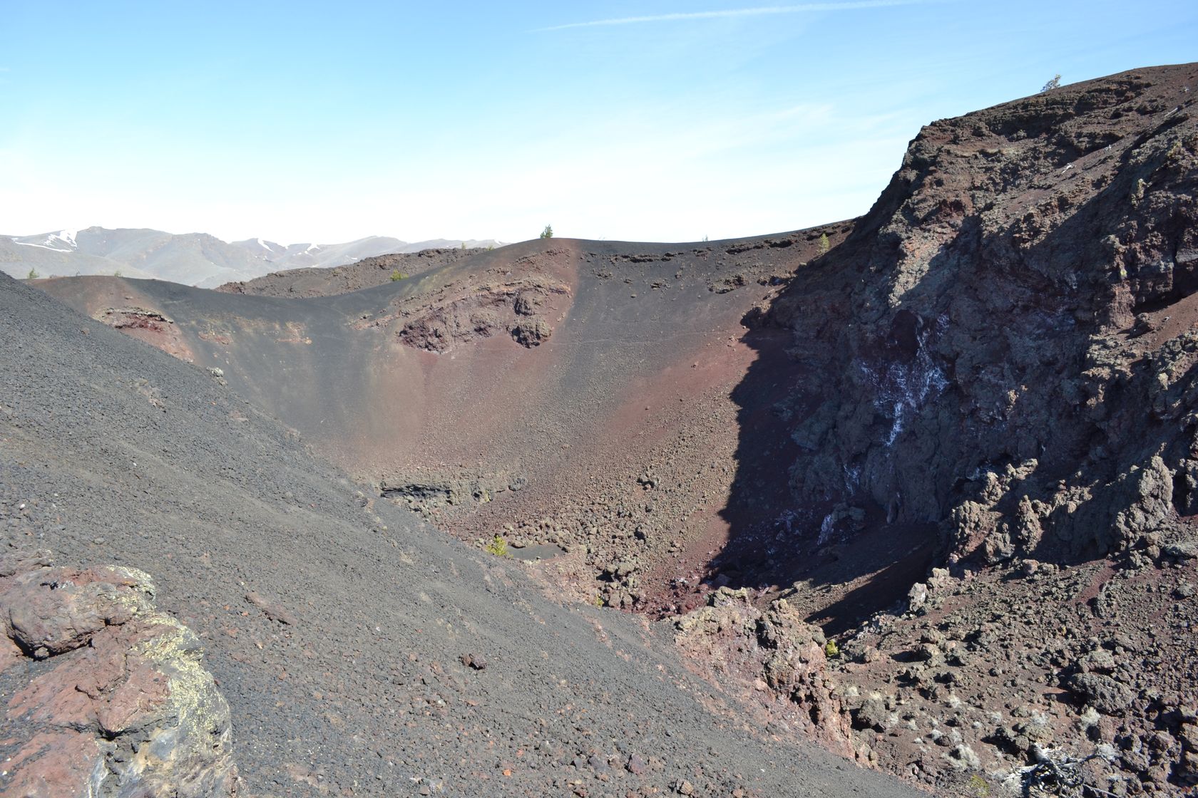
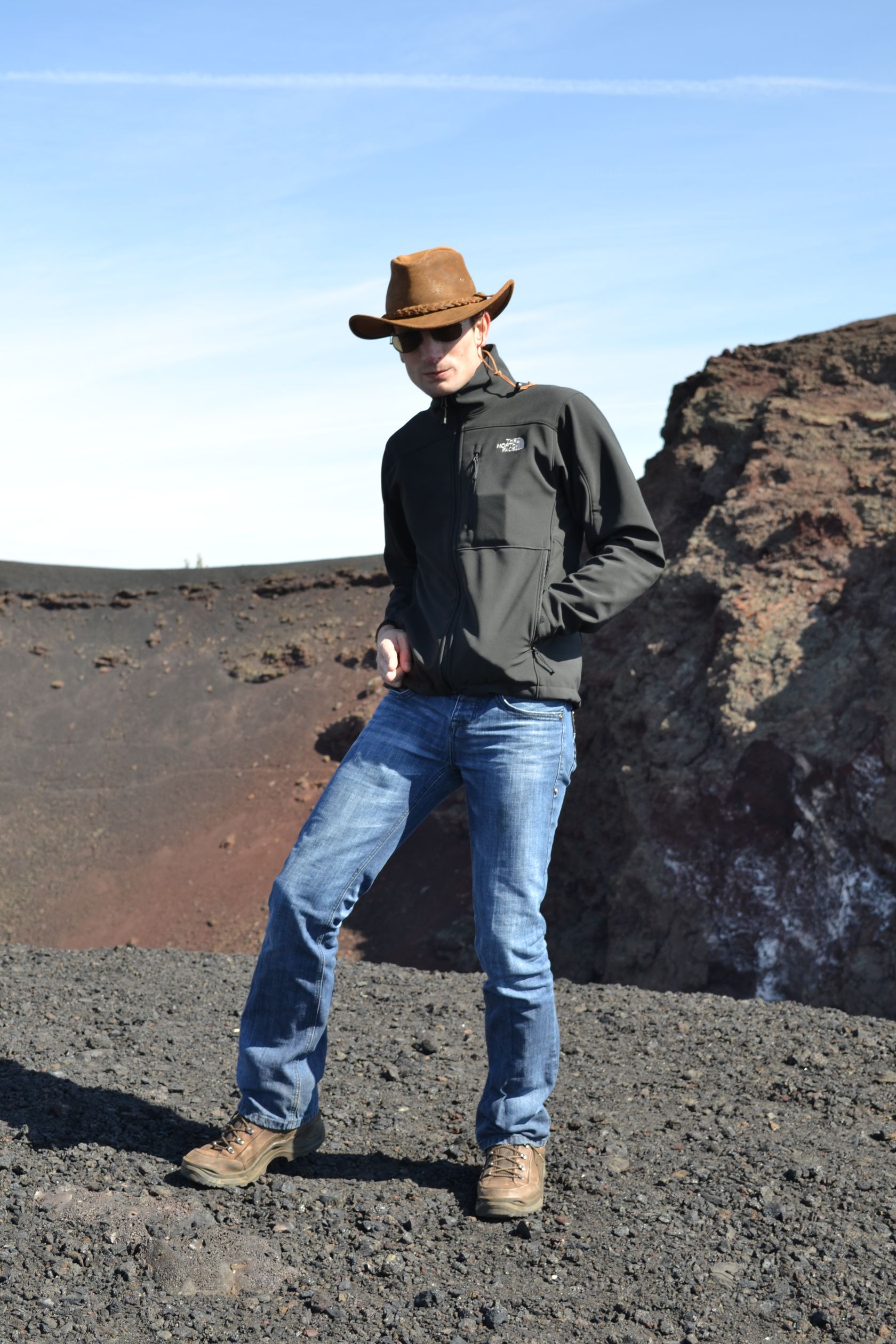
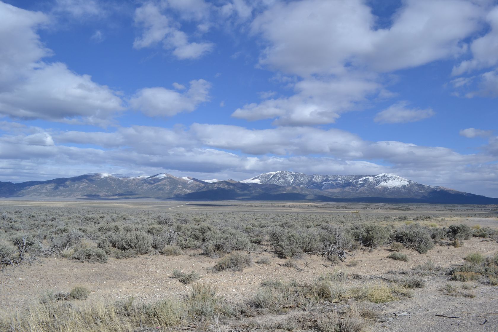
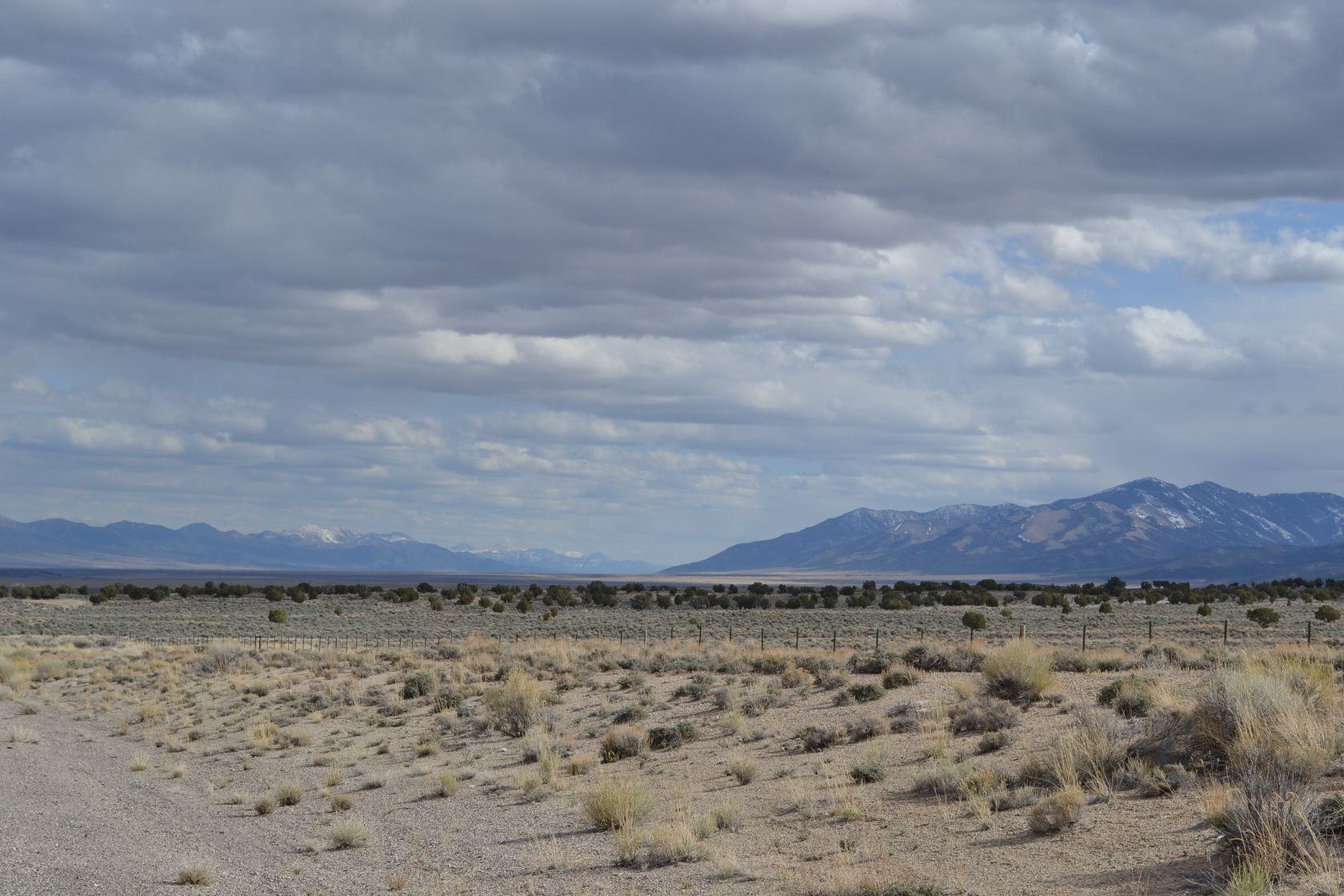
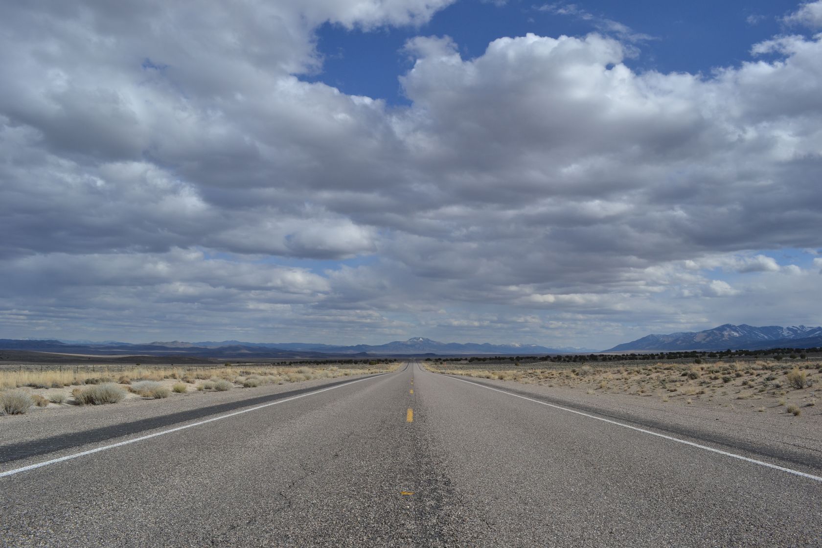
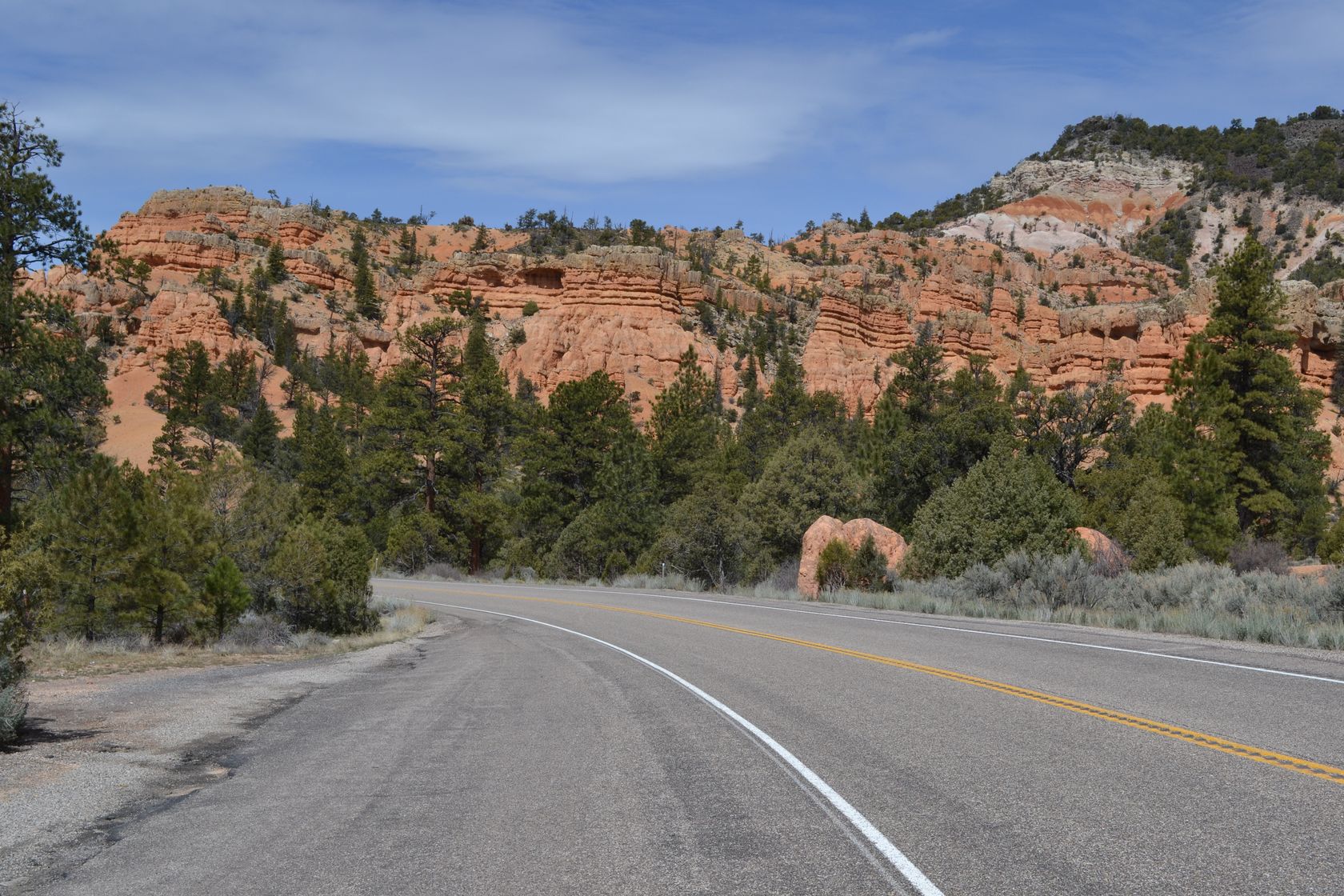
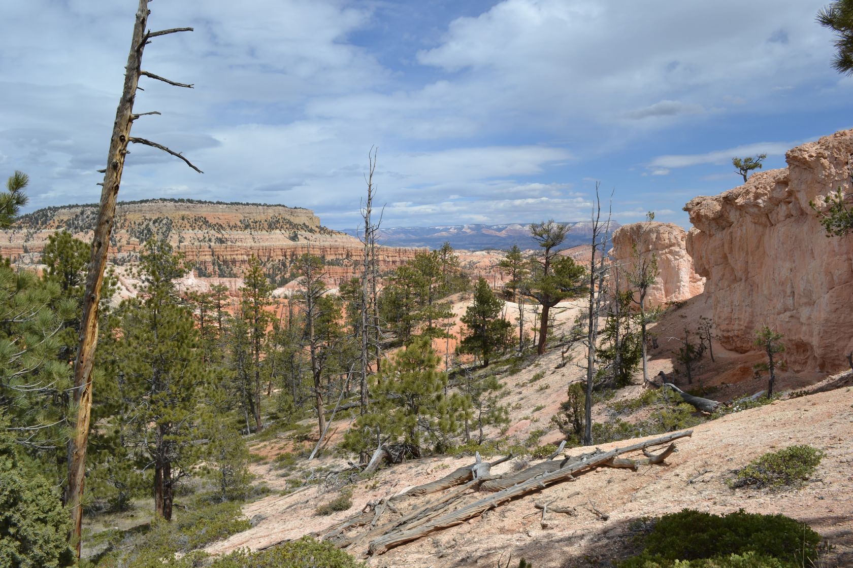
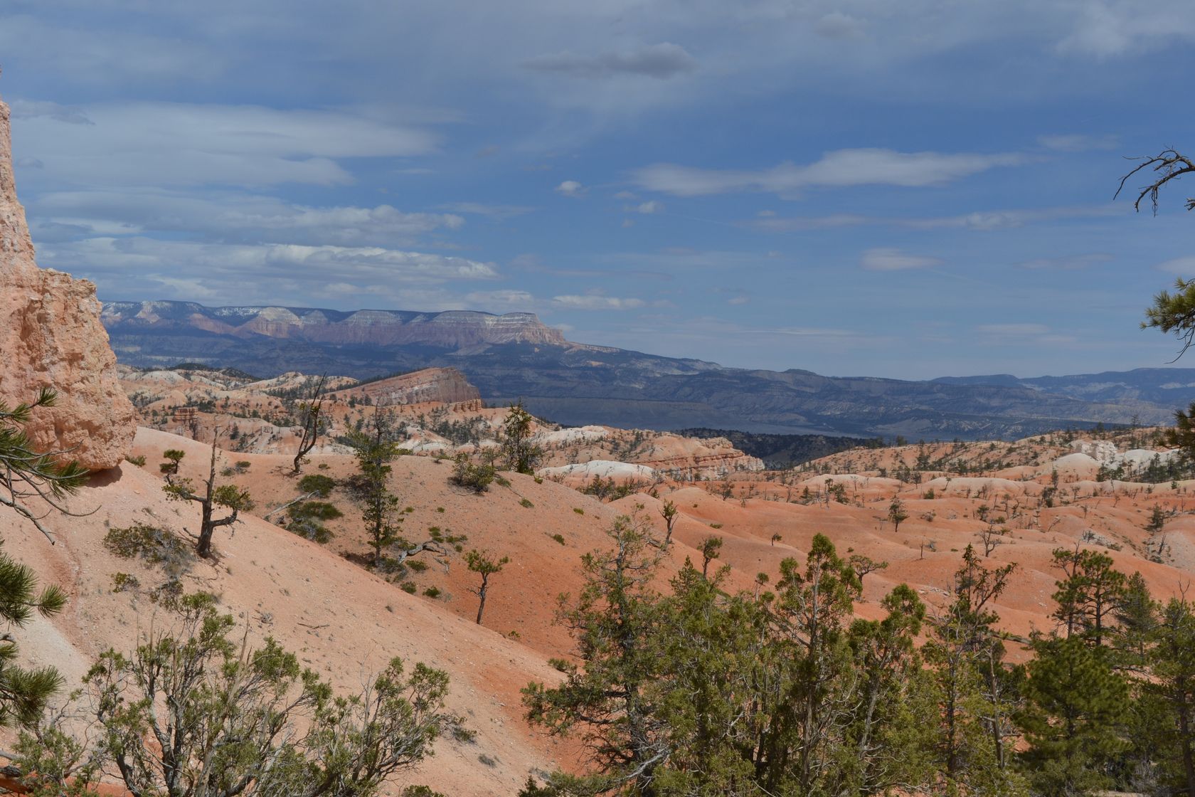
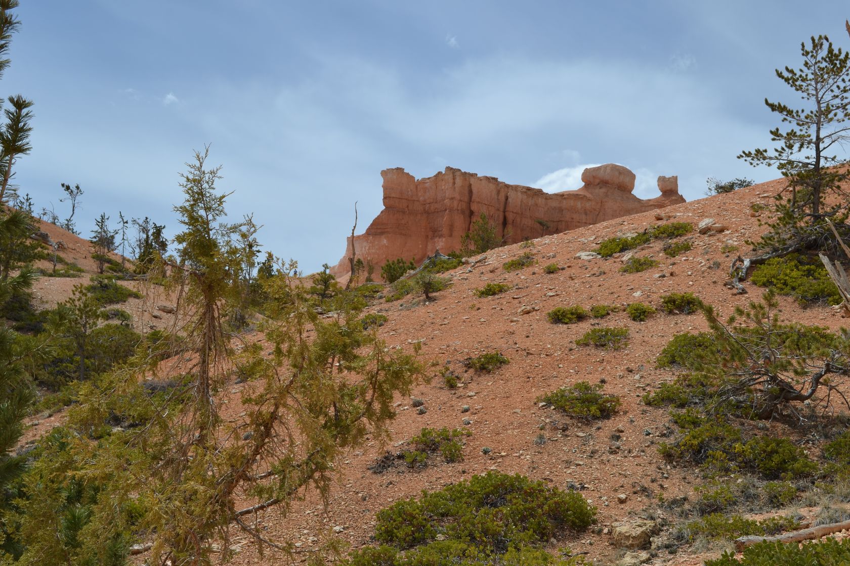
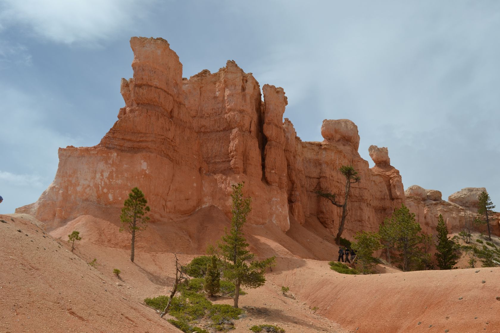
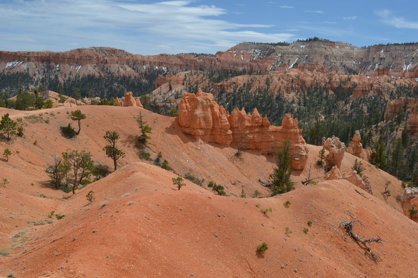
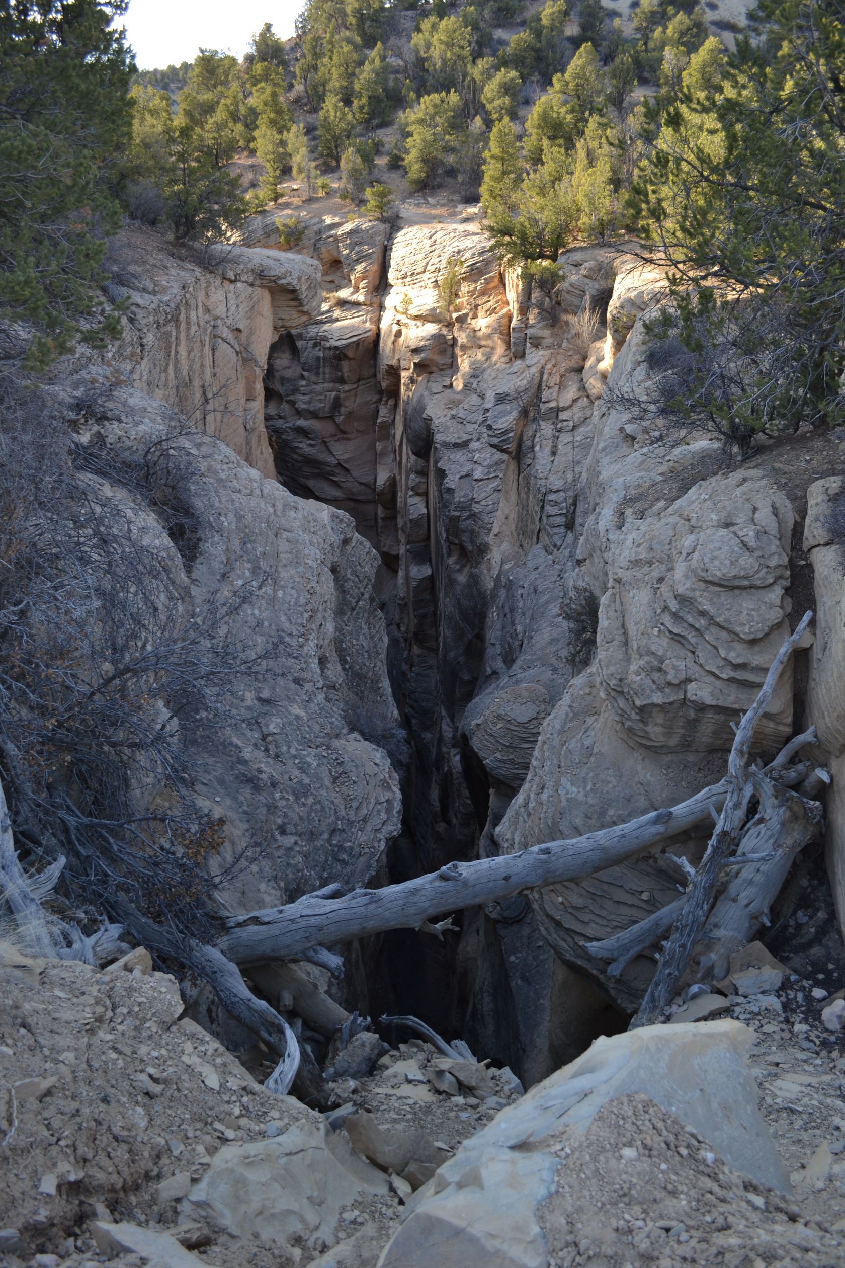
The road toward Bryce canyon leads us through the Red Canyon.

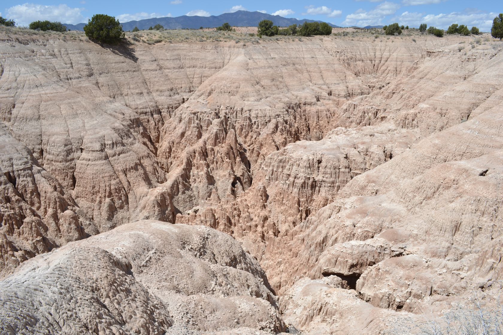
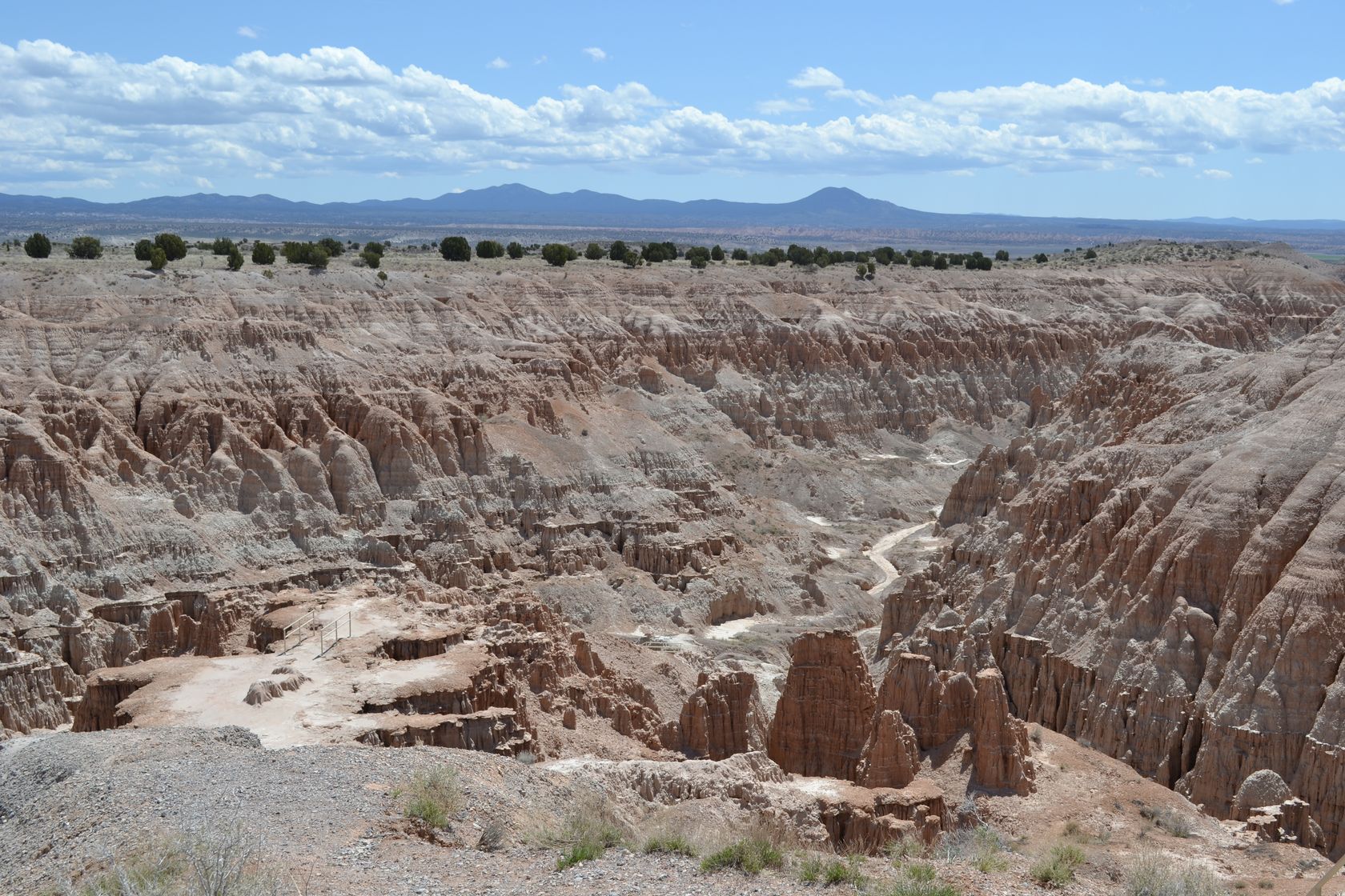
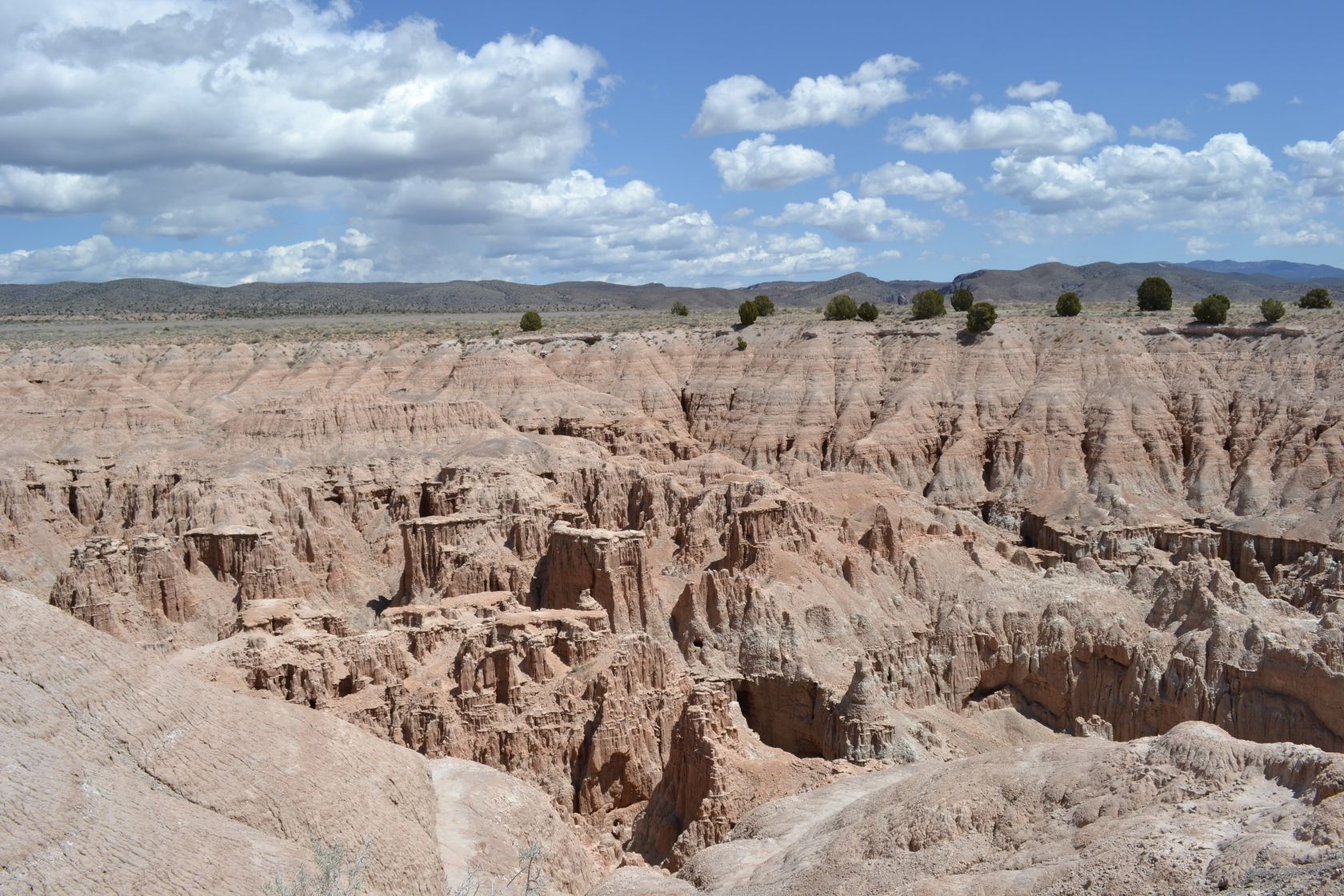
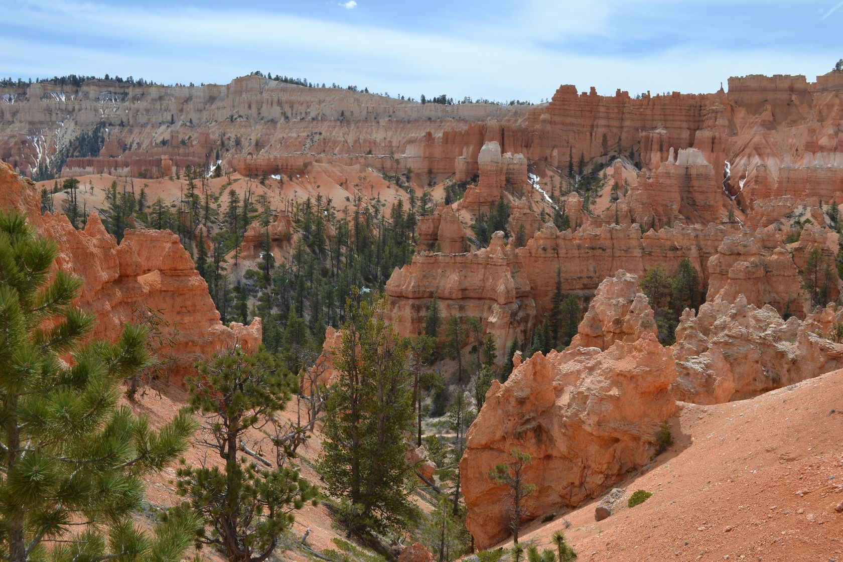
It is almost 12AM when we arrive at Bryce Canyon. Here is the general map of the canyon.

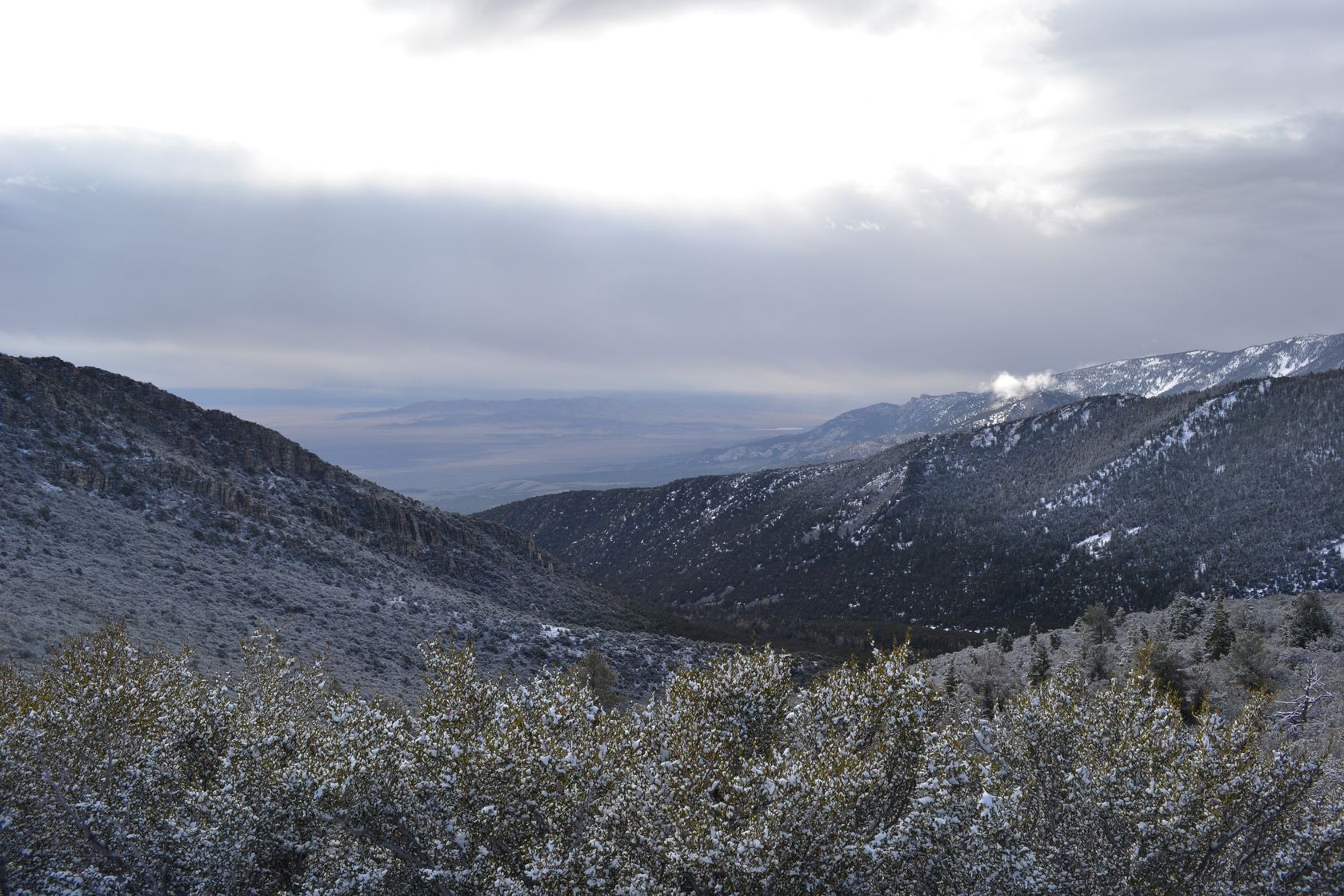
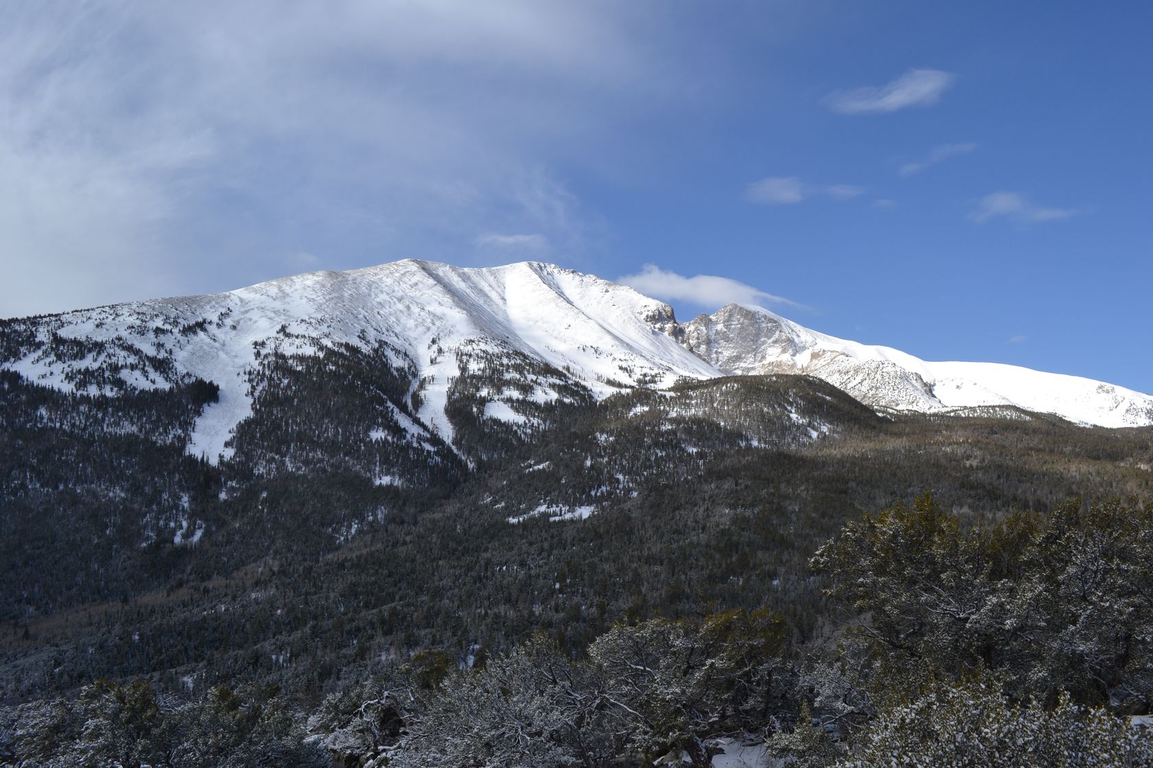
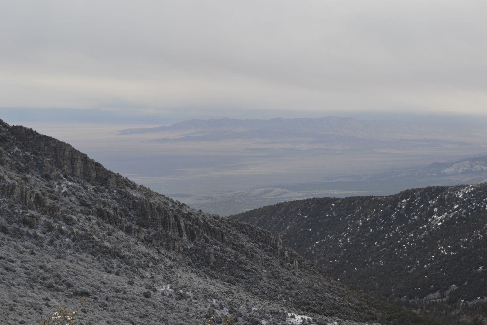
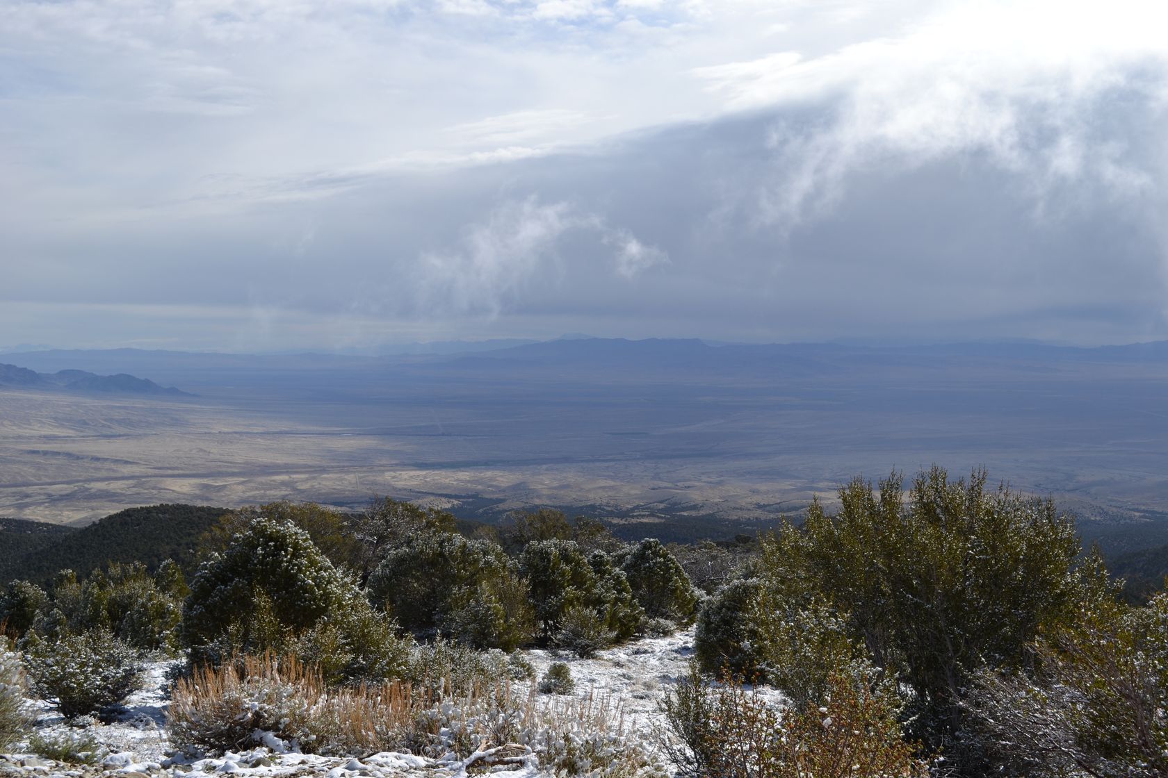
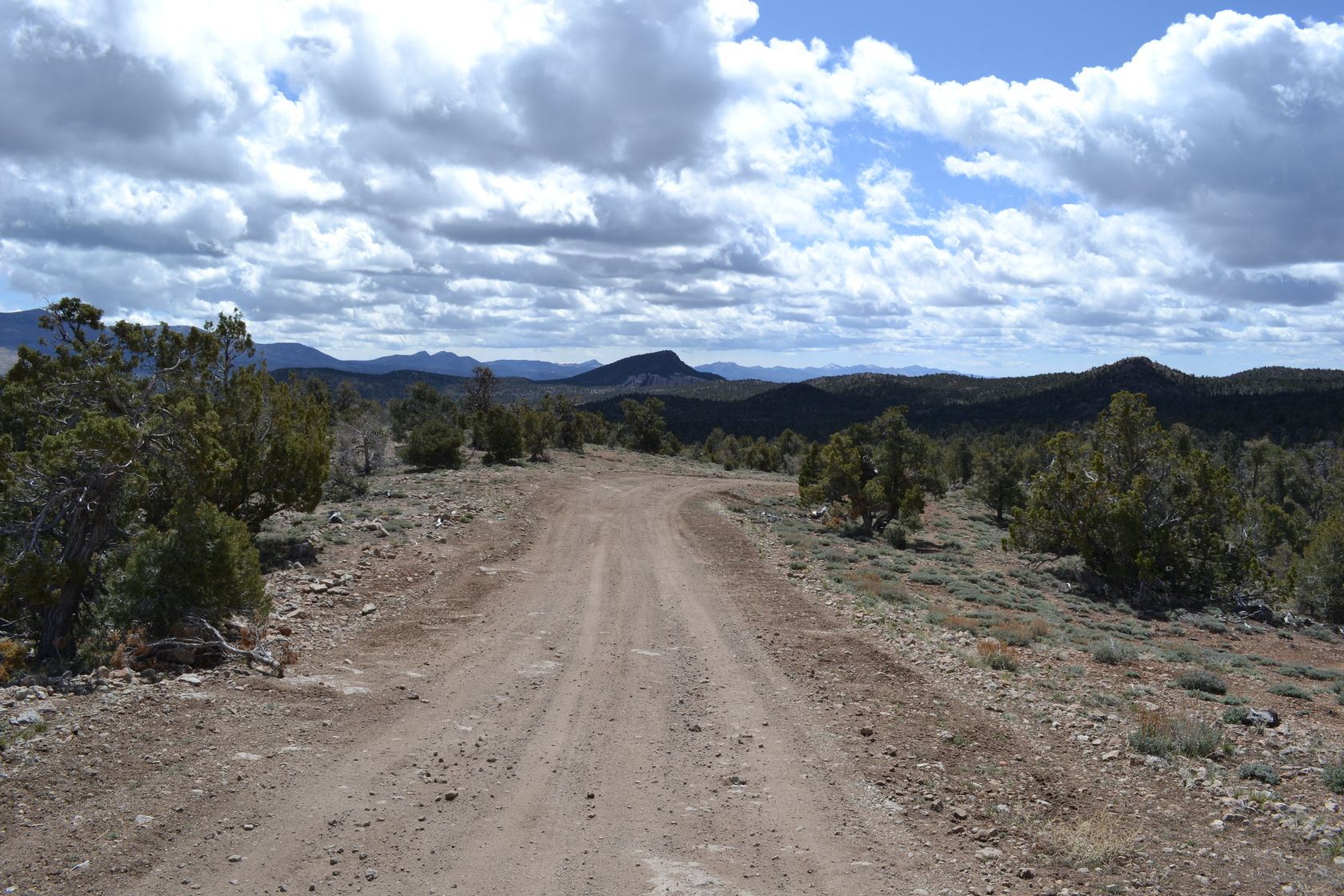
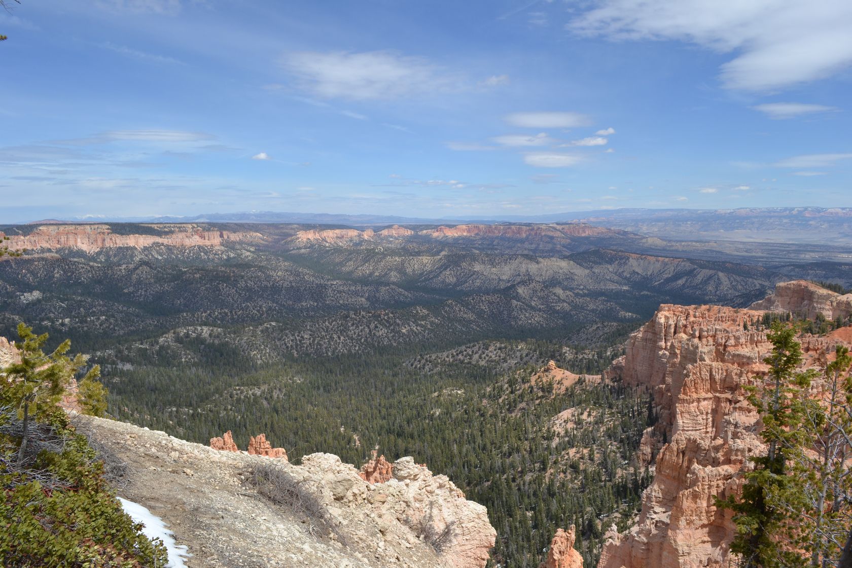
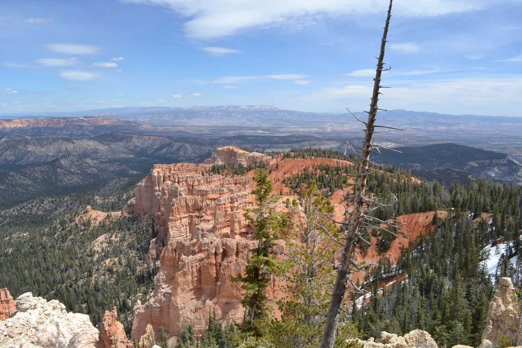
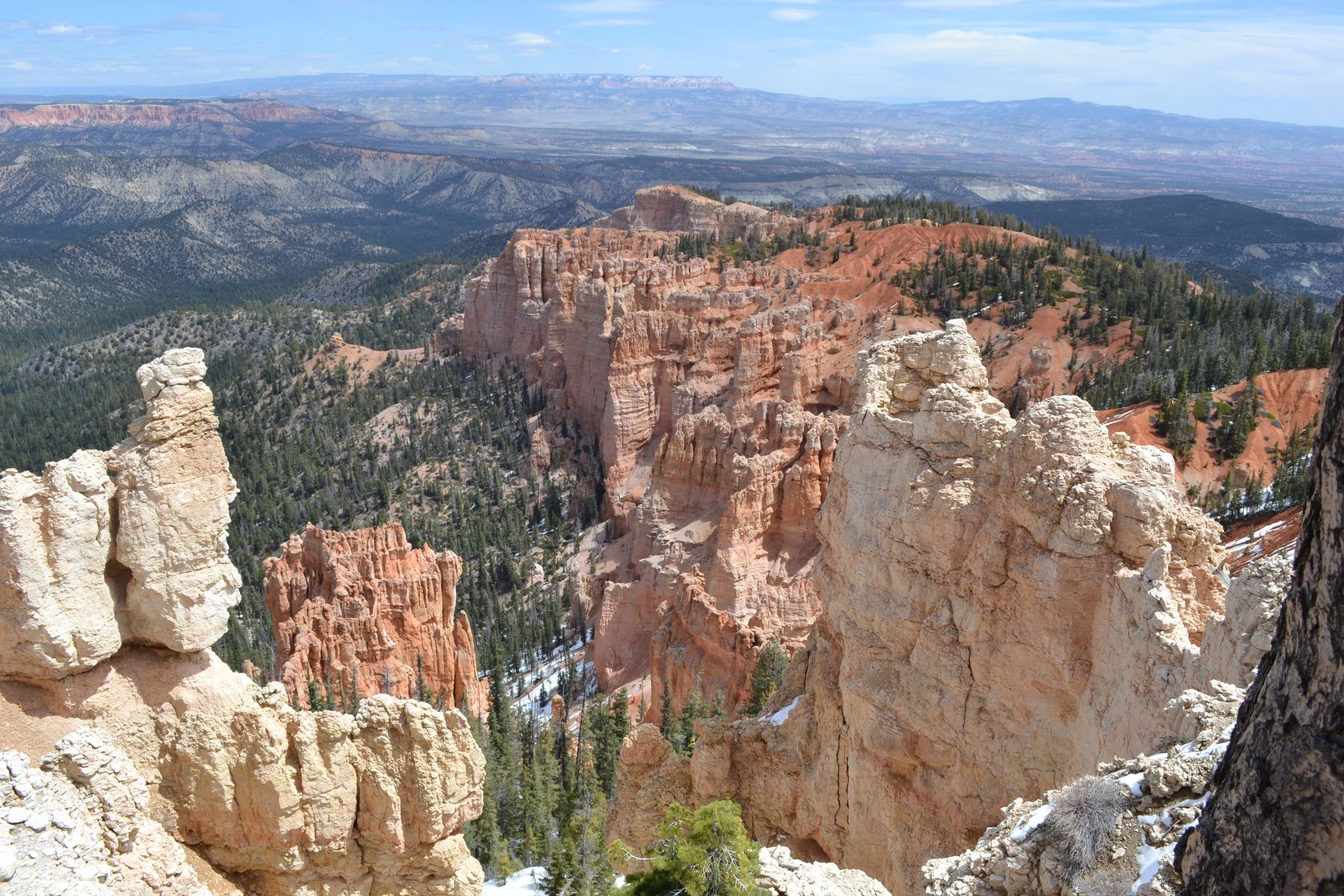
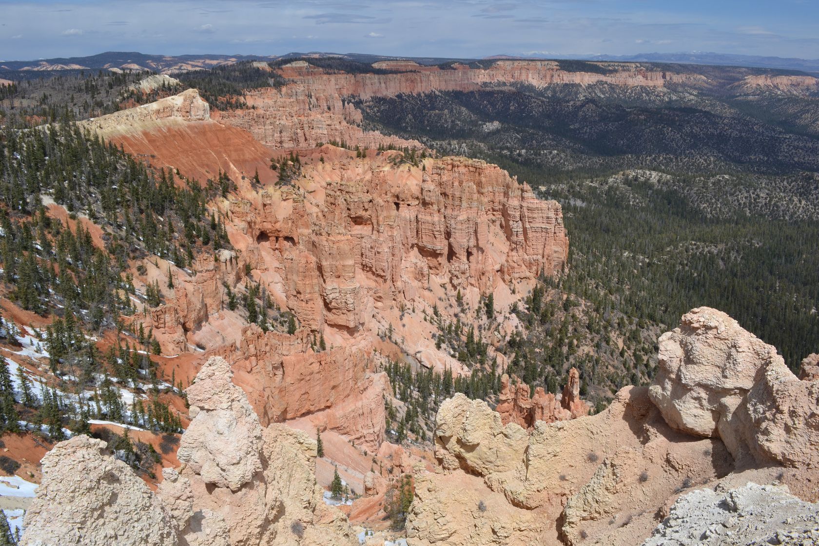
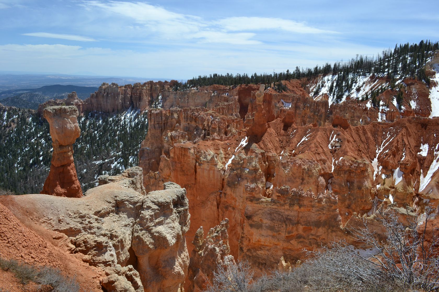
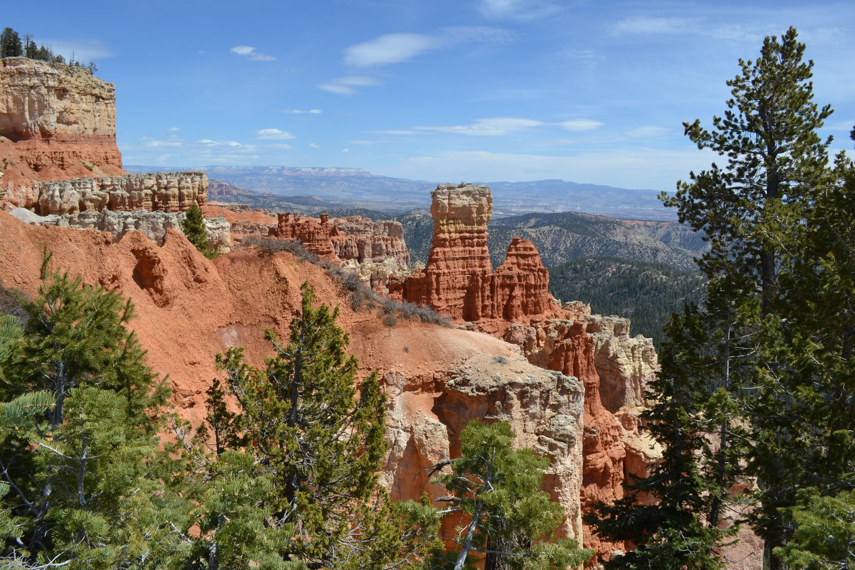
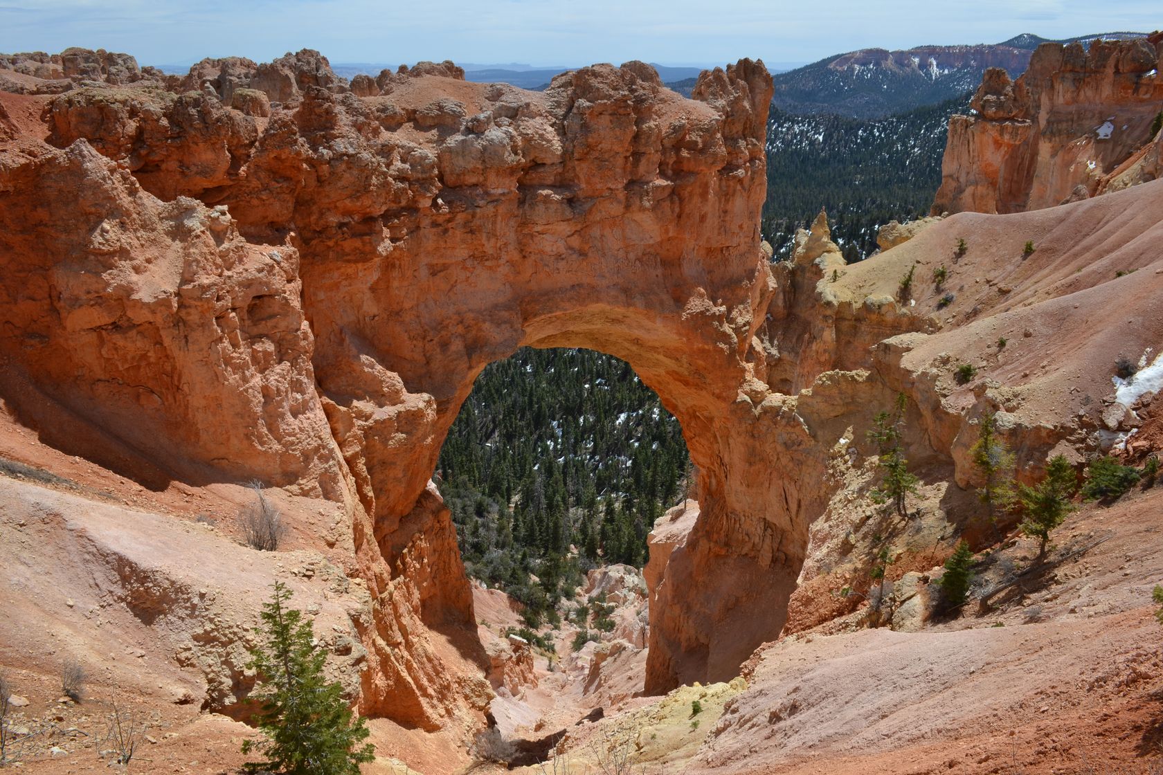
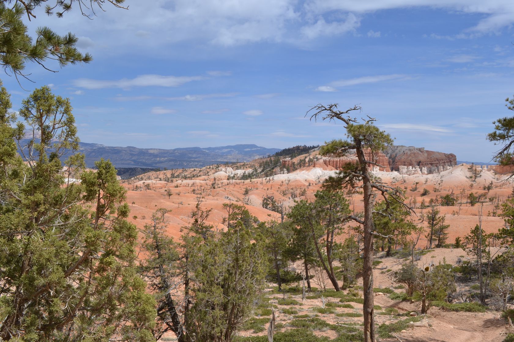
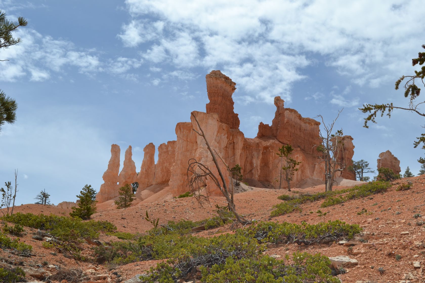
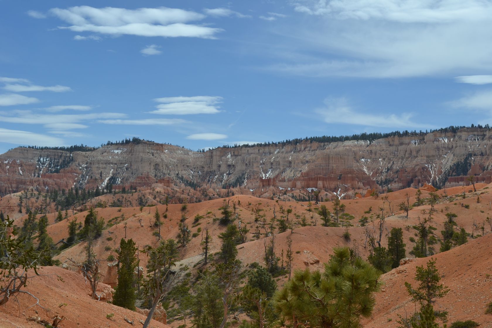
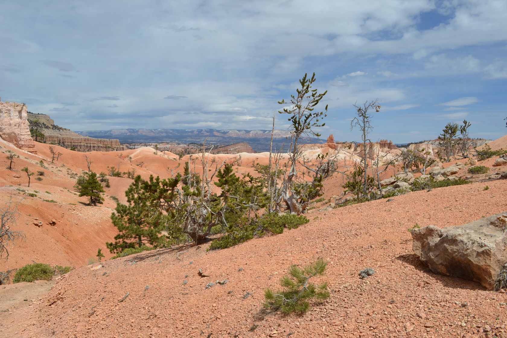
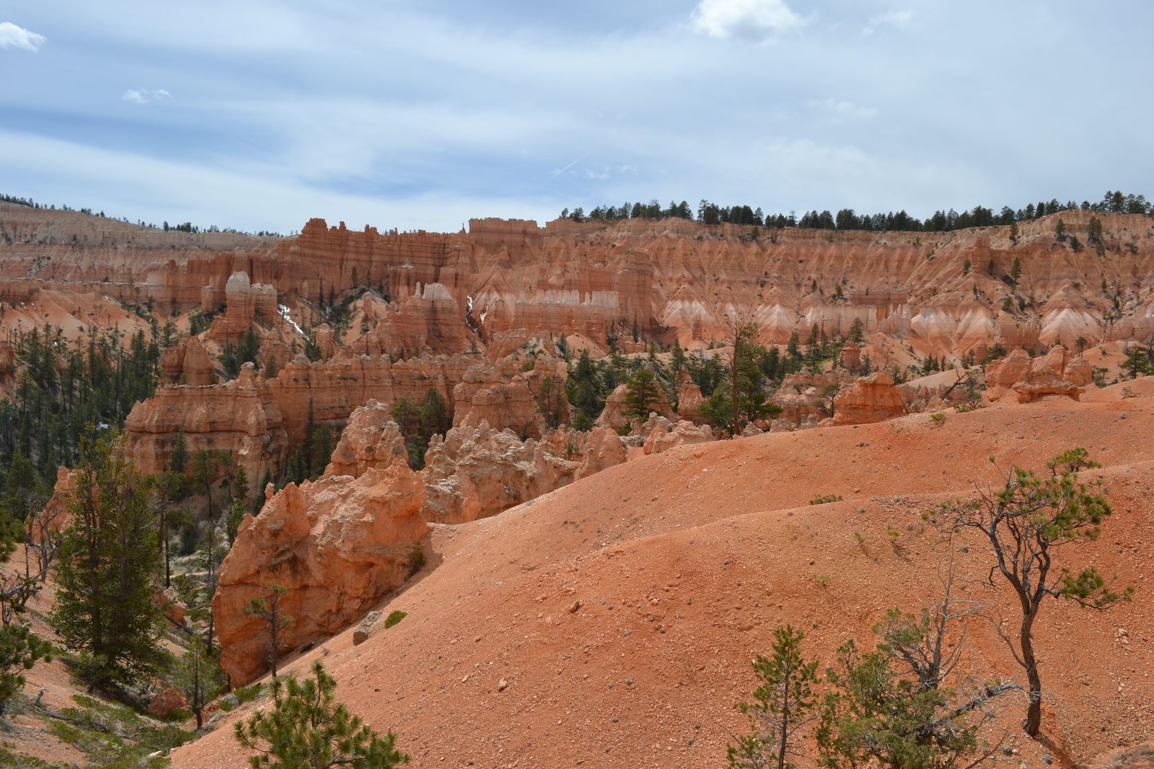
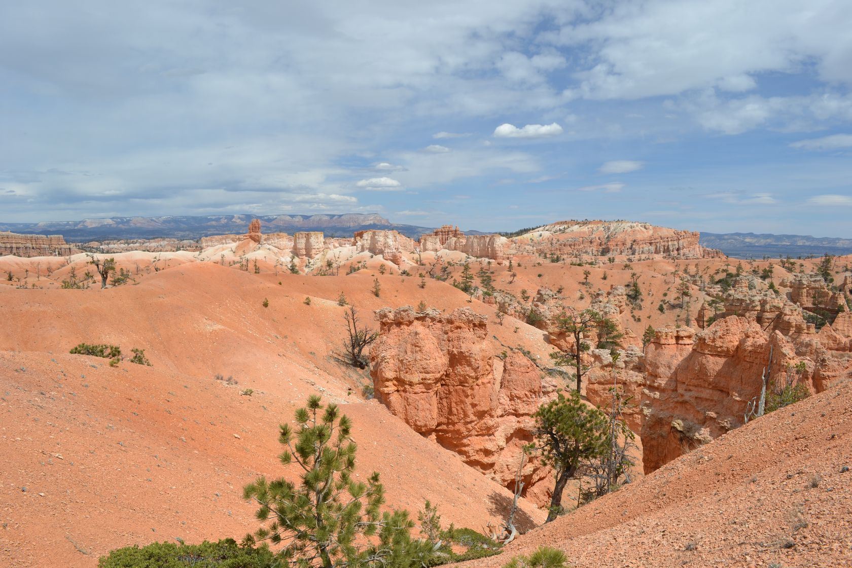
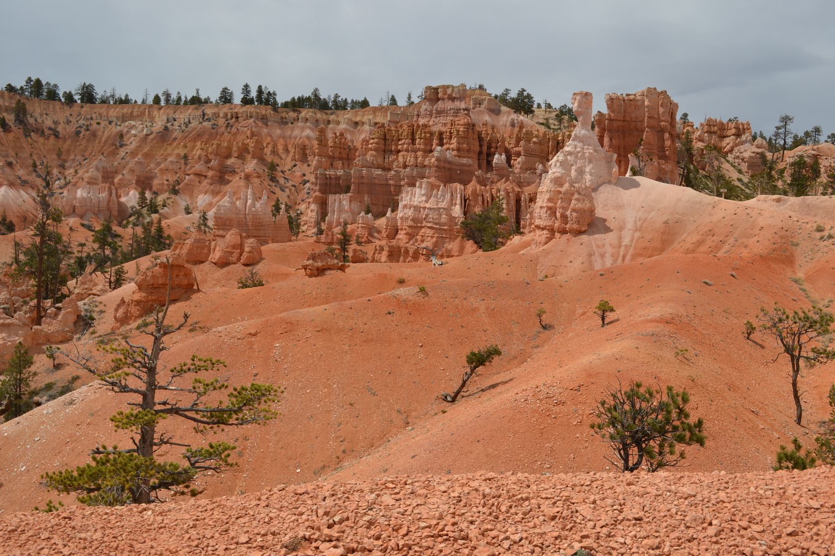
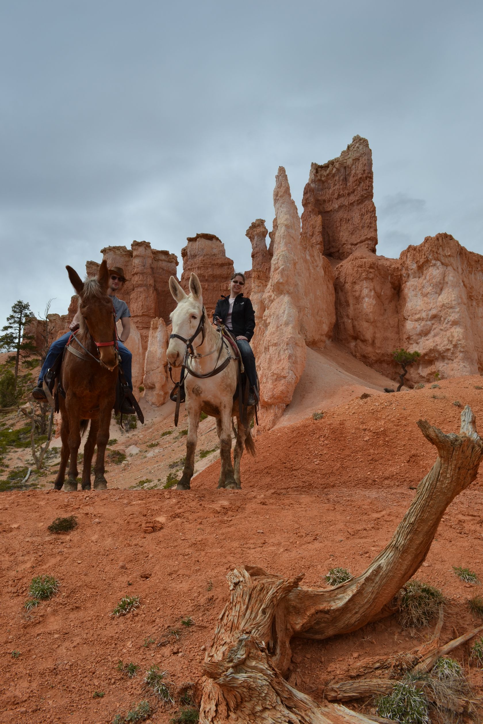
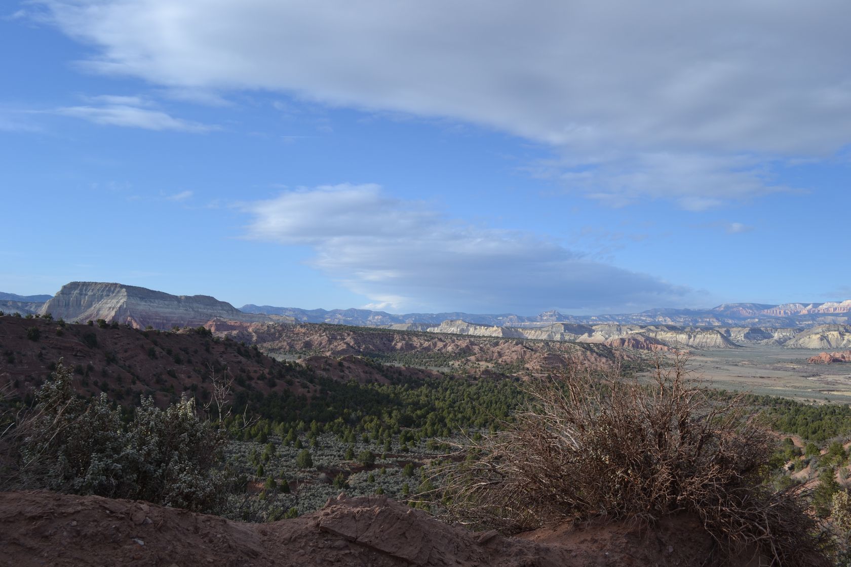
We start by a scenic drive to Rainbow Point, and stop to a few other points on the way back. The drive is well worth it, amazing views of the canyon.

DSC_3321
DSC_3322
DSC_3324
DSC_3325
DSC_3327
DSC_3331
DSC_3332
DSC_3334

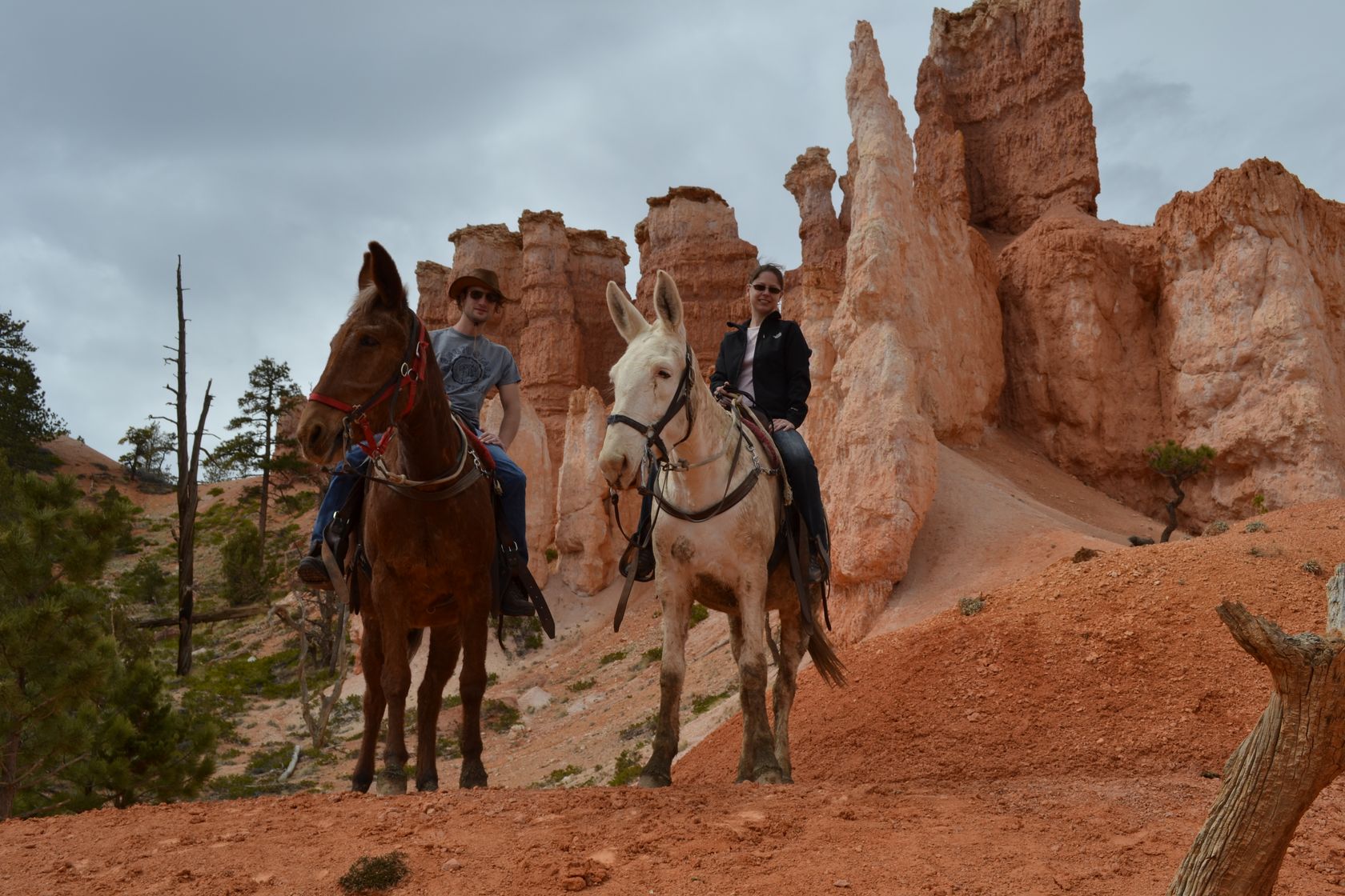
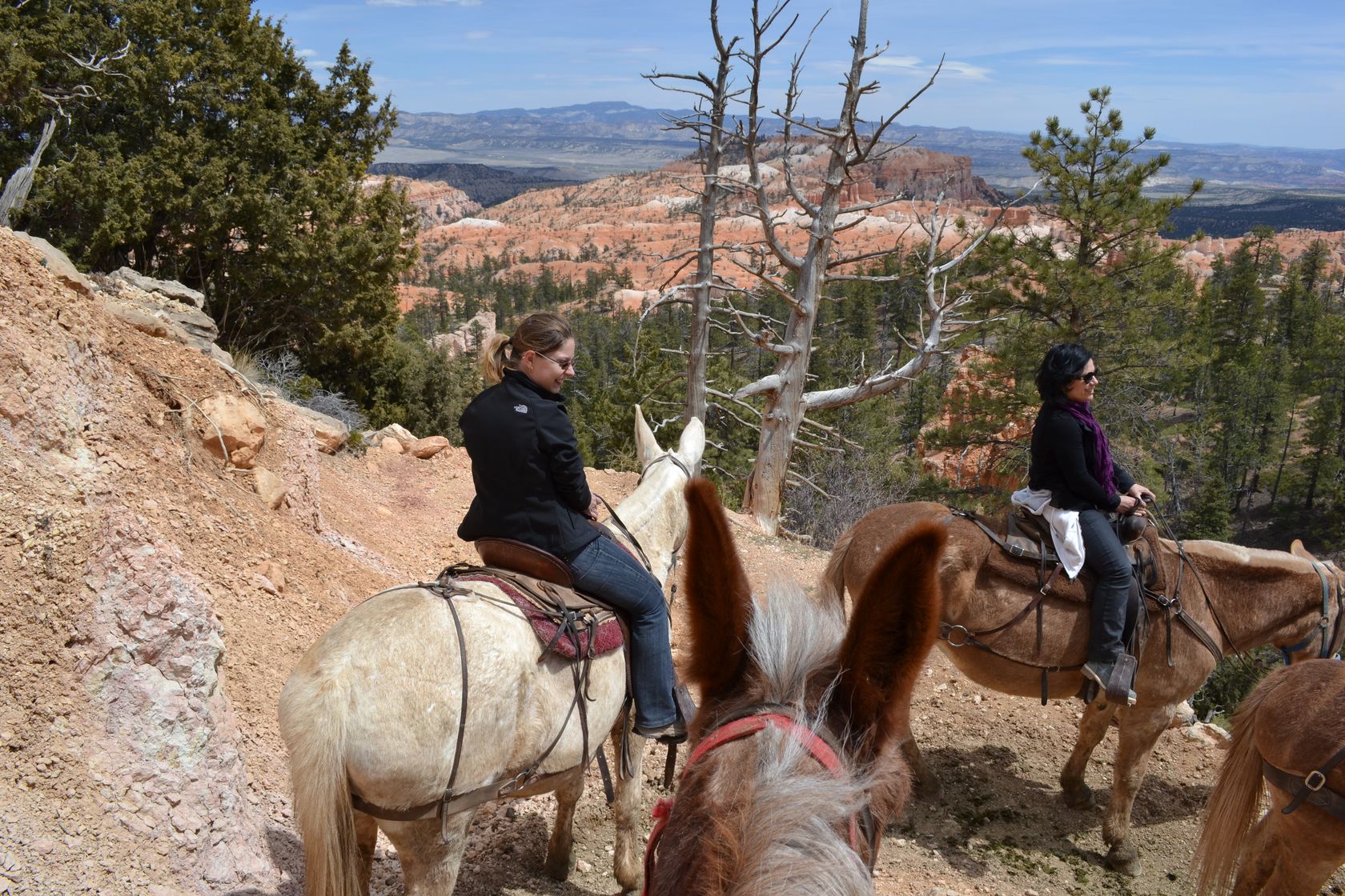
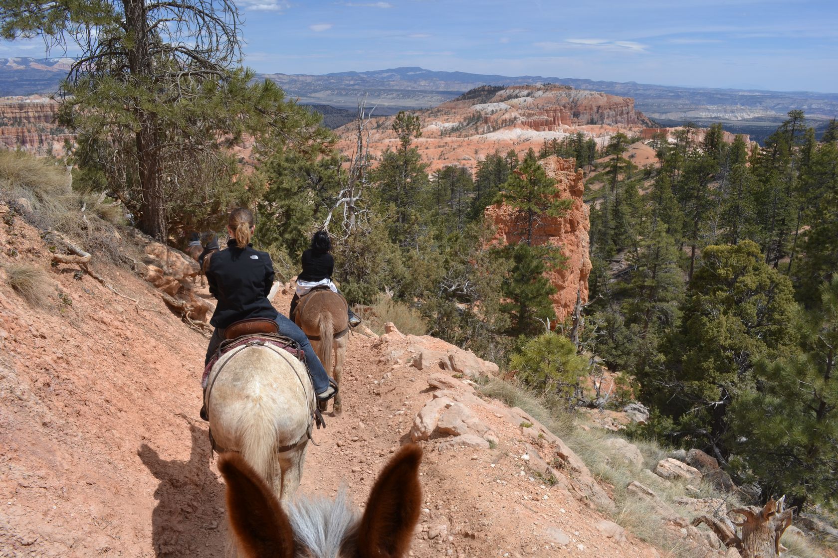
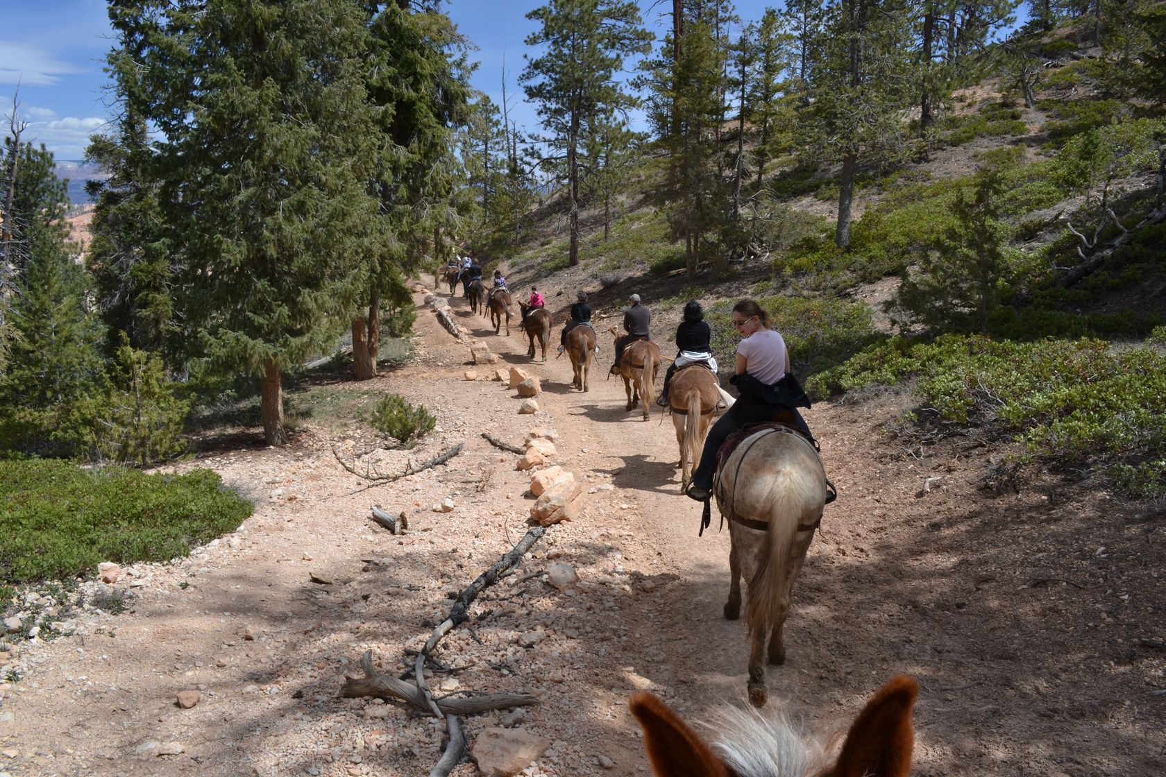
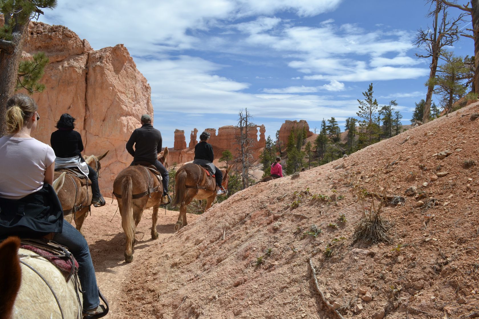
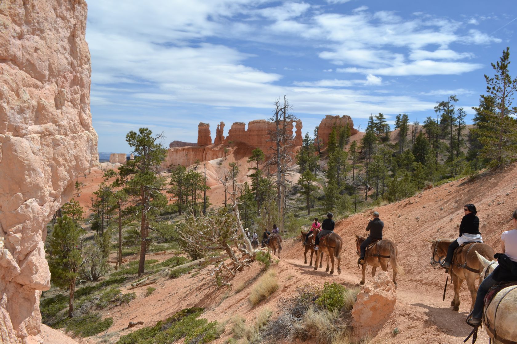
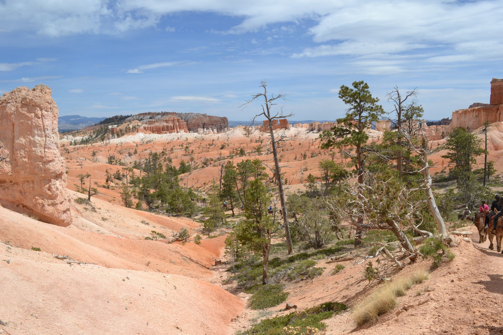
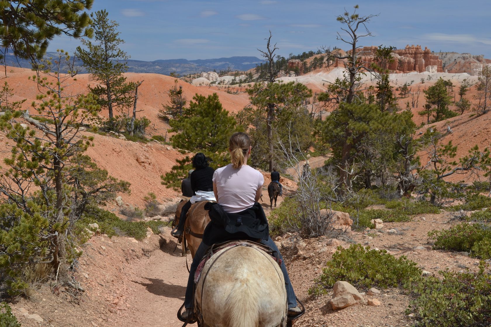
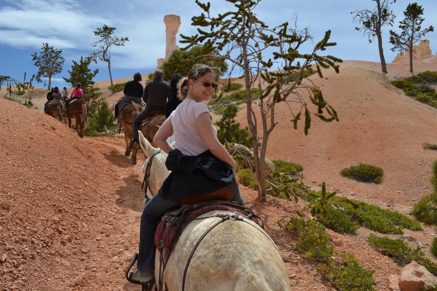
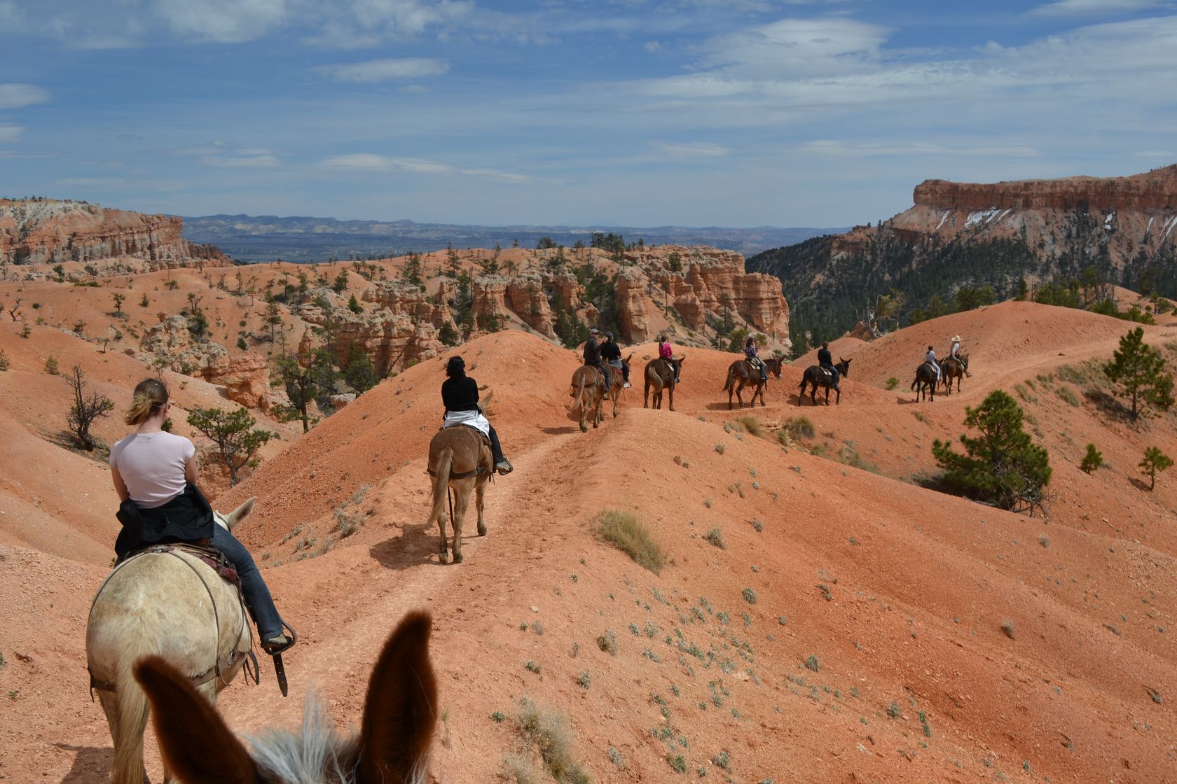
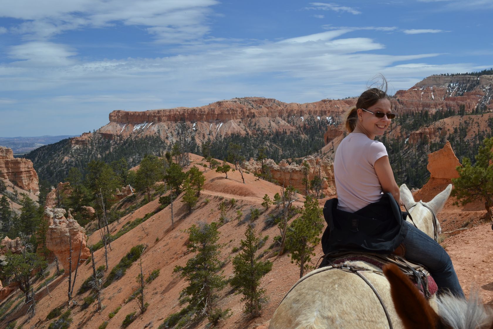
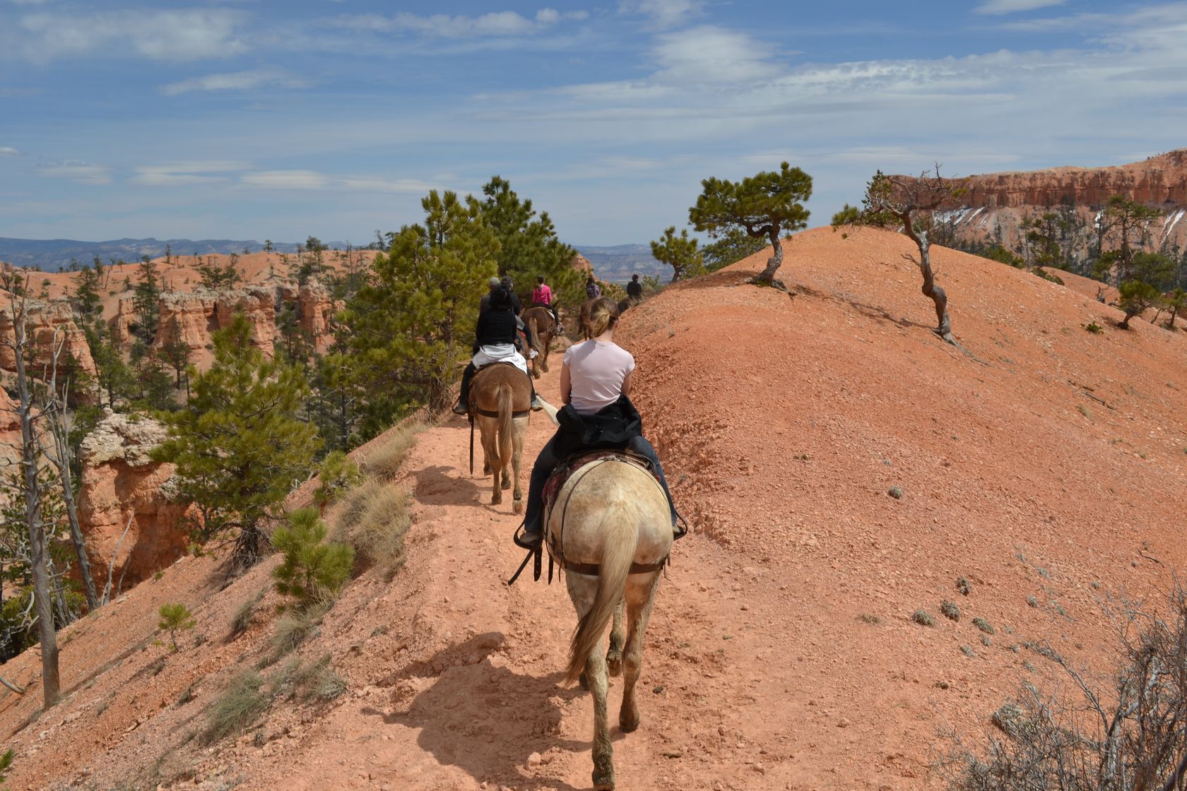
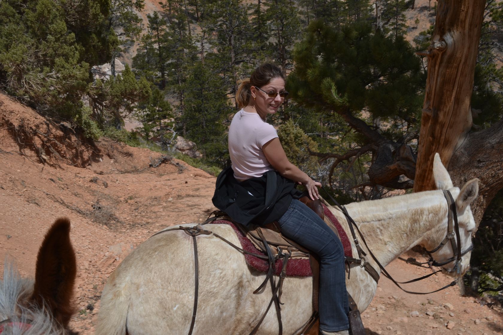
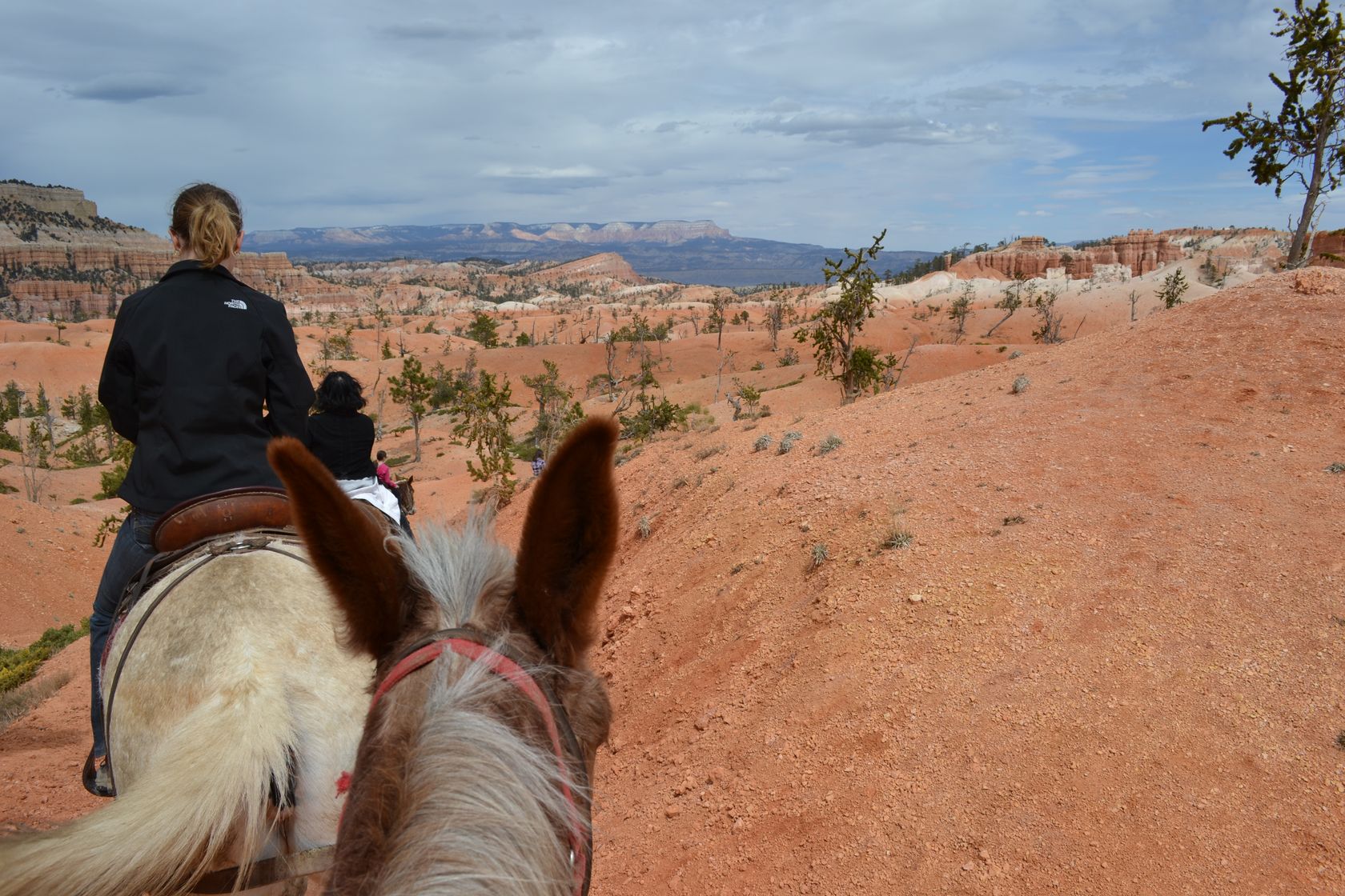
We come back to the Bryce Amphitheater, which is the heart of the canyon, and see that they have horseback tours into the canyon. 20 minutes later we are on horse back…

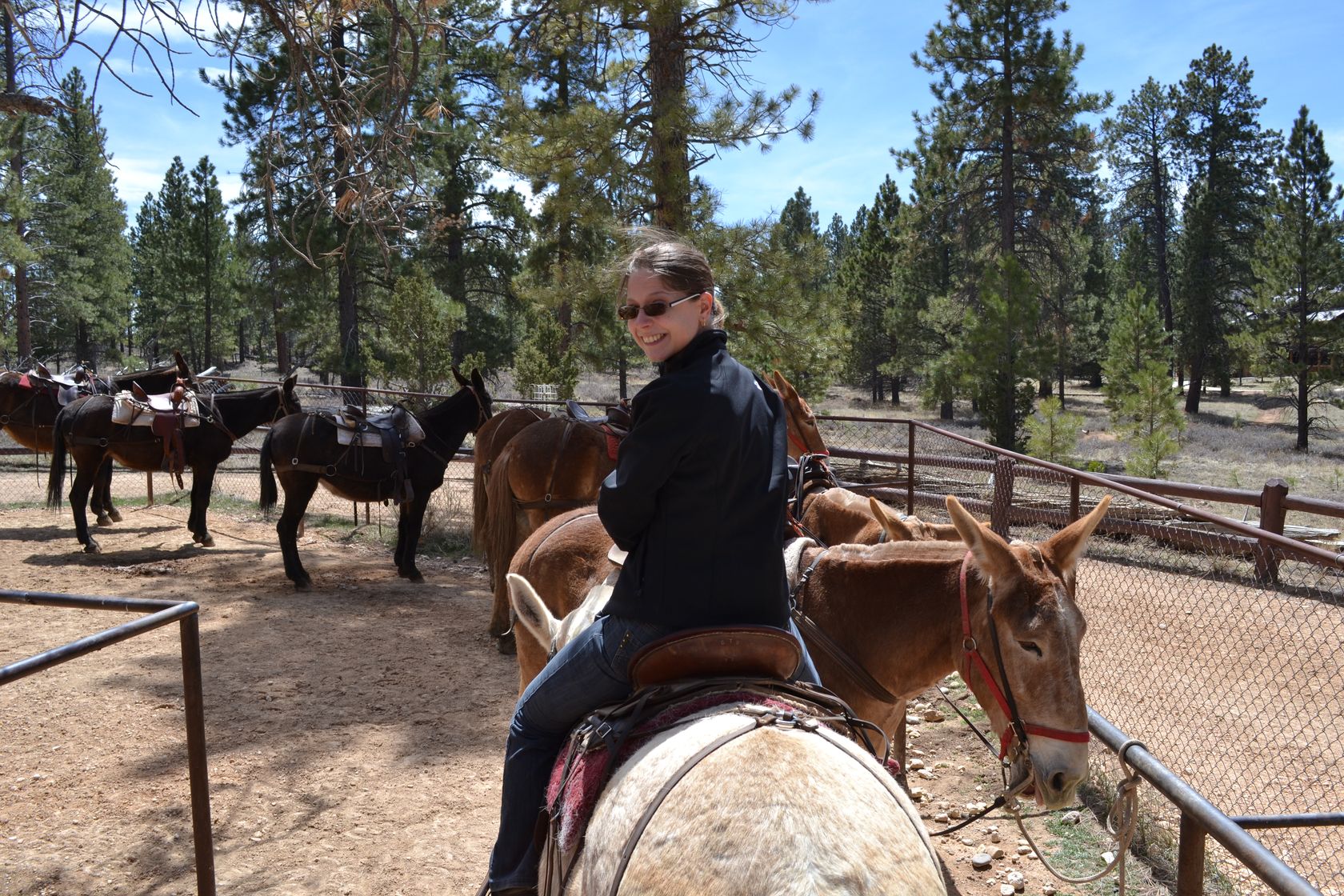
Ok they looks more like mules rather than fine horses… but for a canyon ride maybe it is best, let’s just hope they are not too stuborn! This is gonna be a 2-hours ride, in and out of the canyon along the horse trails. It takes us a few minutes to understand how to make the mules go on, stop or turn, but in the end it was pretty easy. If you accept the fact that the mules always want to go on the gap side of the trail, that’s a very pleasant way to travel… And so less tiring than doing the whole hike on our own!

DSC_3340
DSC_3342
DSC_3344
DSC_3346
DSC_3348
DSC_3349
DSC_3350
DSC_3351
DSC_3352
DSC_3353
DSC_3354
DSC_3355
DSC_3356
DSC_3357
DSC_3358
DSC_3359
DSC_3360
DSC_3362
DSC_3363
DSC_3364
DSC_3365
DSC_3366
DSC_3367
DSC_3368
DSC_3369
DSC_3372
DSC_3373
DSC_3376
DSC_3377
DSC_3378

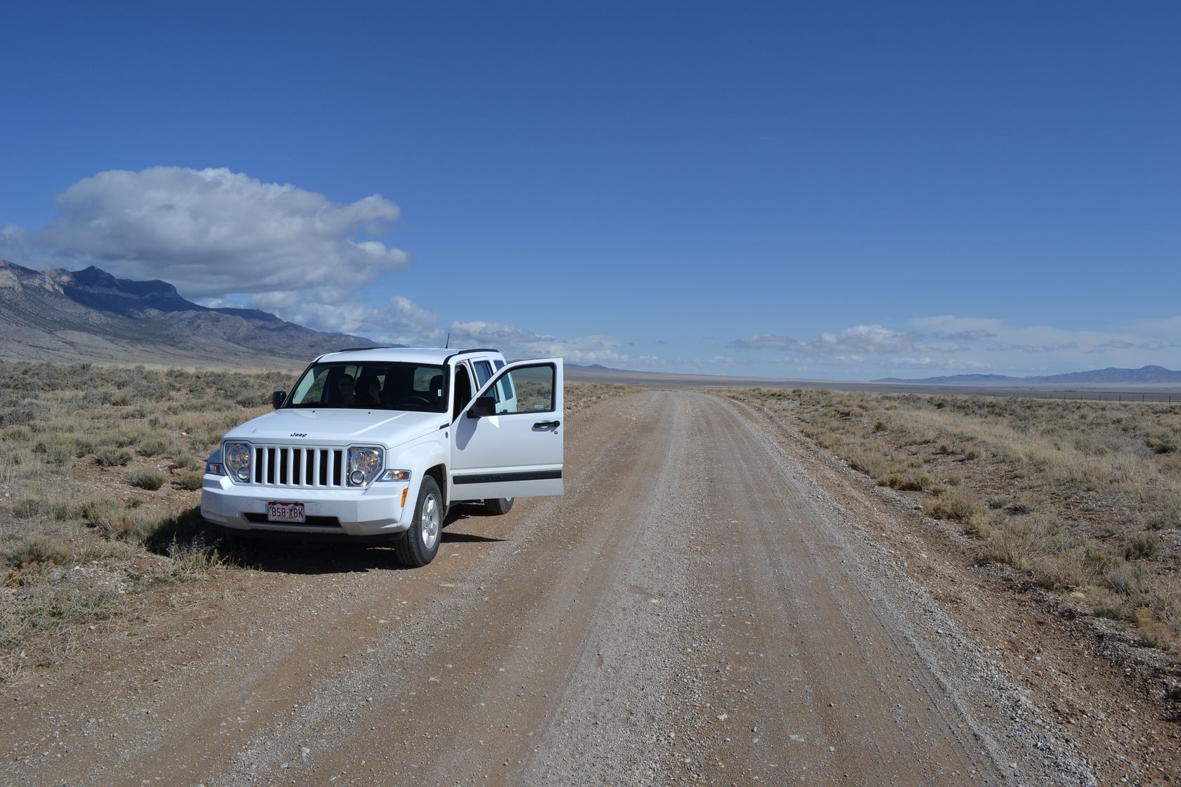
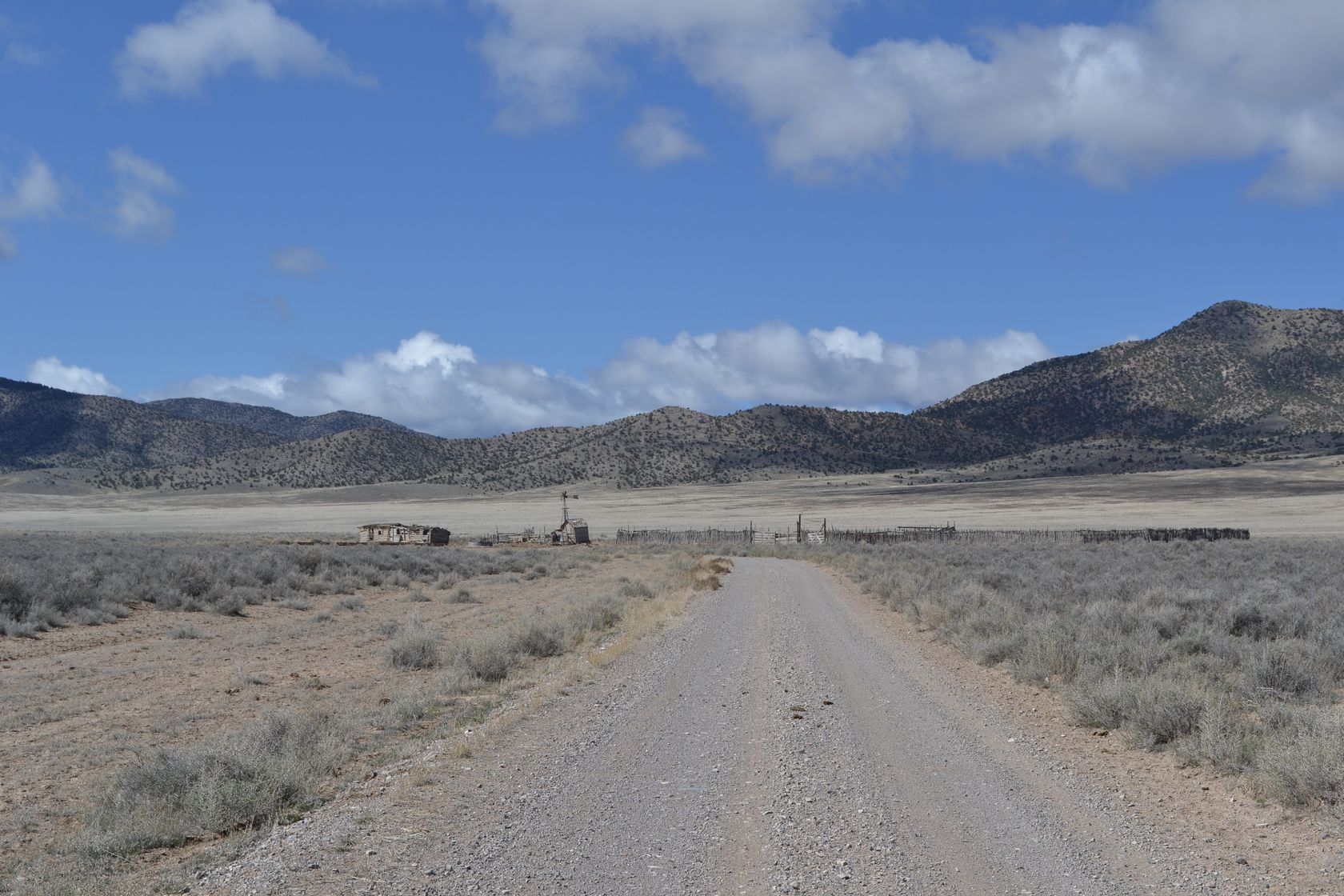
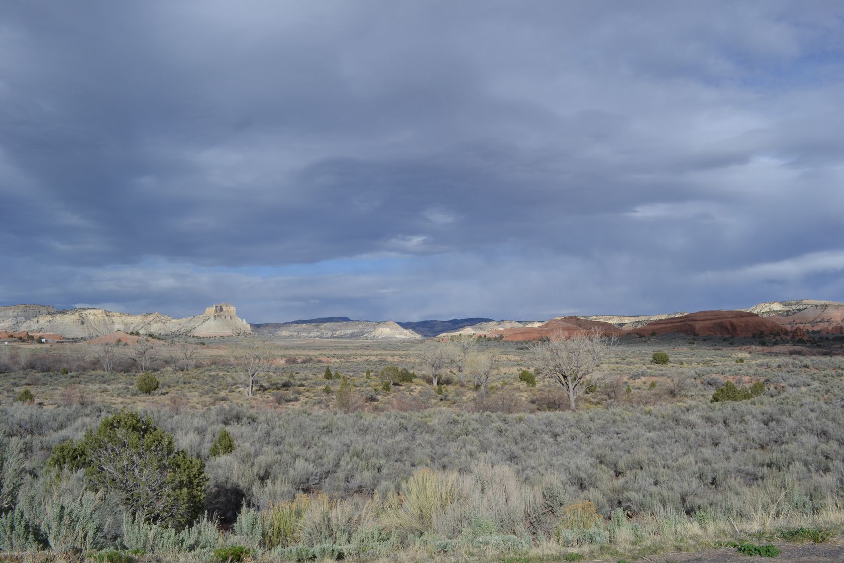
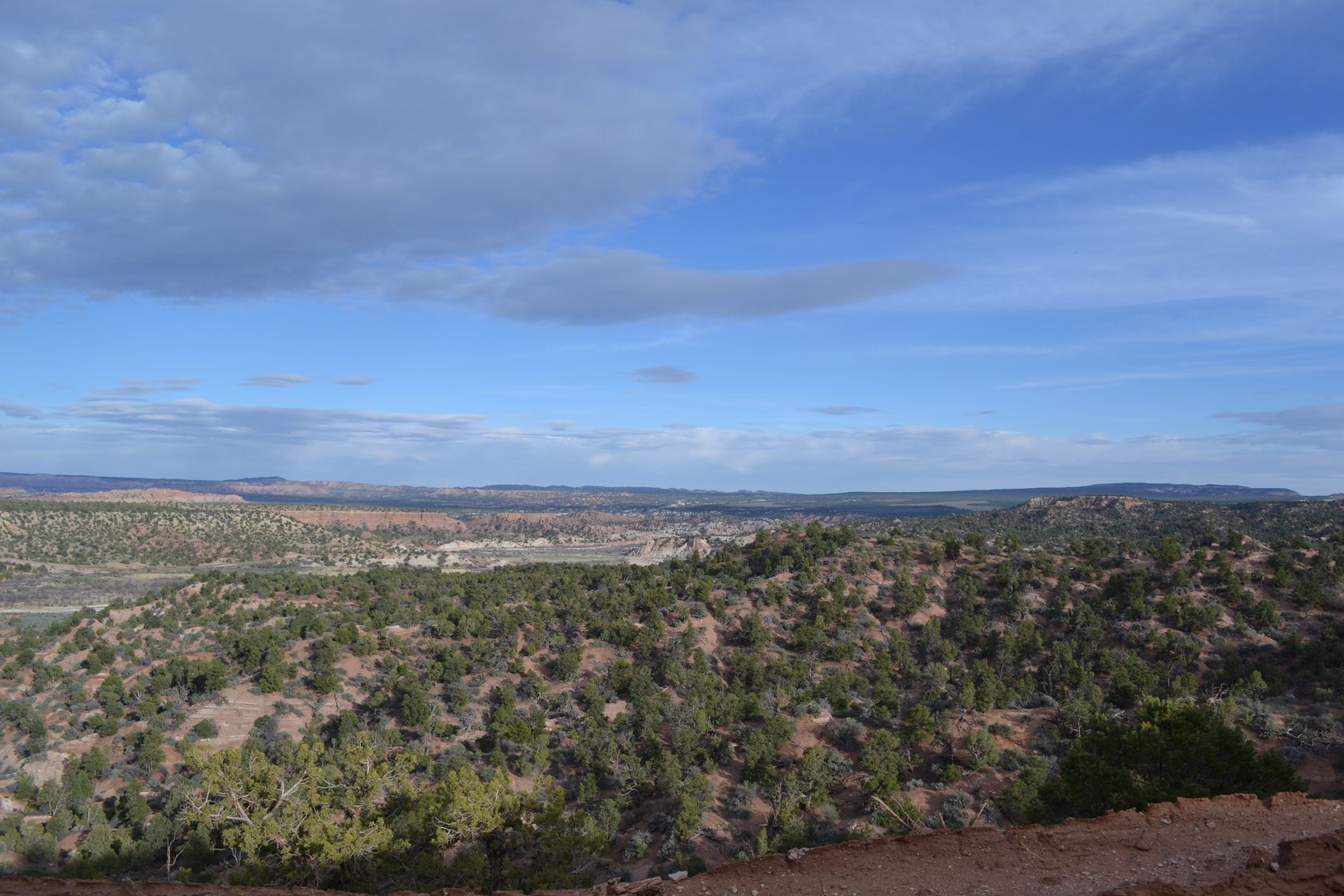
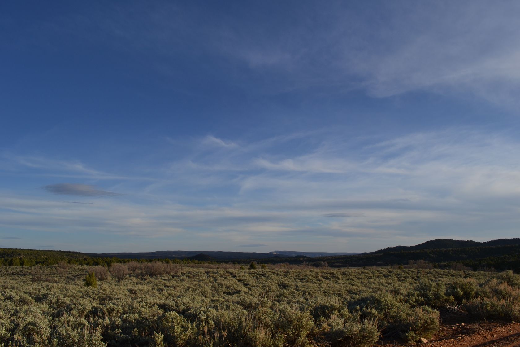
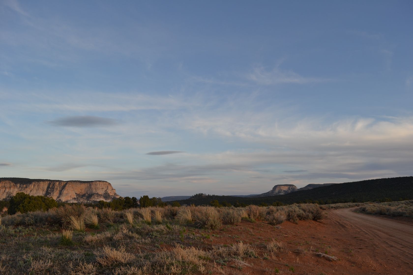
We are now some true cowboys! It is already 4:30PM so we stop at Bryce Canyon city to grab some burgers and beers. 5:30PM, we are on the road again, and soon we reach Cannonville at the entrance of the Grand Staircase-Escalante Natl Monument. Yes we never managed to remember the correct order of all the words…

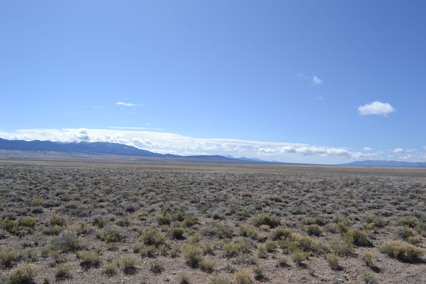
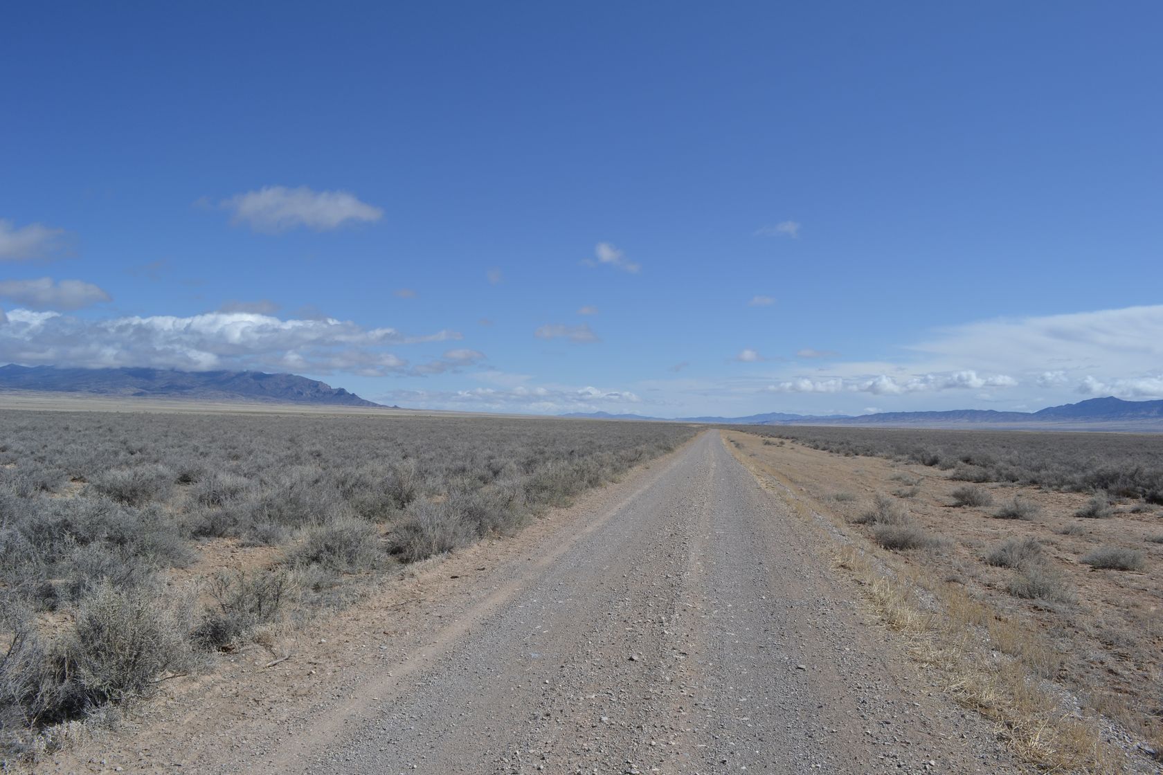
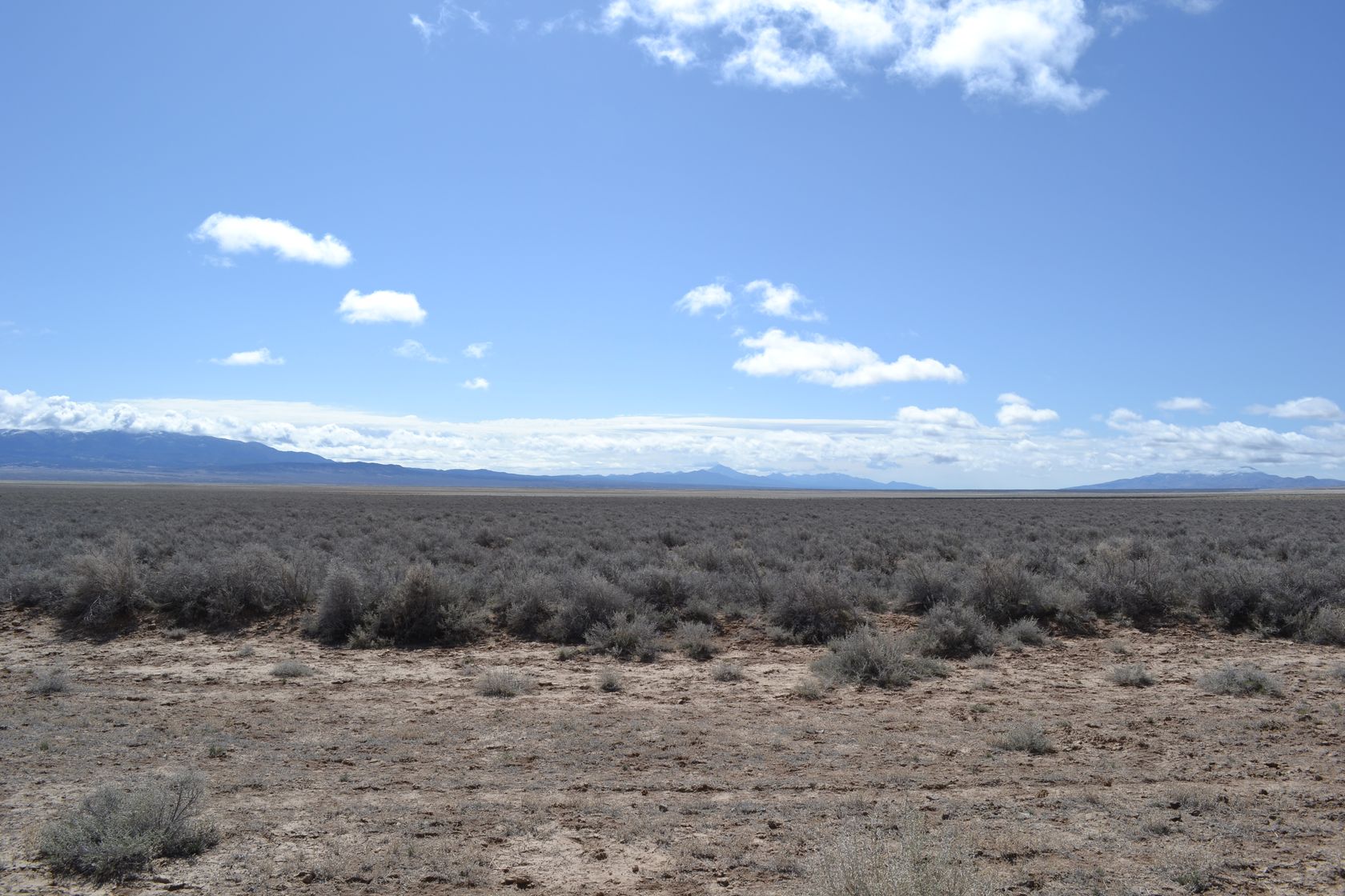
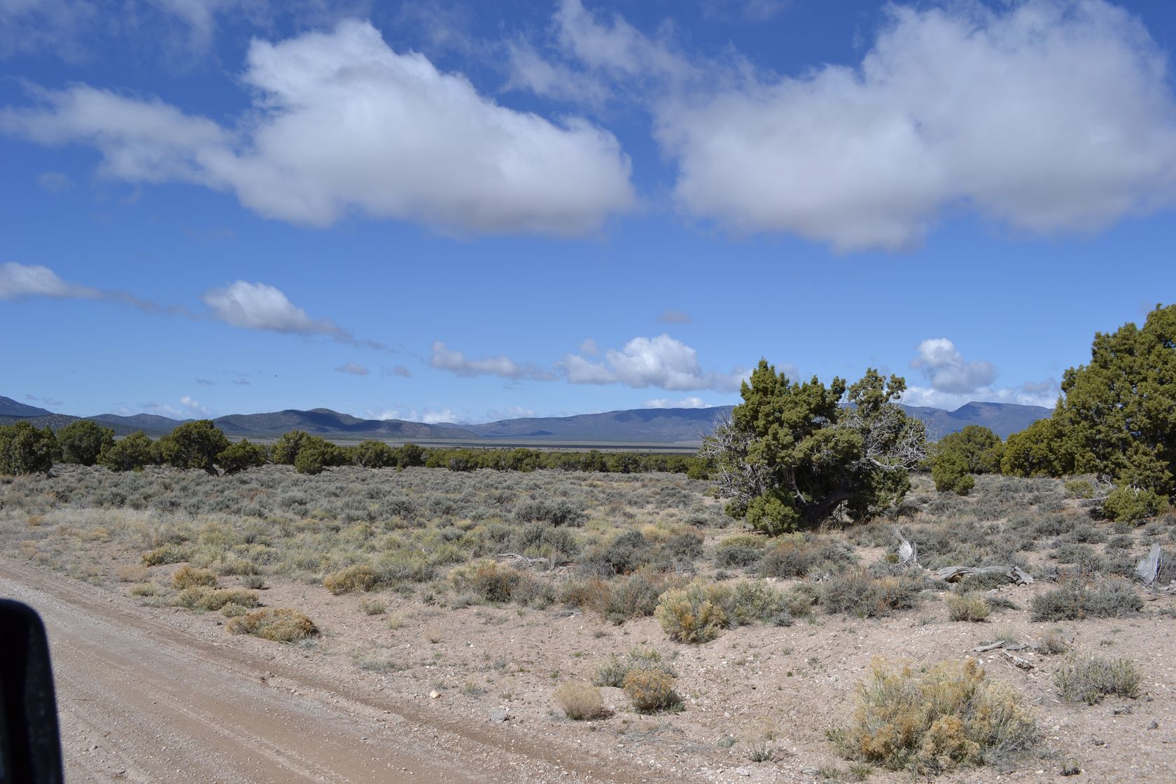
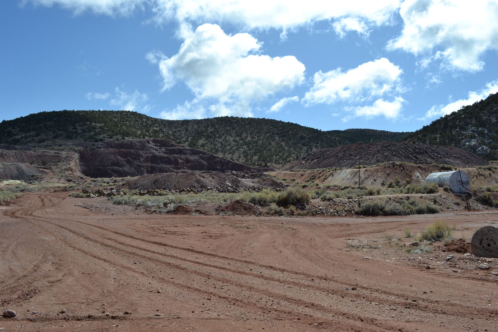
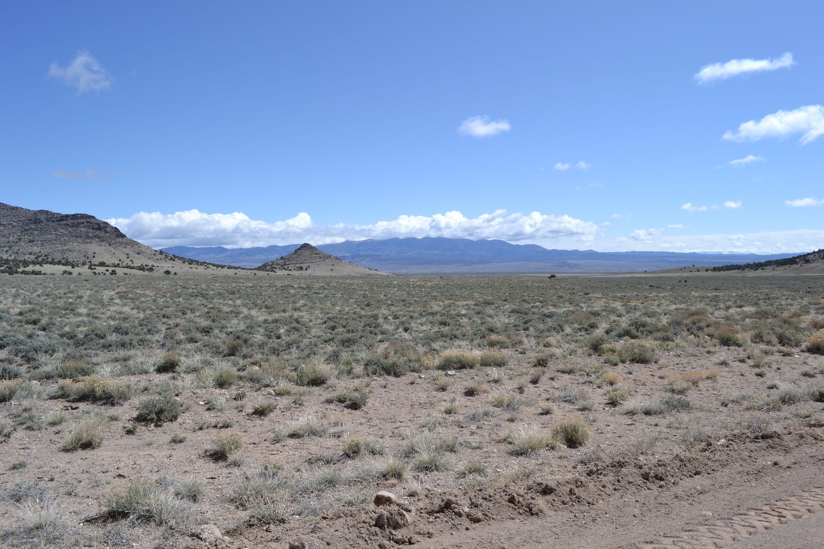
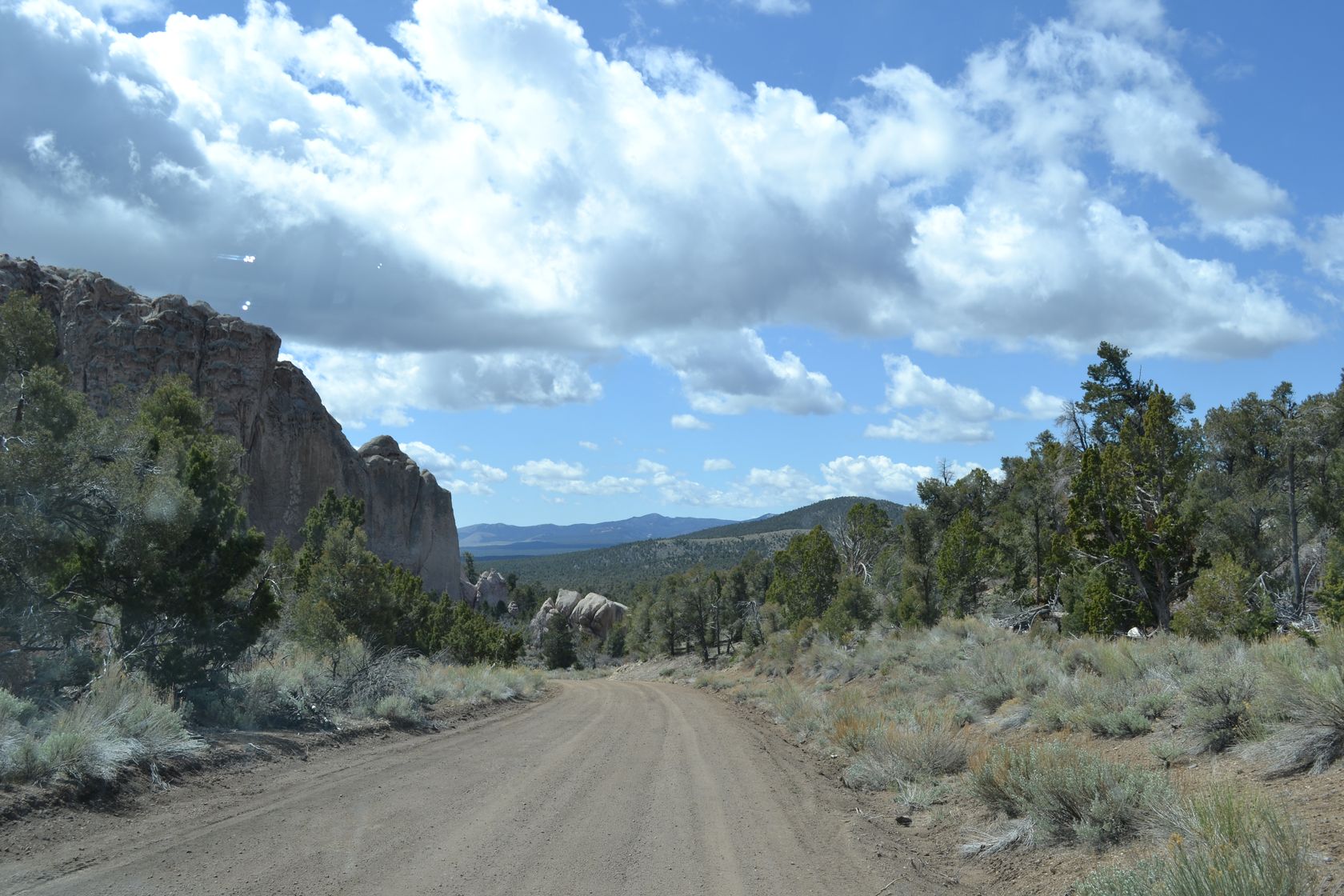
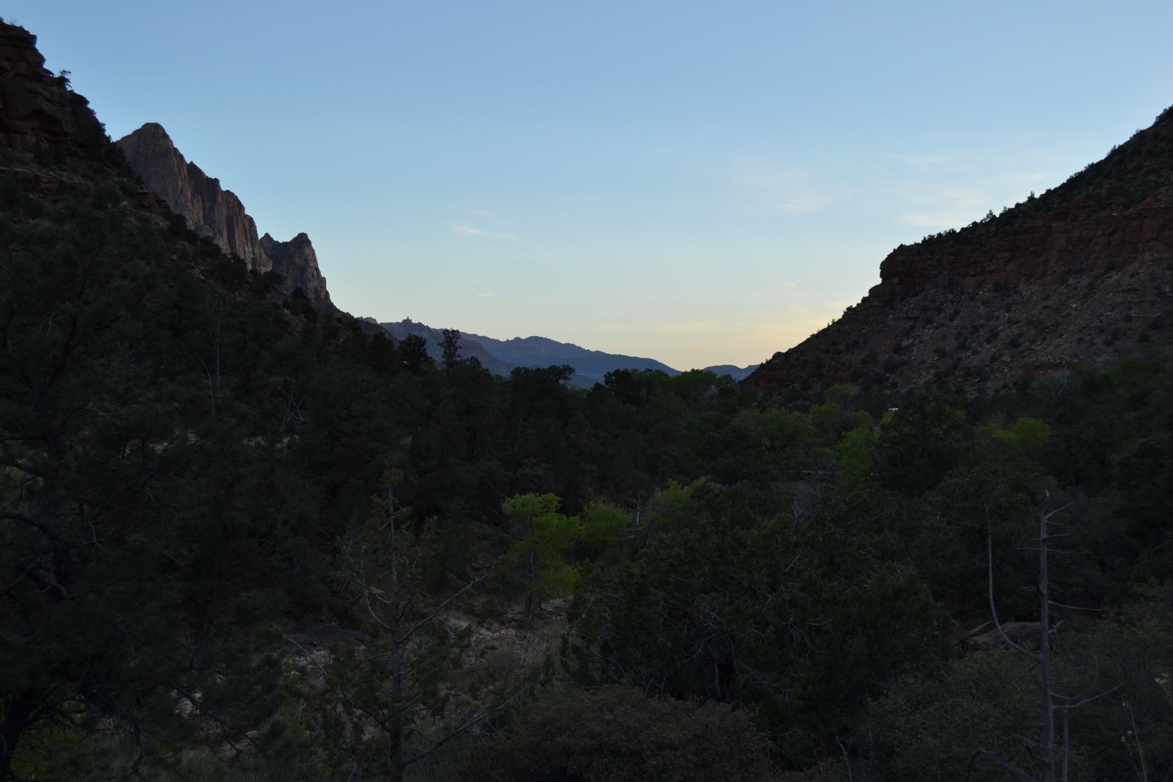
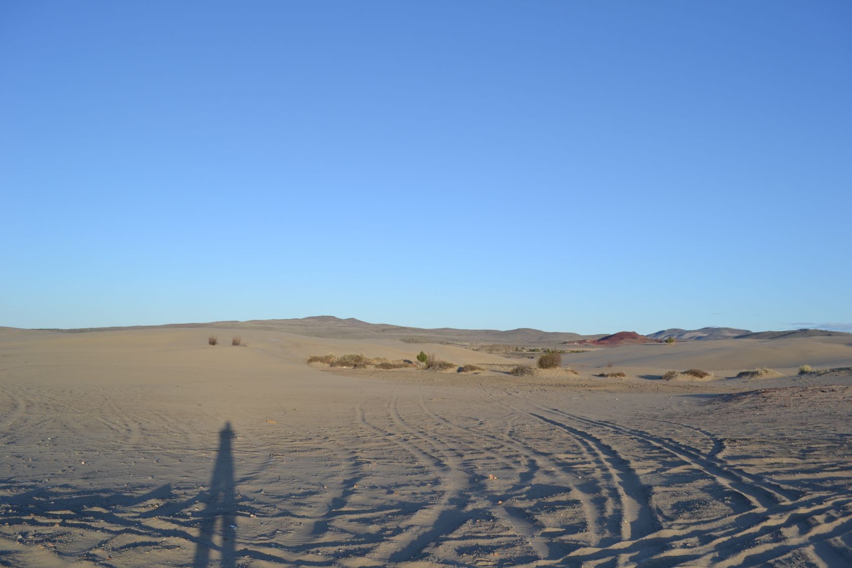
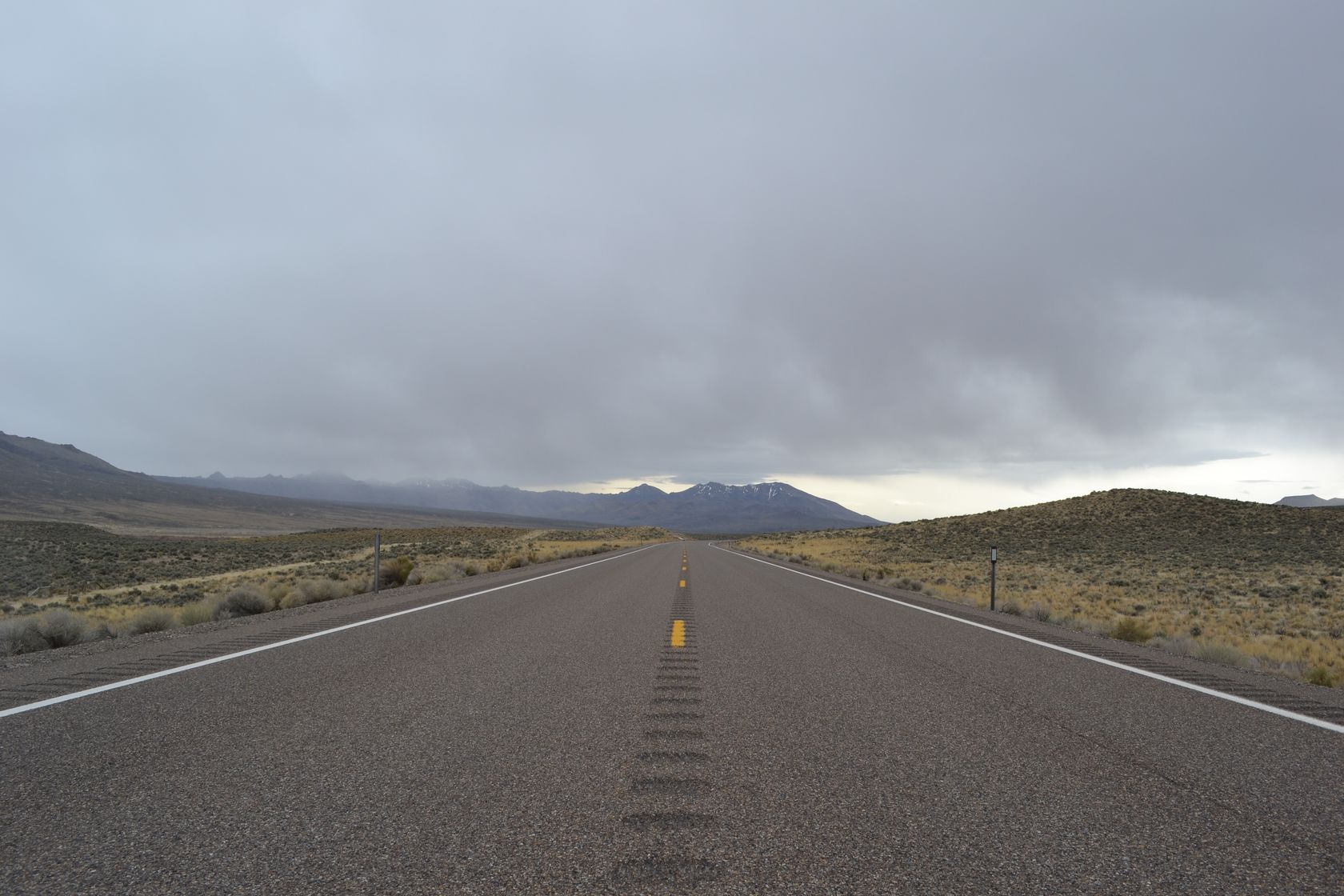
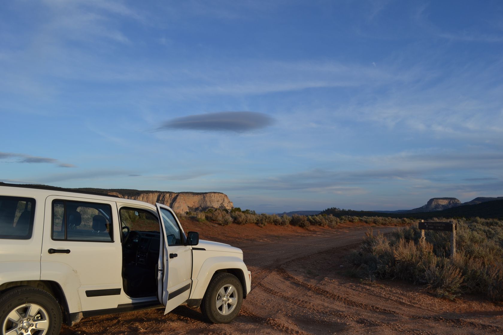
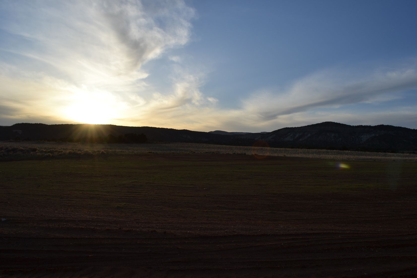
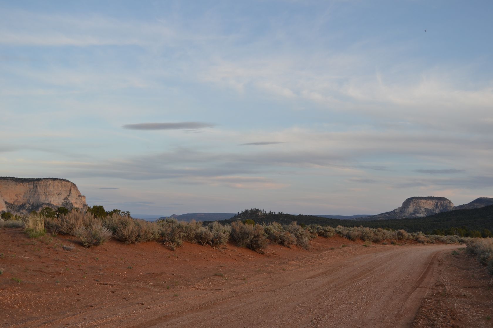
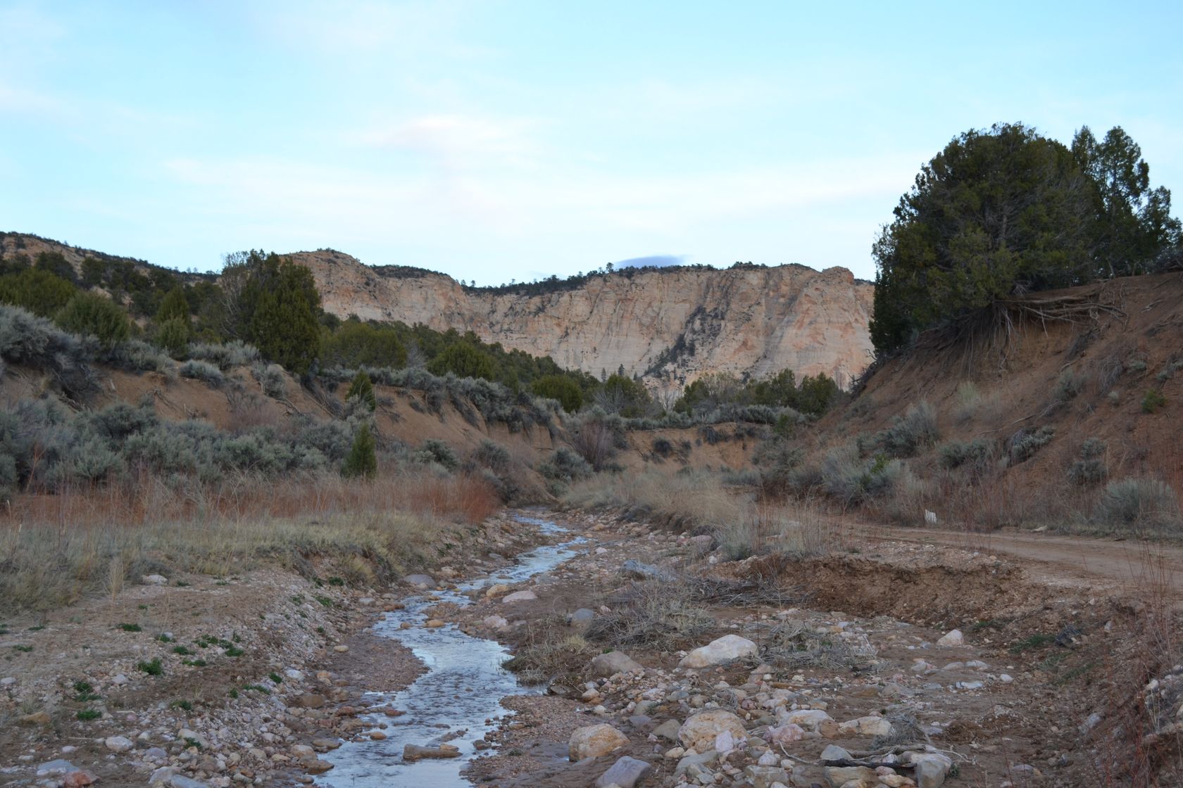
The road we wanted to take is closed (400, red), it seems a part of the road collapsed into a river… We hesitate a long time between the long turn through the brown trail 300 or the short one through the Skutumpah road (green, 600). The short one wins. The first part of it is rough but really rewarding. Right after watching the sunset on an airstrip near Lick Wash, we decide to take a longer road in the wilderness, meaning going through the Sand Road (purple, 666). After less than a mile we start crossing small creeks. One is much more complicated to pass as the opposite bank is really steep. Adie starts to panic, and begins to walk to see what comes next… The trail and the creek are only one, muddy, rocky. We have no other choice than to turn around or stay in the mud for the rest of the trip. Turning our car in the creek is quite difficult but we finally manage it. It’s almost dark now.

DSC_3381
DSC_3382
DSC_3383
DSC_3384
DSC_3385
DSC_3388
DSC_3389
DSC_3391
DSC_3392
DSC_3400
DSC_3404
DSC_3405
DSC_3409

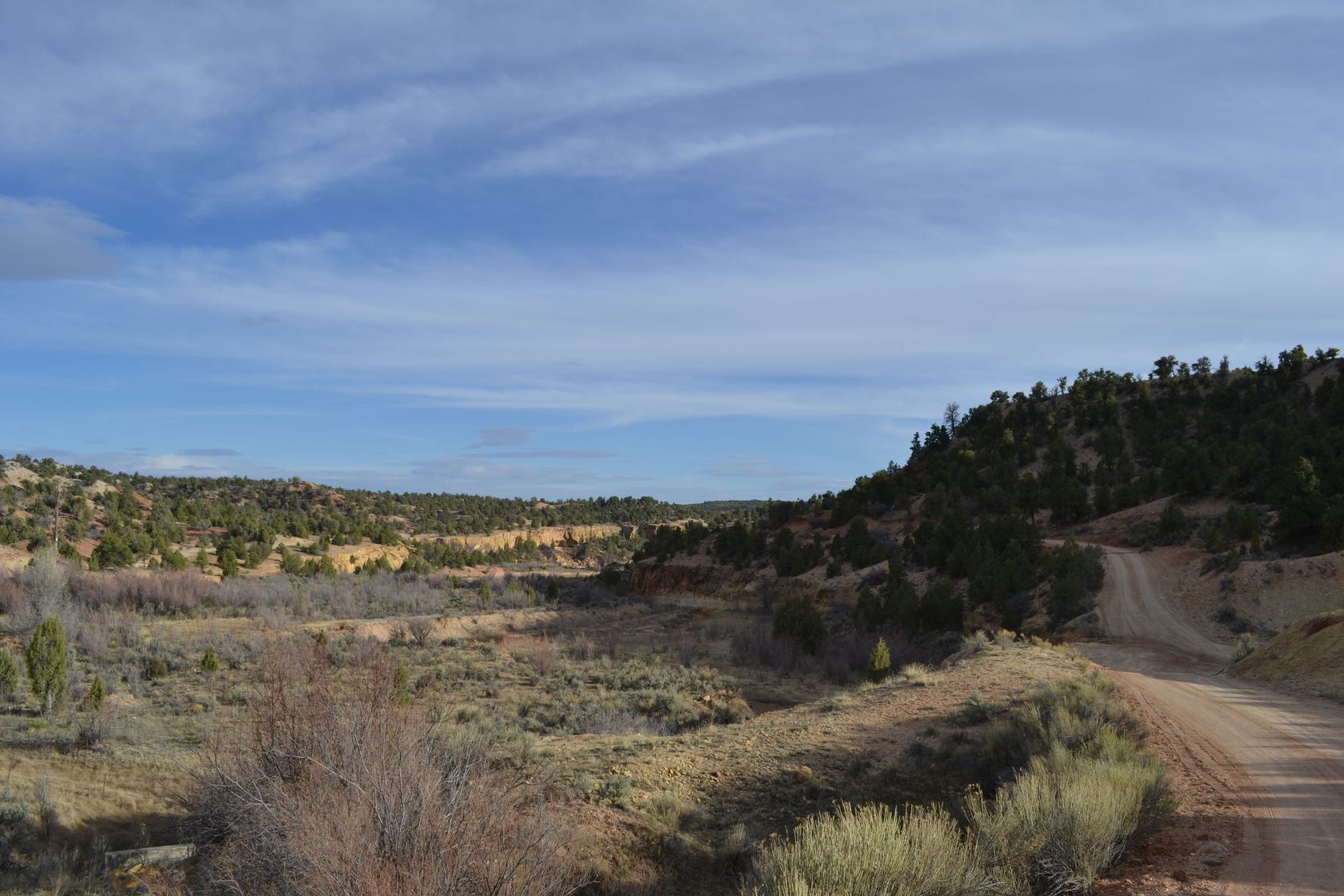
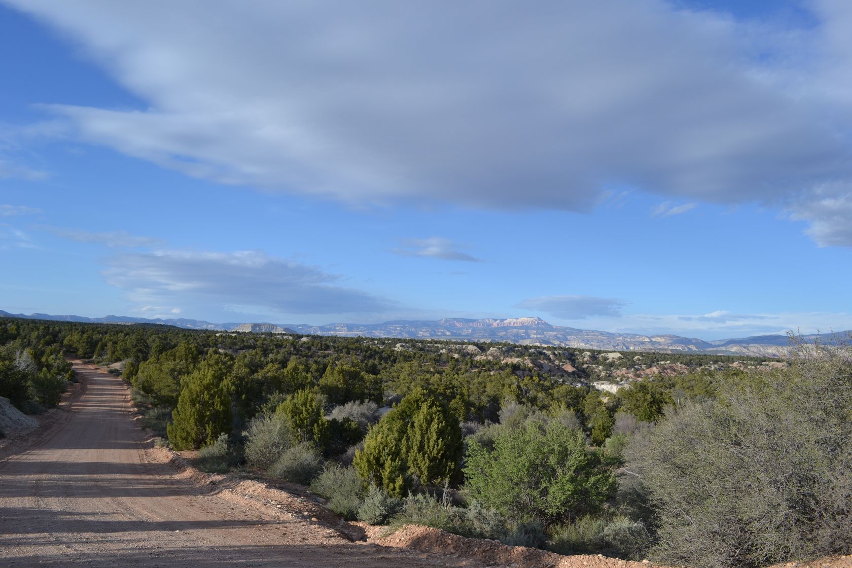
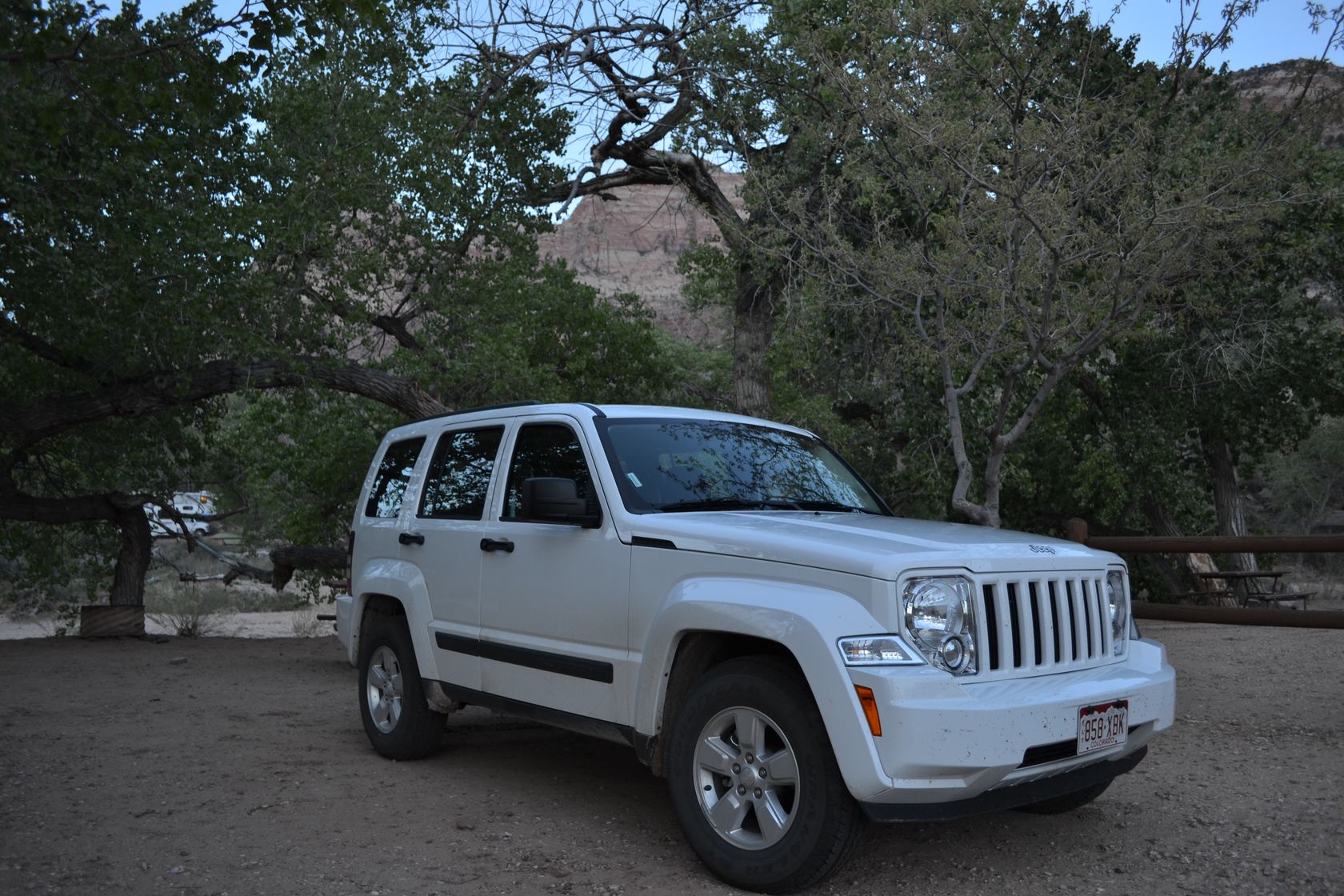
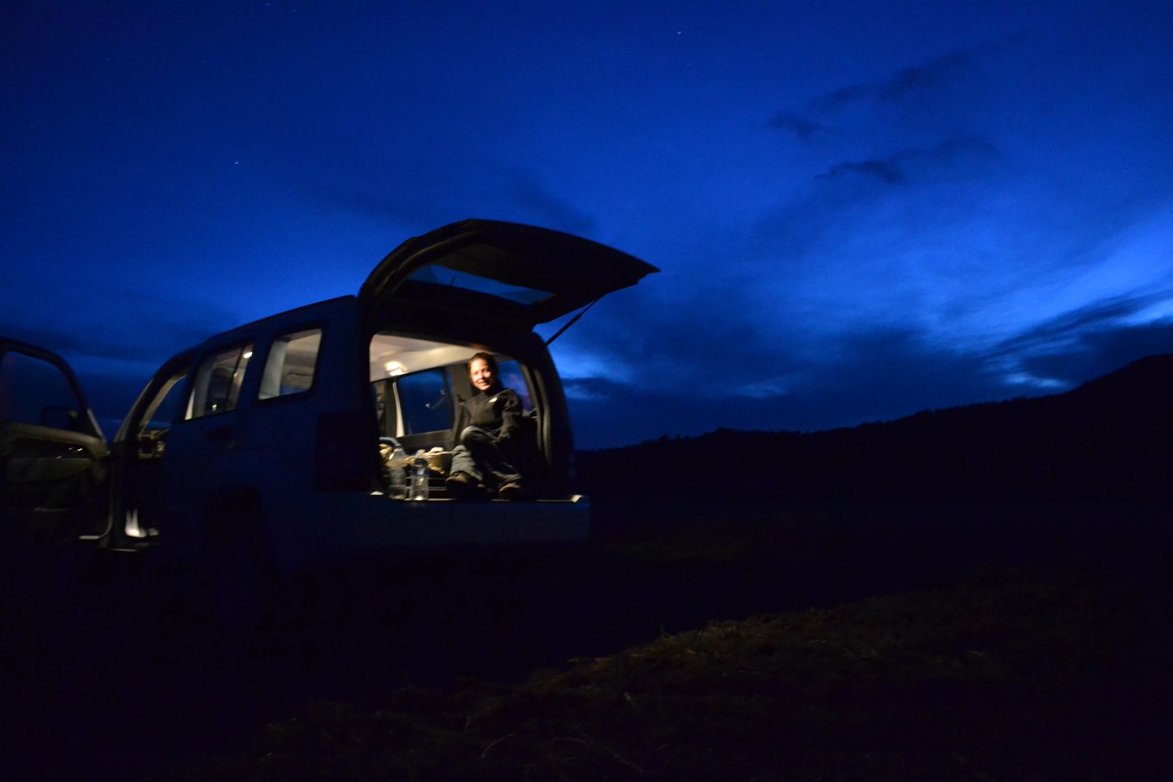
We go back to the Skutumpah road, which feels like an highway after the creeks and stop a few miles later for the night (at the red cross on the map).
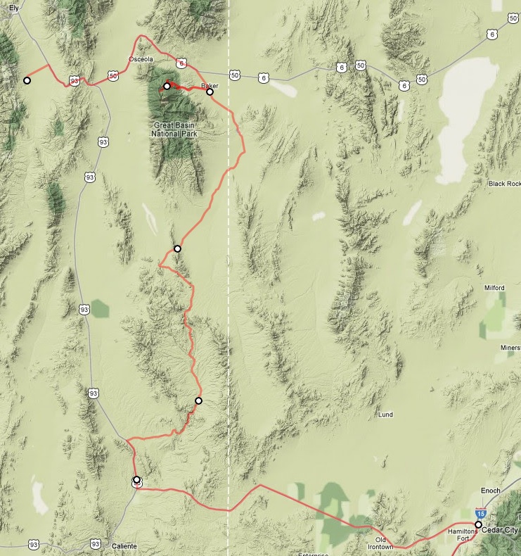
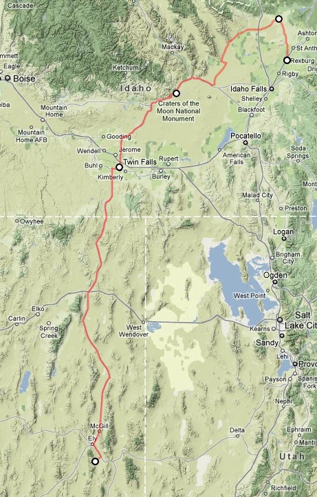
Map of the day:

Zion

  • April 17, 2012March 26, 2020

Dring!Dring!Dring! 4:50AM, the clock is ringing… We follow the sun rather than the time zones, that’s why we decided to get up so early. However, we are not ready to wake up, the sky is still dark, so we sleep for another 20 minutes. When the sky starts to brighten up, we get up.

It is cloudy this morning, even a little rainy. On the trail back to the main road we meet an antelope.

The road to Great Basin Natl park.

DSC_3152
DSC_3154
DSC_3155
DSC_3157

Before exploring the park, we stop at Baker, in the only restaurant of the village for the breakfast. Amazing, it’s at the same time the only restaurant, the only bar, the only cinema, the only proximity shop, the only motel and probably many other only things beyond that in this village! (about 50 persons live here). Anyway the coffe is good, the pumkin cookie is really strange and the granola is exquisite.

We head as far as we can in the Great Basin Natl Park, but not to the top of the Wheeler Peak as the road is closed again due to the snow. However the views from 9000 feet are impressive! We disturb a lot of wild turkeys on the road. We even catch a glimpse of a bobcat on the way up but we were not able to take a picture.

DSC_3160
DSC_3161
DSC_3162
DSC_3163
DSC_3165

Before leaving the park we study the map. Tonight the goal is Zion, but we decide to enjoy the area a little more before moving towards Zion. That means going throught a non paved road from Garrison back to the road 93. The first part of the trail is in very good condition and rewards us with amazing scenaries of this wilderness. From Atlanta (a mine), we decide to go South instead of taking the shortest path. This brings us on a roughter road, but still passable. We are glad to have a real 4WD.

DSC_3168
DSC_3170
DSC_3171
DSC_3172
DSC_3173
DSC_3174
DSC_3175
DSC_3176
DSC_3177
DSC_3178
DSC_3180
DSC_3181
DSC_3182
DSC_3183
DSC_3184

It is really amazing to see that such big areas remain so wild, only a little changed by human presence, in the lands of the first world economy country.

A few miles after coming back to the road 93, we enjoy Cathedral grove, and the showers of the campground!!!

DSC_3185
DSC_3186
DSC_3187
DSC_3188
DSC_3189
DSC_3190

Map of the morning & trail:

Back on the road again, till Zion this time. The closer we get from Zion the more impressive it gets.

DSC_3191
DSC_3194
DSC_3195
DSC_3196
DSC_3197
DSC_3198
DSC_3198-PANO
DSC_3199
DSC_3200
DSC_3201

Bad news at the entrance of Zion, campgrounds are full, no car allowed in the canyon… It is already 6PM but we manage to catch a shuttle to the Temple of Sinawava and there we do a small walk to the start of the narrows.

The pictures are hard to take due to the light contrast between the gorge and the top. This is even more fantastic in reality.

DSC_3206
DSC_3211
DSC_3216
DSC_3218
DSC_3219
DSC_3222
DSC_3229
DSC_3240
DSC_3247
DSC_3264
DSC_3265
DSC_3262
DSC_3254

Exiting the park itself, we manage to find a campground in Sprindale, with a place near the river.

We hesitate between a BBQ or going to a restaurant. As we don’t want to stink for the rest of the trip we choose the restaurant. The food is great, local. Lamp chunk and game meatloaf. We head back to the campground for the night.

Map of the afternoon

Craters of the moon

  • April 16, 2012March 26, 2020

Wake up at 5:50AM!!!! It is always as hard, but we are rewarded with a nice sunrise. We are soon on the Red Road going North of Rexburg, towards Dubois. Pretty sand dunes on the side of the road.

A few miles later the road is closed. However there are some tire tracks on the side of the road, so we decide to go anyway. Wonderful views!!! We are a bit scared however to get caught by the police or some ranger, so we don’t have a lot of pictures… Adie doesn’t take pictures when she is scared… There are hundreds of strange birds on the road, like pheasants but with funny fan tails, maybe this is why the road is closed…

DSC_3084
DSC_3089
DSC_3091
DSC_3095
DSC_3100
DSC_3098

Craters of the Moon. We arrive there at around 11AM. It is an old volcanic area. Beautiful. It reminds us of La Reunion. There are even some lava tubes and caves, we explore two of them.

DSC_3101
DSC_3102
DSC_3103
DSC_3105
DSC_3106
DSC_3107
DSC_3108
DSC_3109
DSC_3113
DSC_3120

By the way spending time at high elevations is good for the fit!

We finish the pizza from yesterday evening, and take the road again, heading South to Nevada through the road 93. The part around Twins Falls is quite crowded and not really pleasant, except for the canyon at the town entrance.

DSC_3122
DSC_3124
DSC_3125

Nevada! We will try to avoid getting a speed ticket this time… The landscape starts to change along the road, more and more desertic. We cross Great Basin, an immense upland, 300 miles by 100 miles.

DSC_3128
DSC_3130
DSC_3131
DSC_3134
DSC_3132
DSC_3135
DSC_3137
DSC_3138
DSC_3139
DSC_3141
DSC_3142

After a chinese dinner in Ely, a small casino city, we head to a small campground (14$ fee for self registration at the entrance). The trail to the campground is quite pleasant, lot of black cows and veals in open range. It is dark when we arrive, so we quickly set up the car for the night. This time we manage to pull enough the front seat to allow us to be confortable.

Map of the day:

Posts navigation

1 2 3

Recent Posts

  • Traversée de la Pampa & Nouvel An entre lacs et rivières
  • Remontée de la côte atlantique & Noel
  • Terre de Feu
  • Autour du détroit de Magellan
  • Perito Moreno & Torres del Paine

Categories

  • Balkans 22
  • BB 10
  • Canada 2022 32
  • Canoe 3
  • Central America 9
  • France 2020 5
  • Iceland 17
  • Mexico 10
  • Morocco 27
  • Norway 26
  • South America 32
  • Uncategorized 1
  • USA 2022 24
  • WestUS-Apr2012 8
  • WestUS-Feb2012 14

Recent Comments

  • Luc on Baja California – Nord
  • Luc on Vegas & Saline Valley
  • Camille on Yukon – Feux & Whitehorse
  • Luc on Yukon – Feux & Whitehorse
  • Camille on Alaska – Tok à Anchorage

Archives

Meta

  • Log in
  • Entries feed
  • Comments feed
  • WordPress.org
  • Instagram
  • YouTube
Powered by WordPress