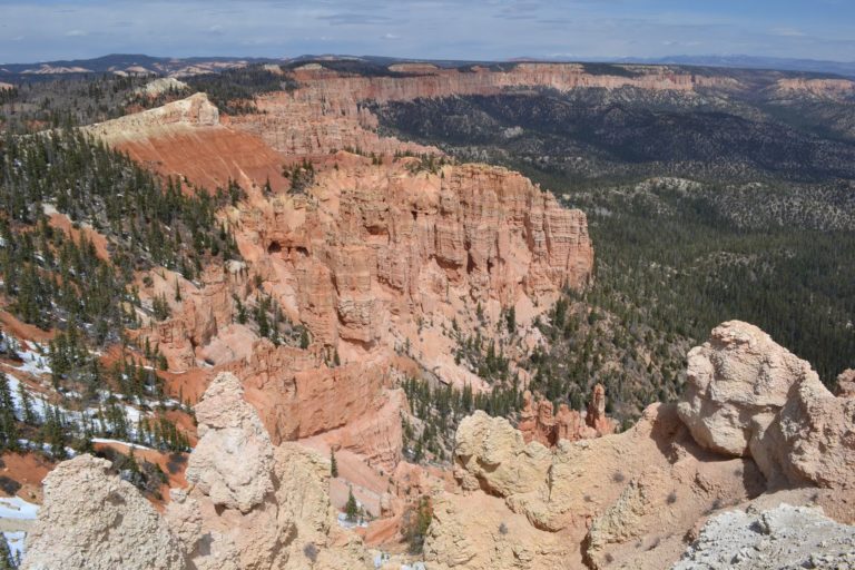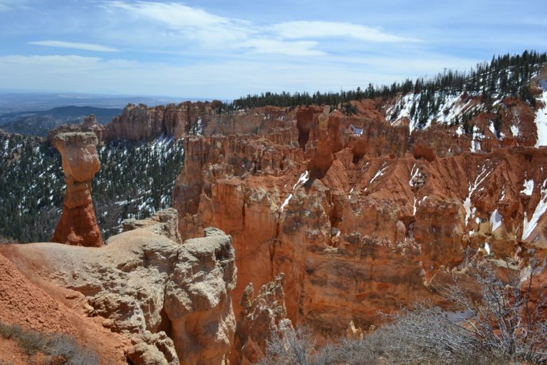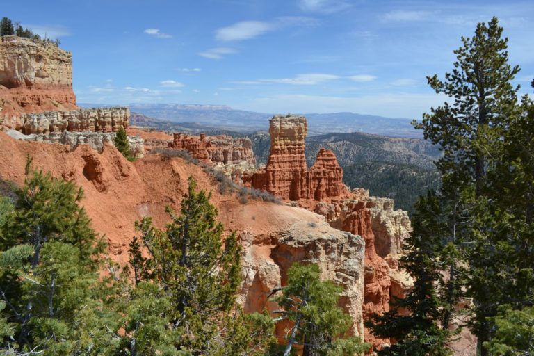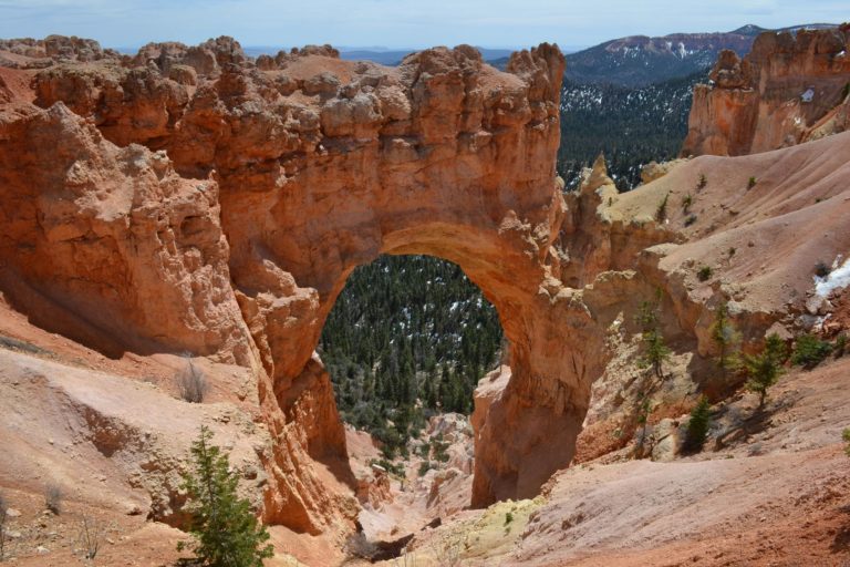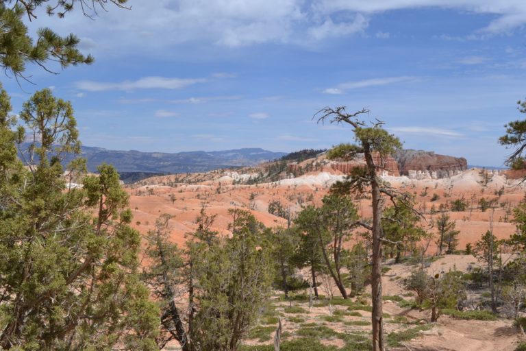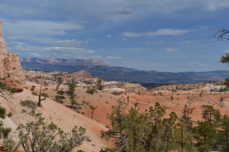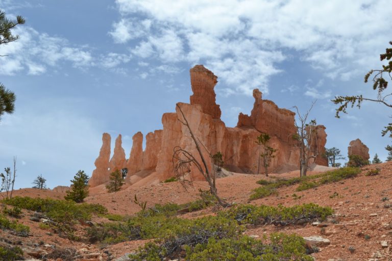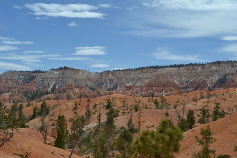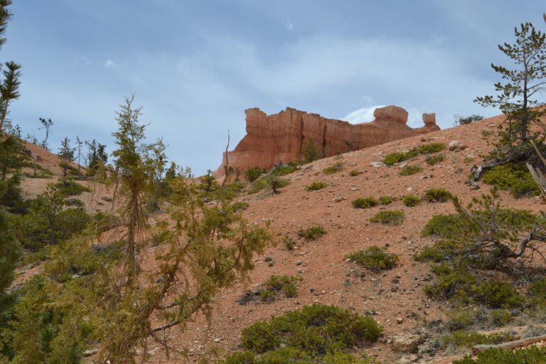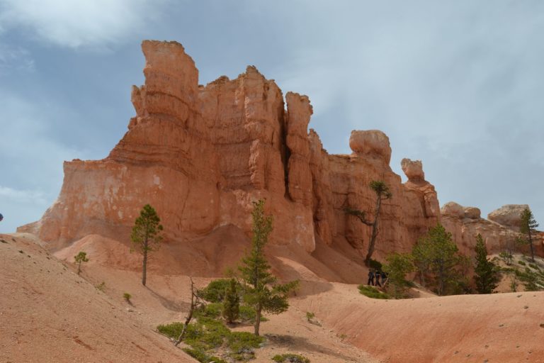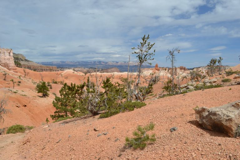
Bryce
We never slept so well in a car! The night was warm and quiet. First thing in the morning, we take a shower, pack up everything, and head towards the start of the shuttles for Zion inner canyon.
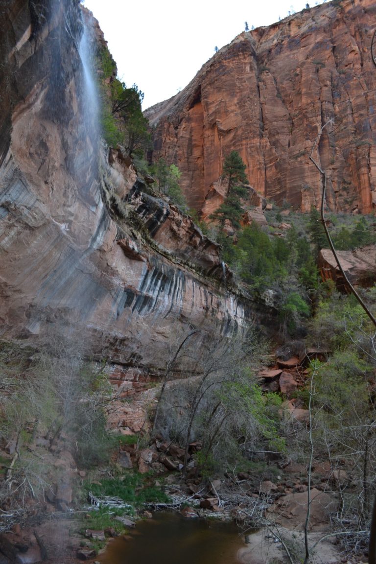
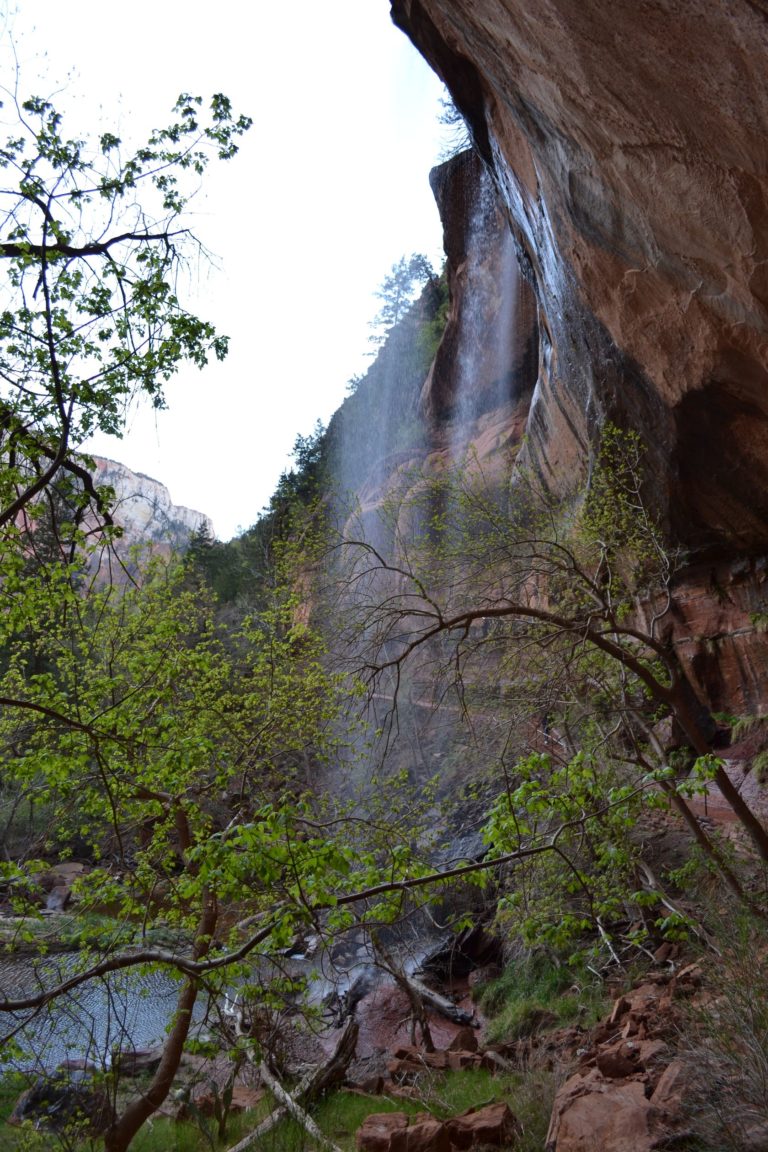
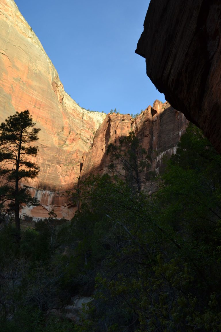
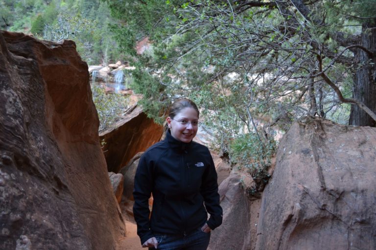
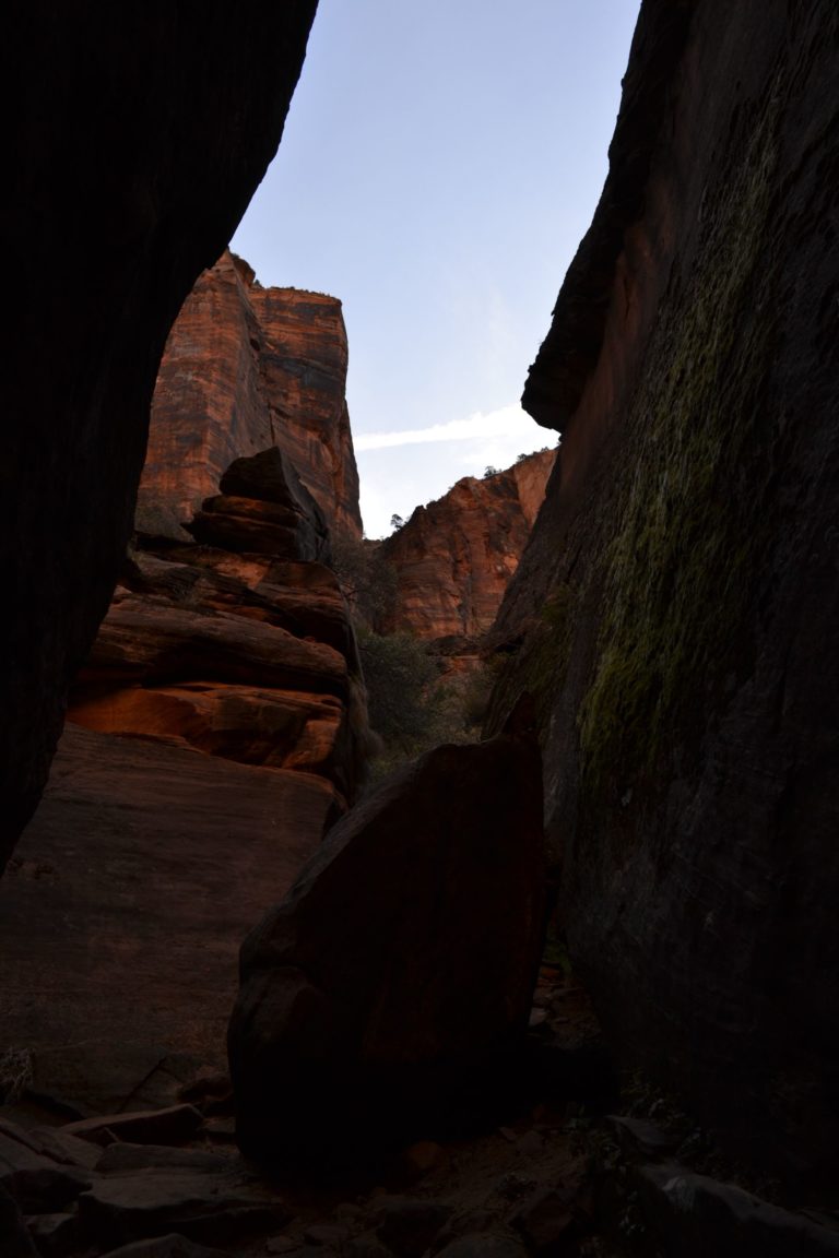
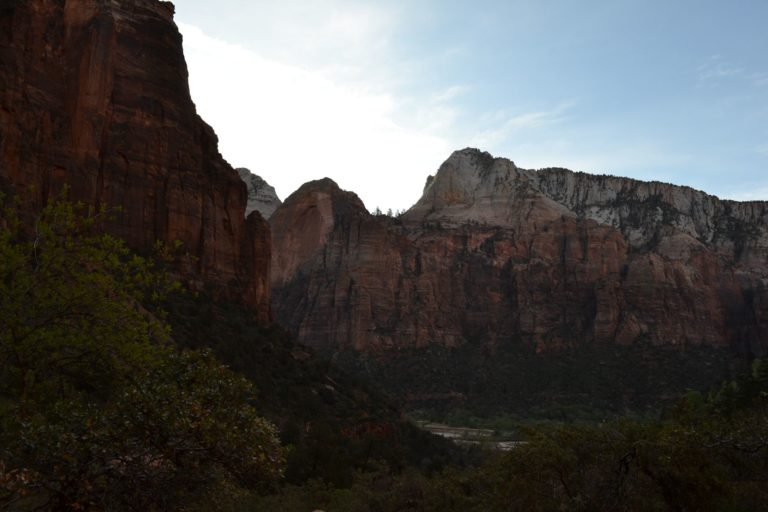
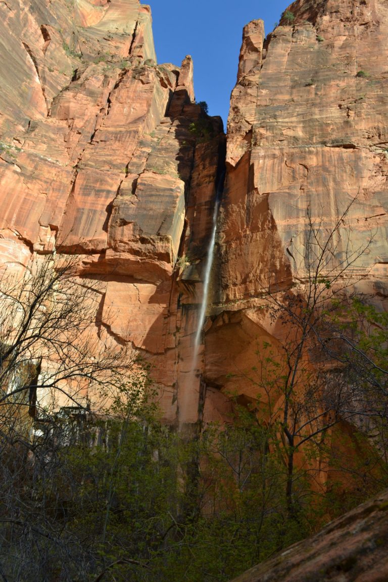
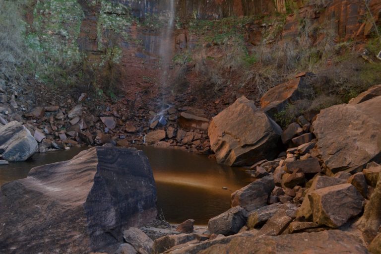
30 minutes later we are at the Zion lodge (look at previous page to see the map), and start hiking the Emerald Pools trail. The sun is still low and the light is perfect for pictures!
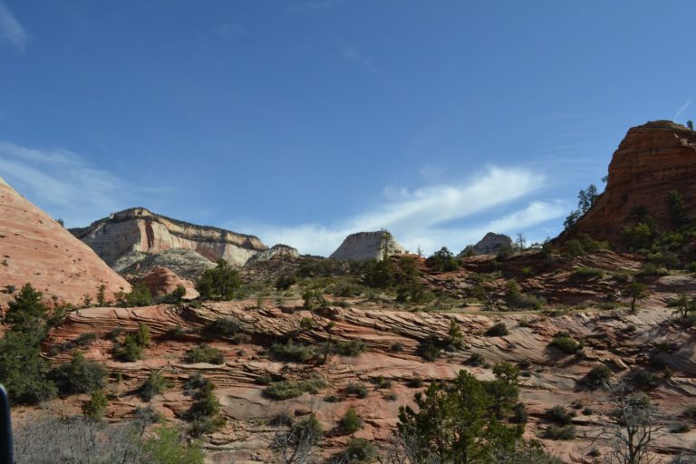
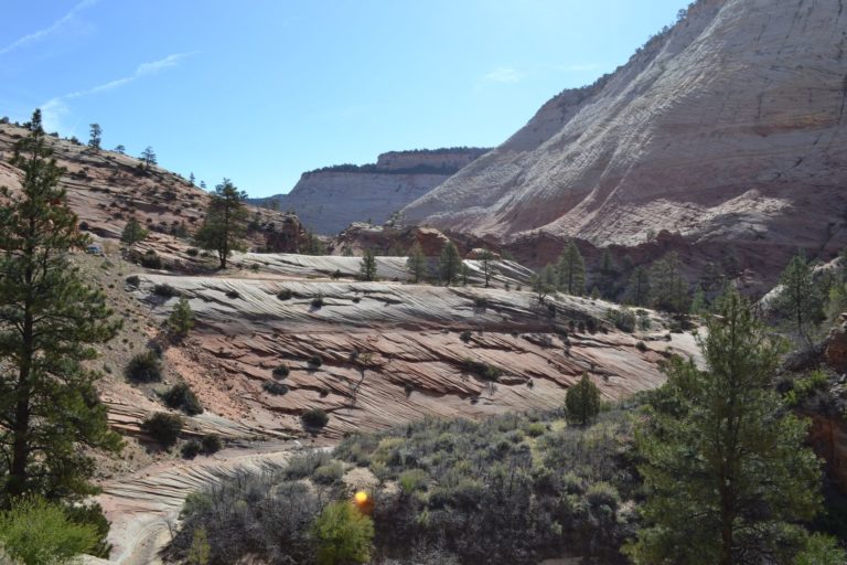
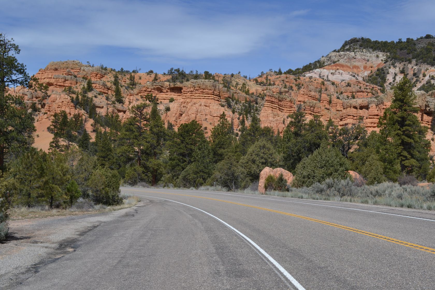
We finish the walk at around 9AM, and stop again at the lodge to get coffee and tea. The coffee is a wonder! We start our journey towards Bryce Canyon. The road from Zion starts by a dark tunnel which leads to a rocky plateau, with colors in the reds and yellows.
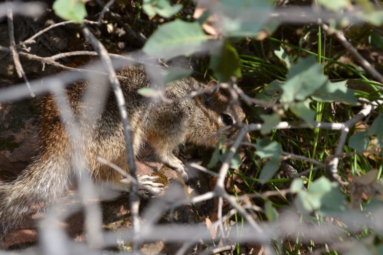
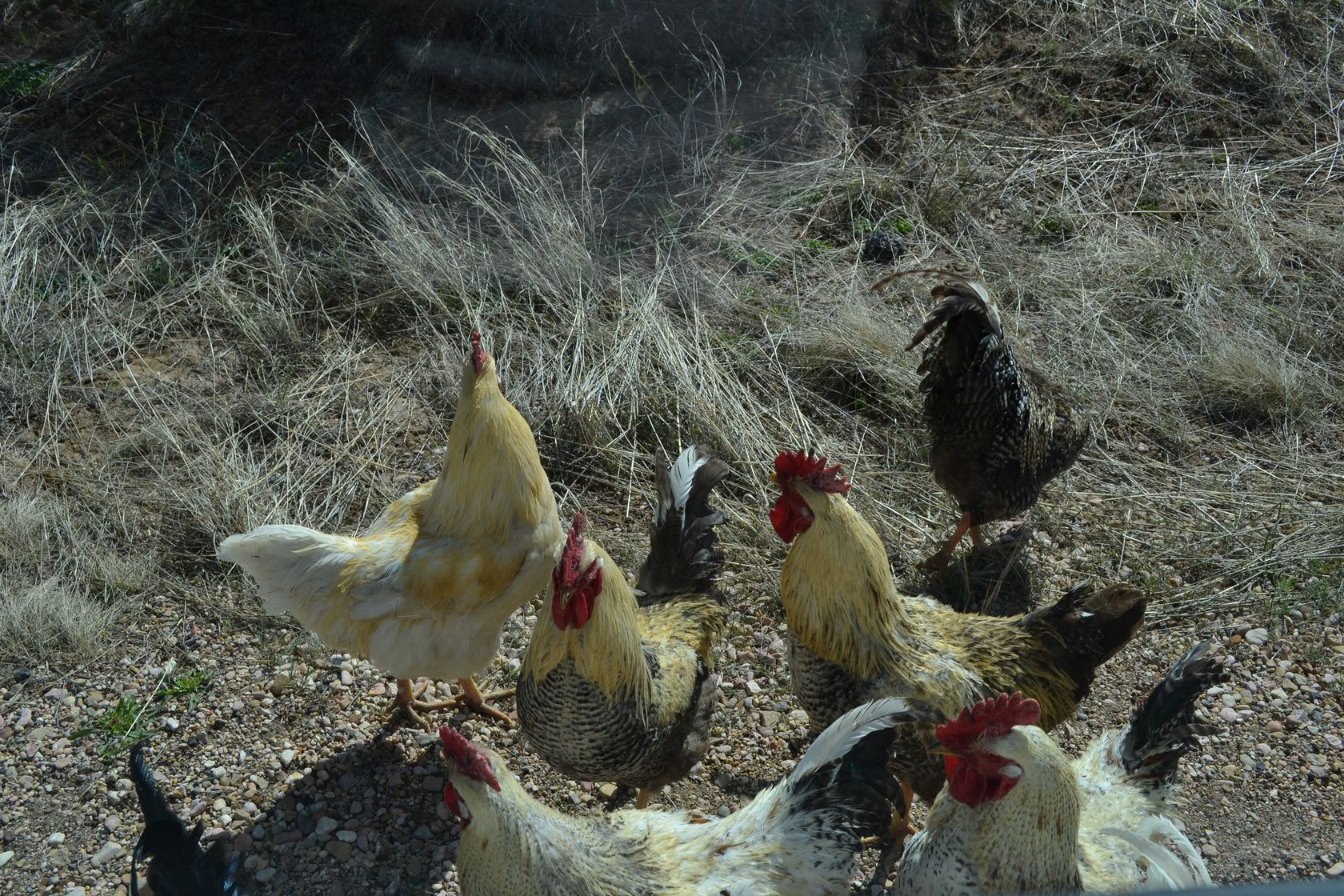
At some point we park on the side of the road to look at the map, and we are almost attacked by wild chickens! There are at least 20 around the car! The picture is taken from the car, we don’t dare to get out, they look very agressive…
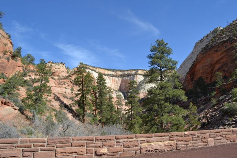
The road toward Bryce canyon leads us through the Red Canyon.
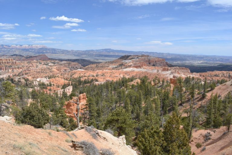
It is almost 12AM when we arrive at Bryce Canyon. Here is the general map of the canyon.
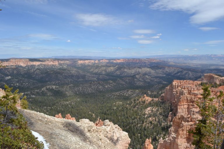
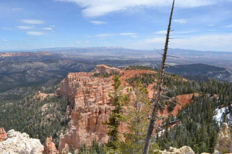
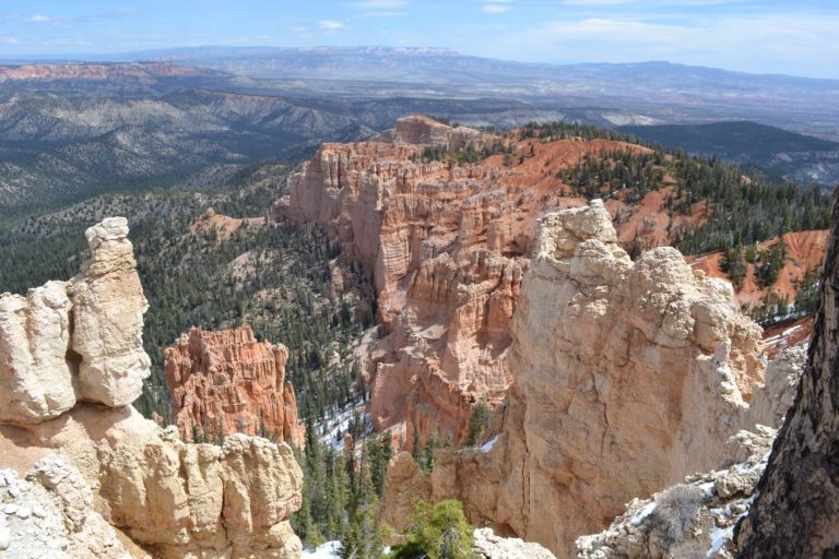
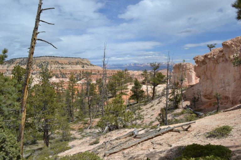
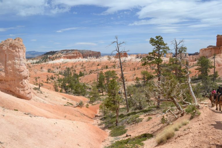
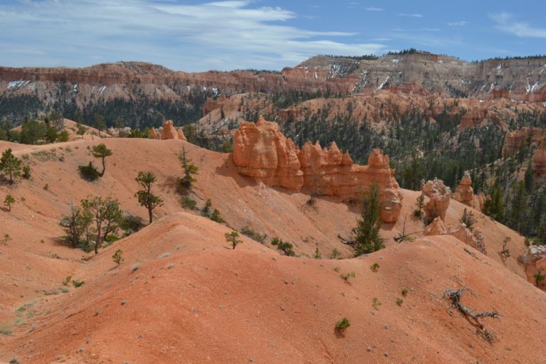
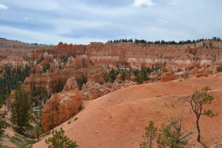
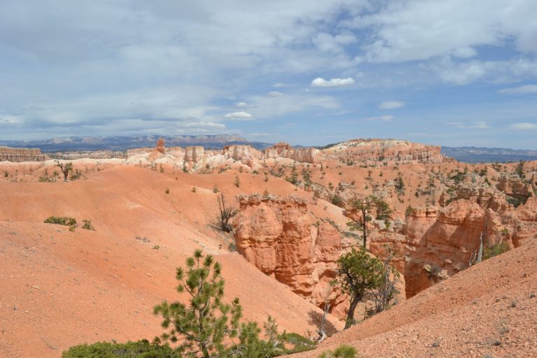
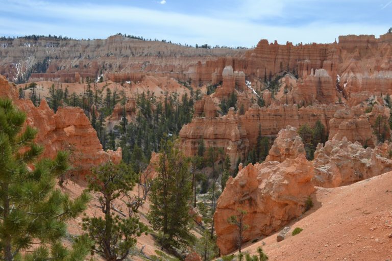
We start by a scenic drive to Rainbow Point, and stop to a few other points on the way back. The drive is well worth it, amazing views of the canyon.
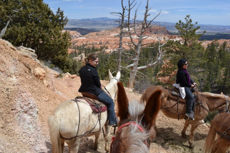
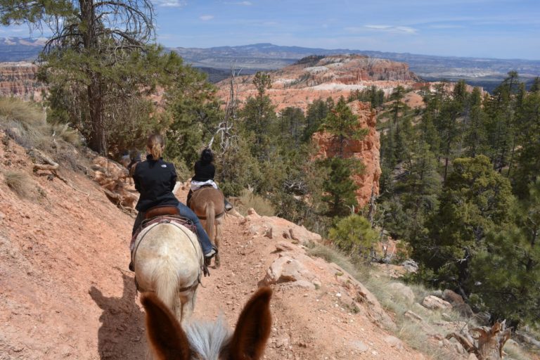
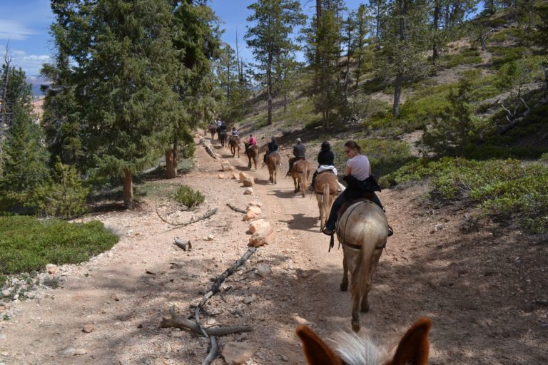
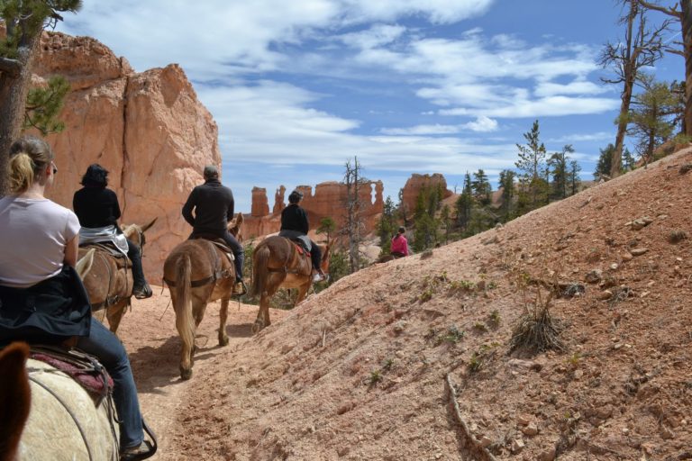
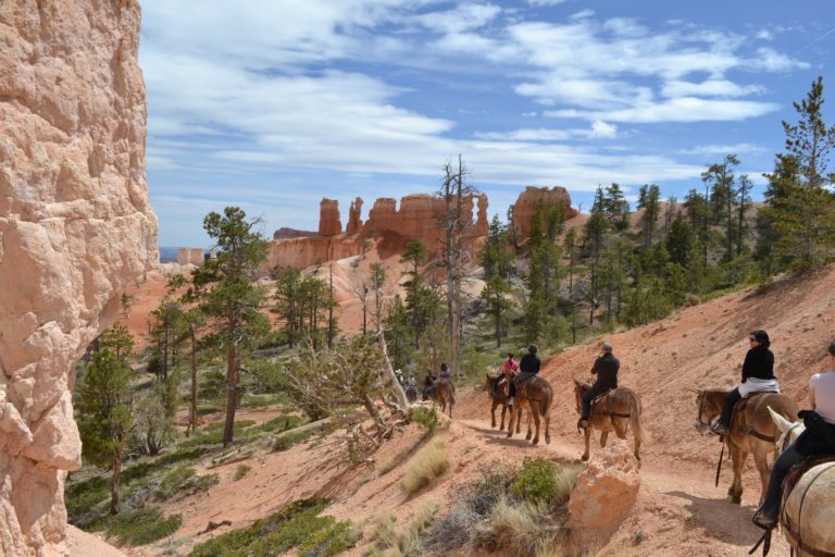
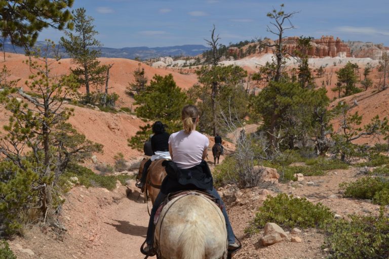
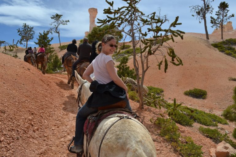
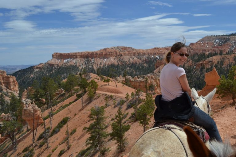
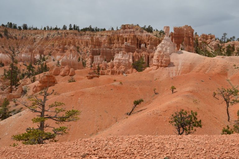
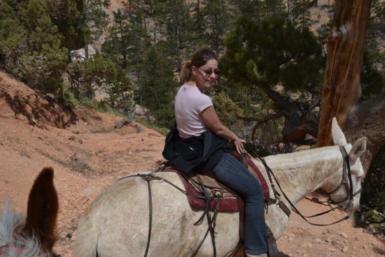
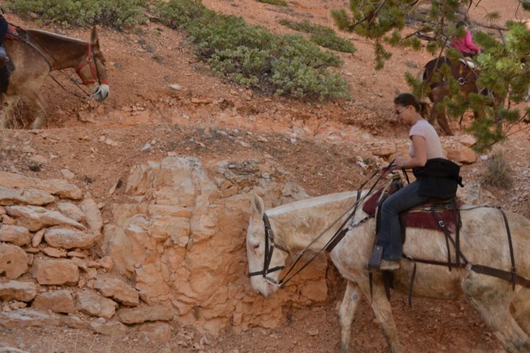
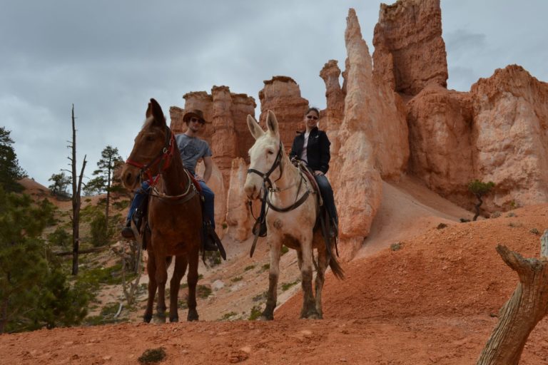
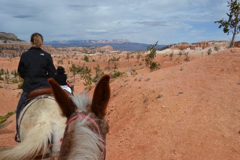
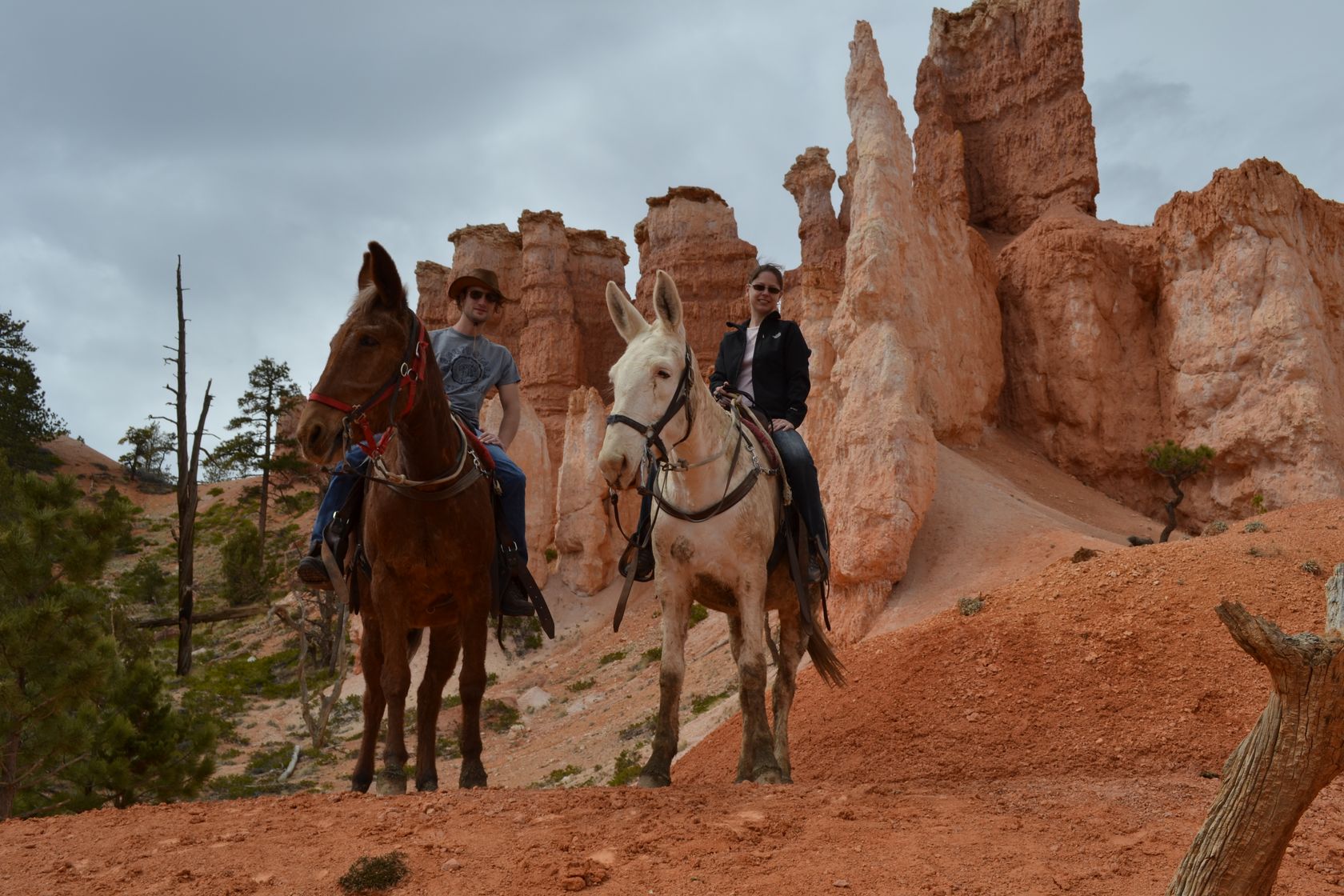
We come back to the Bryce Amphitheater, which is the heart of the canyon, and see that they have horseback tours into the canyon. 20 minutes later we are on horse back…
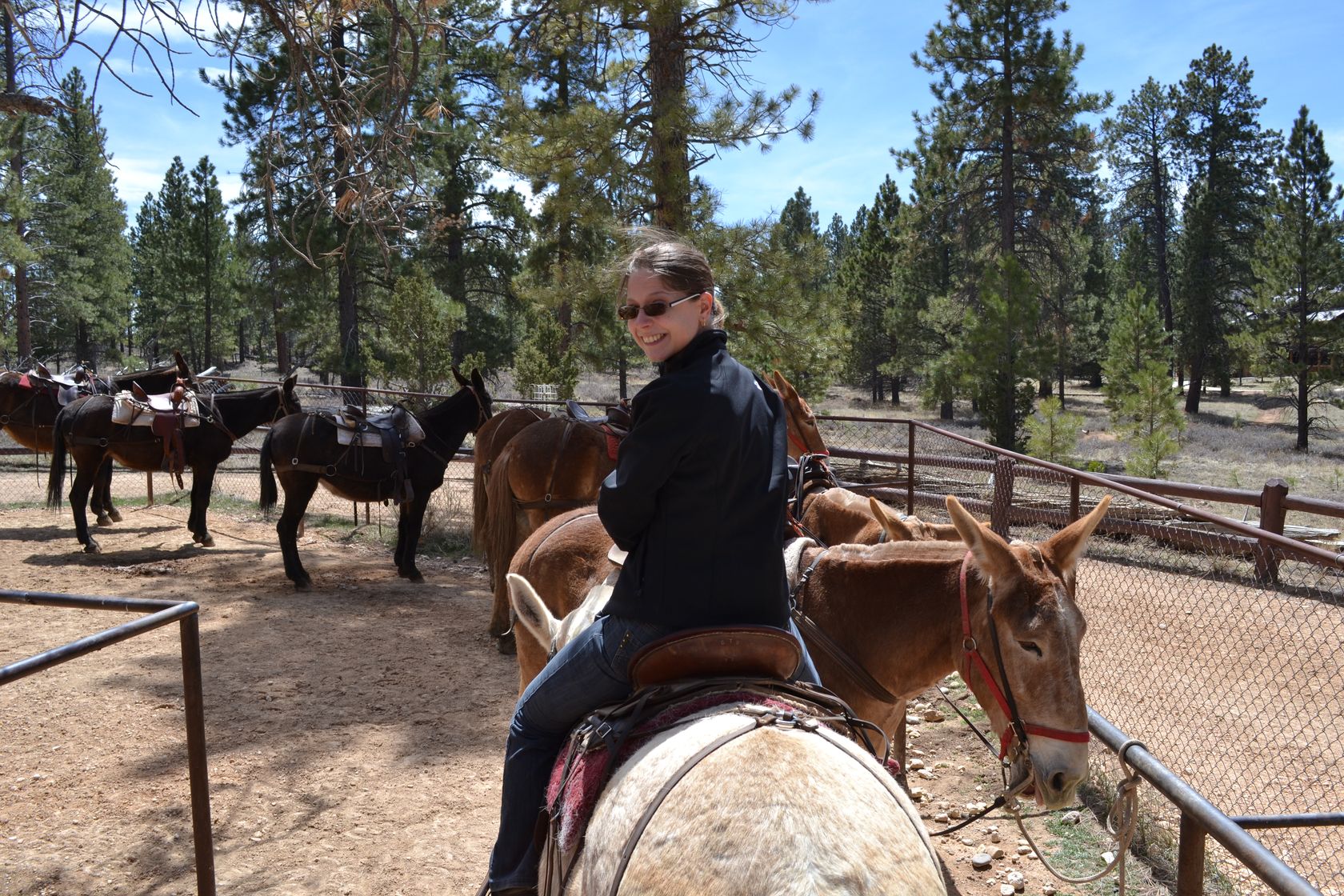
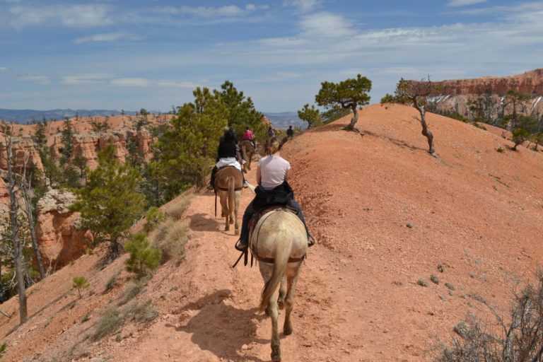
Ok they looks more like mules rather than fine horses… but for a canyon ride maybe it is best, let’s just hope they are not too stuborn! This is gonna be a 2-hours ride, in and out of the canyon along the horse trails. It takes us a few minutes to understand how to make the mules go on, stop or turn, but in the end it was pretty easy. If you accept the fact that the mules always want to go on the gap side of the trail, that’s a very pleasant way to travel… And so less tiring than doing the whole hike on our own!
We are now some true cowboys! It is already 4:30PM so we stop at Bryce Canyon city to grab some burgers and beers. 5:30PM, we are on the road again, and soon we reach Cannonville at the entrance of the Grand Staircase-Escalante Natl Monument. Yes we never managed to remember the correct order of all the words…
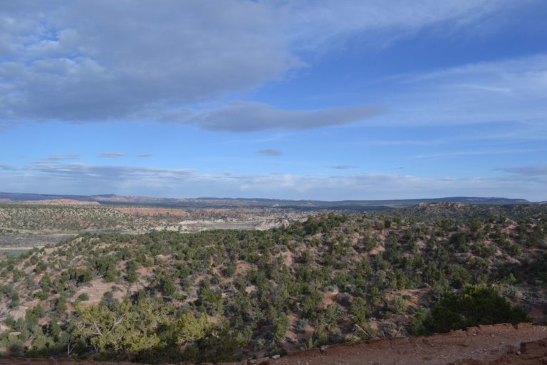
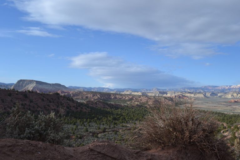
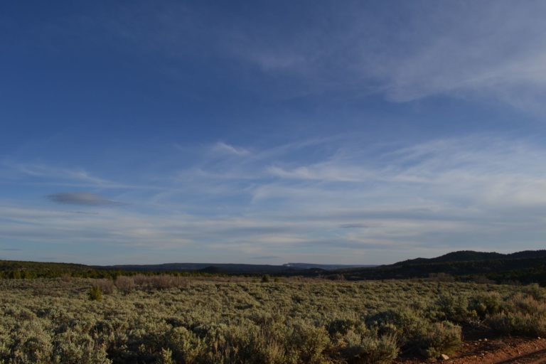
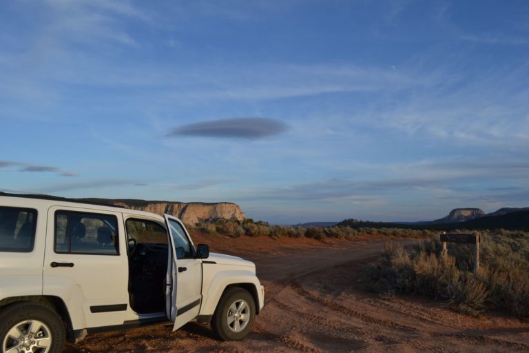
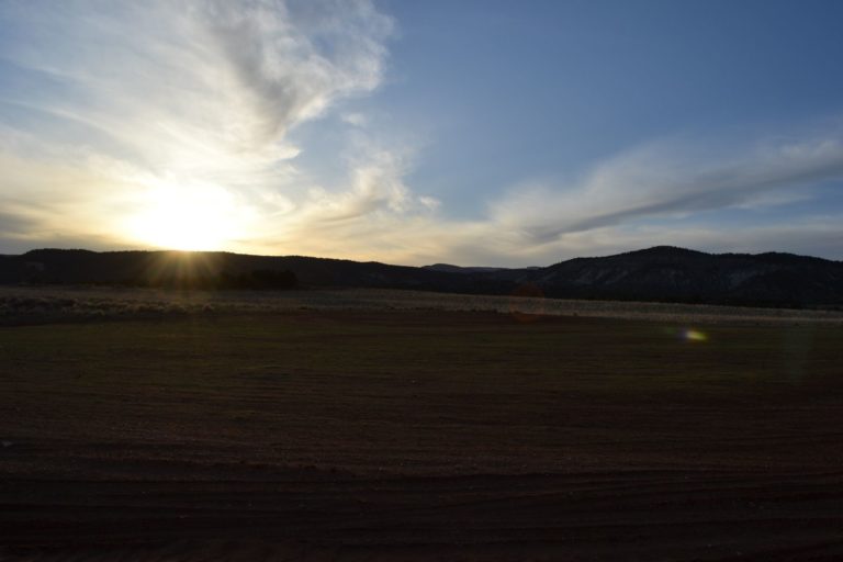
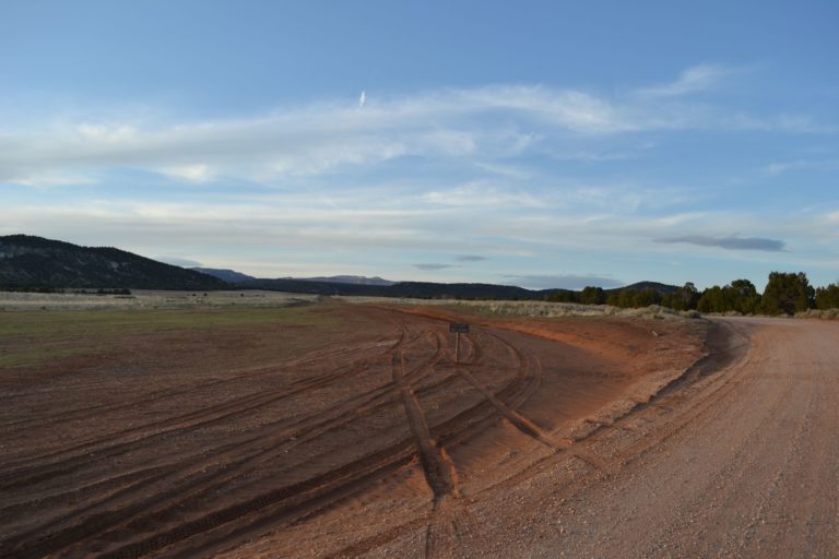
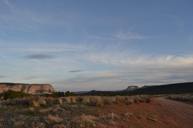
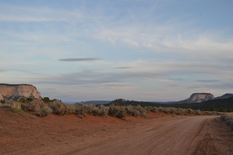
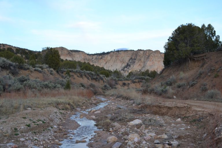
The road we wanted to take is closed (400, red), it seems a part of the road collapsed into a river… We hesitate a long time between the long turn through the brown trail 300 or the short one through the Skutumpah road (green, 600). The short one wins. The first part of it is rough but really rewarding. Right after watching the sunset on an airstrip near Lick Wash, we decide to take a longer road in the wilderness, meaning going through the Sand Road (purple, 666). After less than a mile we start crossing small creeks. One is much more complicated to pass as the opposite bank is really steep. Adie starts to panic, and begins to walk to see what comes next… The trail and the creek are only one, muddy, rocky. We have no other choice than to turn around or stay in the mud for the rest of the trip. Turning our car in the creek is quite difficult but we finally manage it. It’s almost dark now.
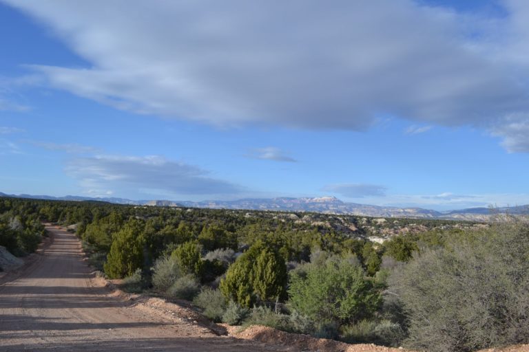
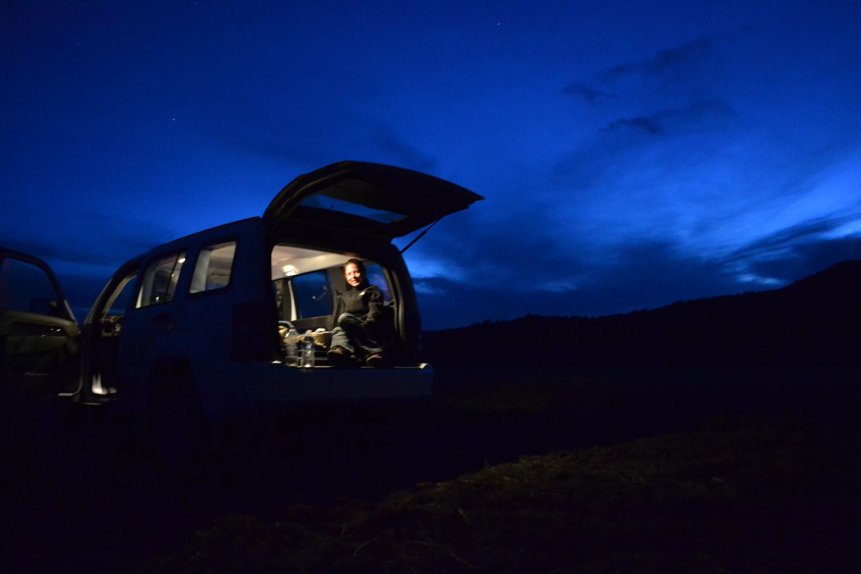
We go back to the Skutumpah road, which feels like an highway after the creeks and stop a few miles later for the night (at the red cross on the map).
Map of the day:

